MyTopo
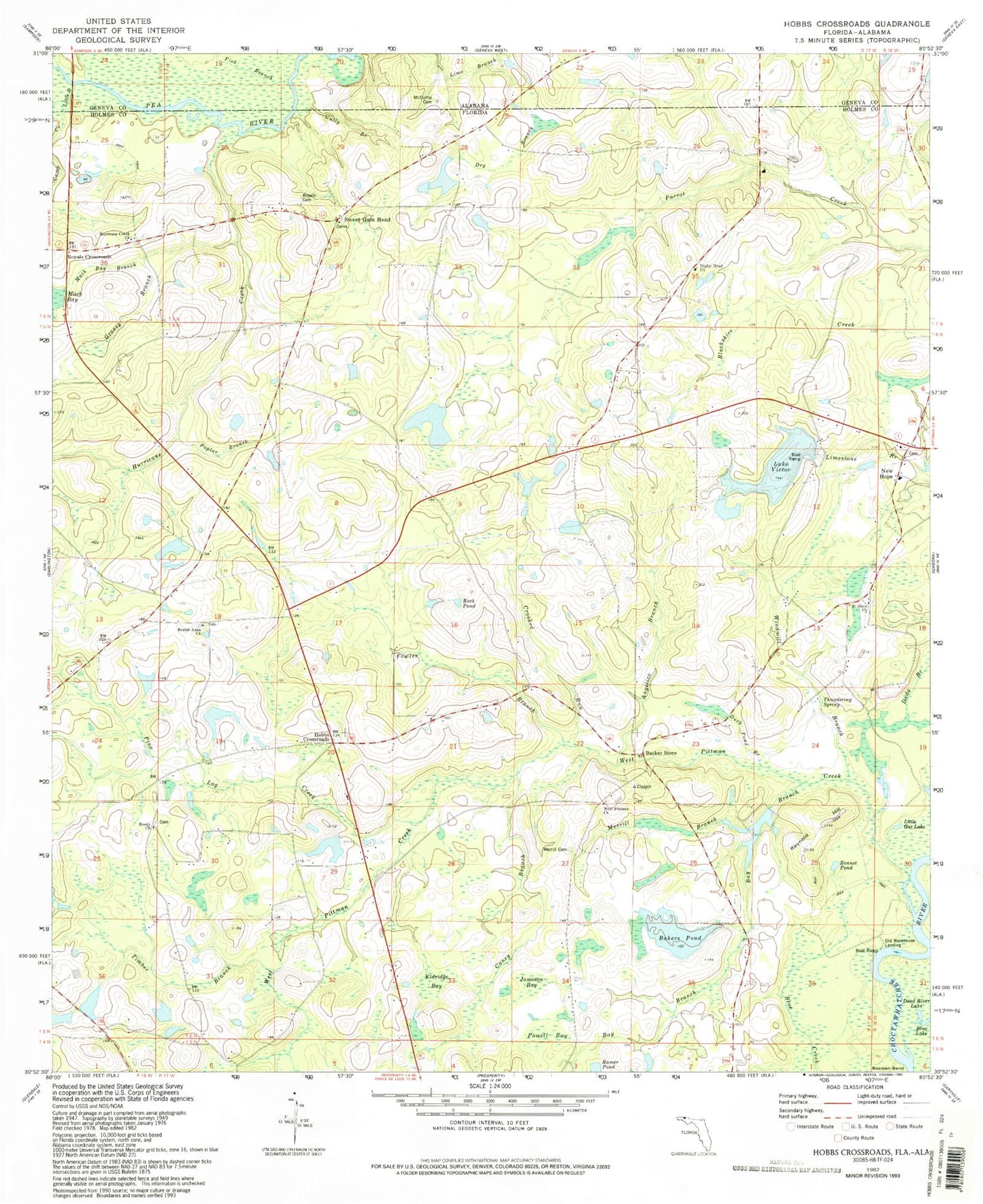
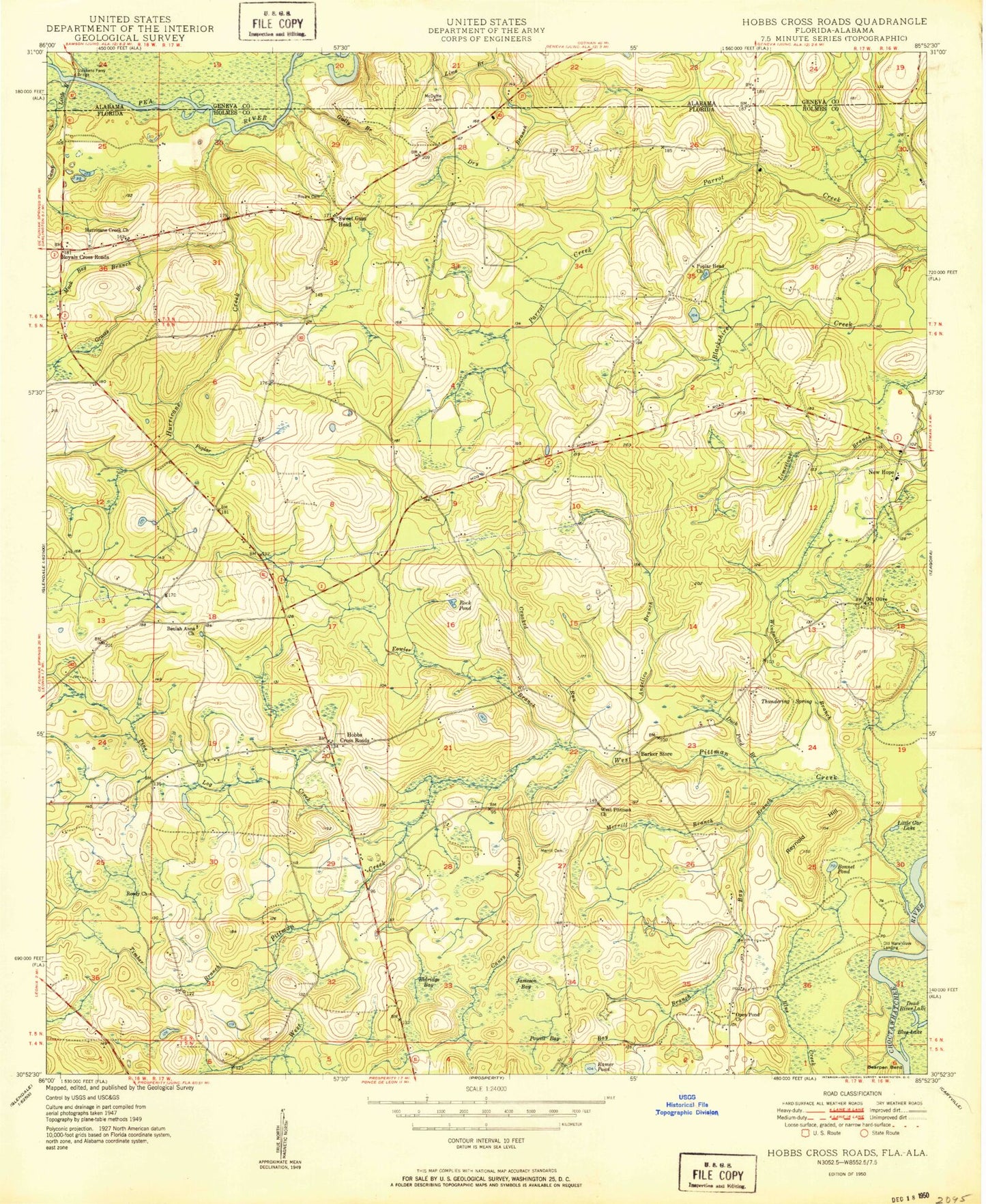
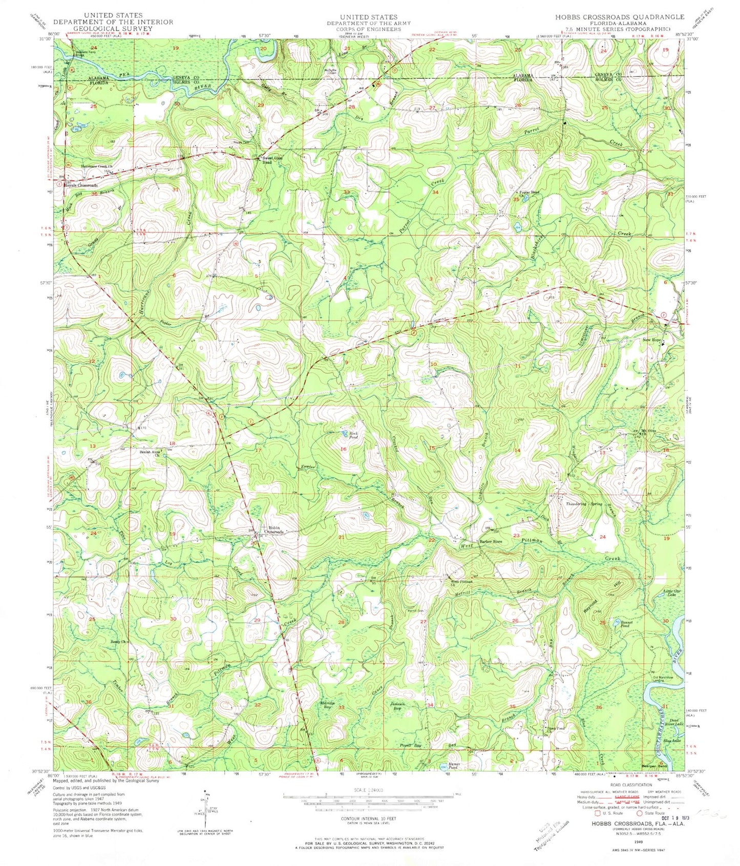
Classic USGS Hobbs Crossroads Florida 7.5'x7.5' Topo Map
Couldn't load pickup availability
Historical USGS topographic quad map of Hobbs Crossroads in the states of Florida, Alabama. Map scale may vary for some years, but is generally around 1:24,000. Print size is approximately 24" x 27"
This quadrangle is in the following counties: Geneva, Holmes.
The map contains contour lines, roads, rivers, towns, and lakes. Printed on high-quality waterproof paper with UV fade-resistant inks, and shipped rolled.
Contains the following named places: Angelico Branch, Bakers Pond, Barker Store, Bay Branch, Beulah Anna Church, Blue Lake, Bonnet Pond, Camp Creek, Caney Branch, Crooked Run, Dead River Lake, Dry Branch, Duck Pond Branch, Eldridge Bay, Fish Branch, Fowler Branch, Grassy Branch, Gully Branch, Henry Prescott Pond, Hobbs Crossroads, Holmes County Emergency Medical Services Station 3, Hurricane Creek, Hurricane Creek Church, Jameson Bay, Lake Victor, Little Gar Lake, Little River, McDuffie Cemetery, Merrill Branch, Merrill Cemetery, Mount Olive Church, New Hope, New Hope Fire Department, Old Warehouse Landing, Open Pond Church, Pine Log Community Volunteer Fire and Rescue, Pine Log Creek, Poplar Branch, Poplar Head Church, Powell Bay, Ramer Pond, Reedy Church, Reynold Hill, Rock Pond, Royals Cemetery, Royals Crossroads, Stephens Ferry Bridge, Stevens Ferry Bridge, Sweet Gum Head, Thundering Spring, Timber Branch, West Pittman Church, West Pittman Creek, Windmill Branch, ZIP Code: 32464