MyTopo
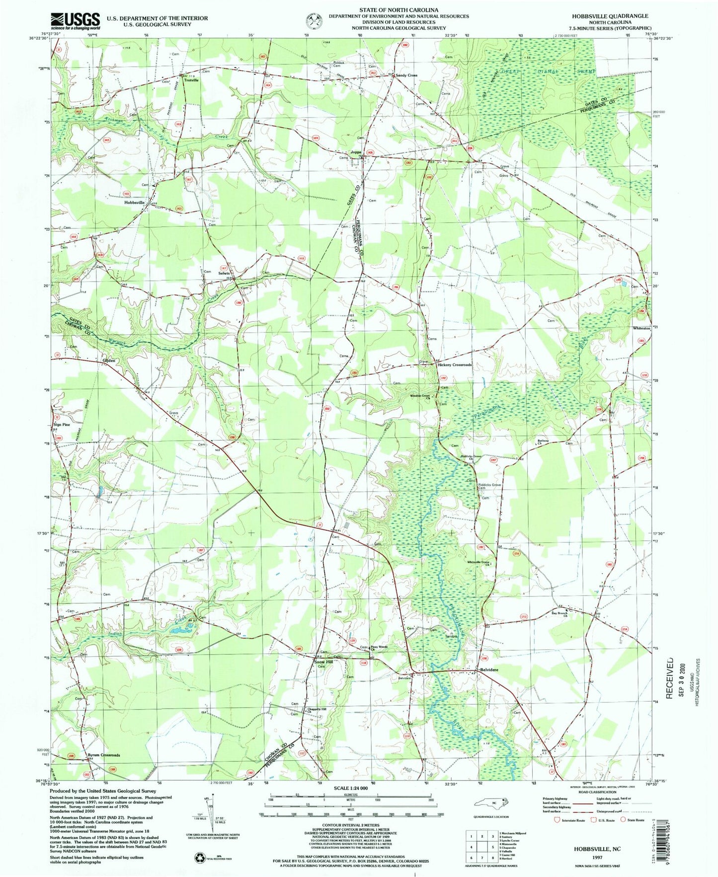
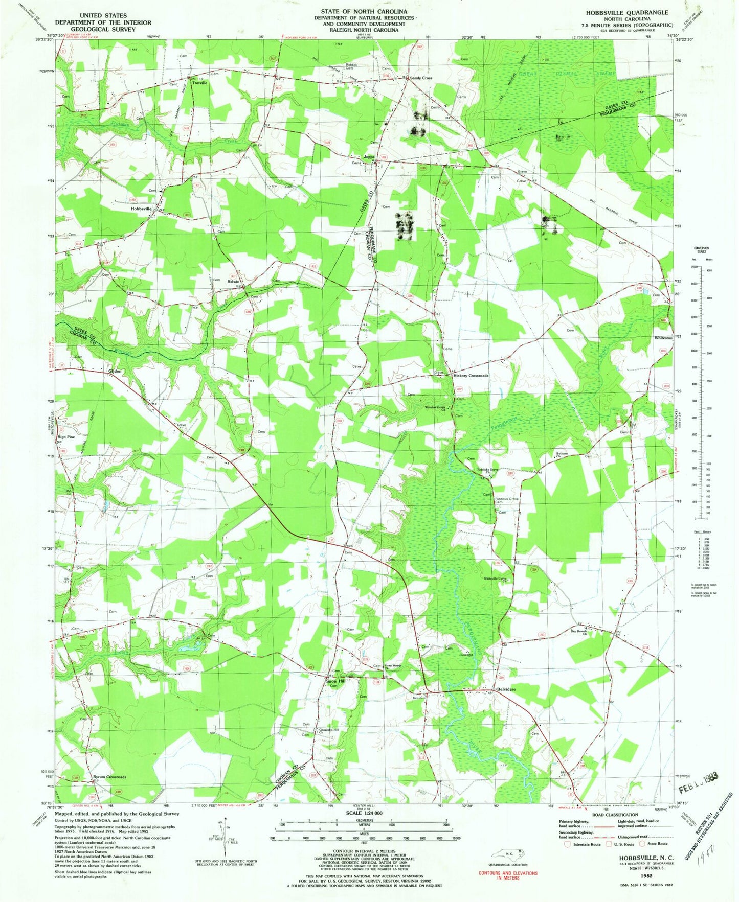
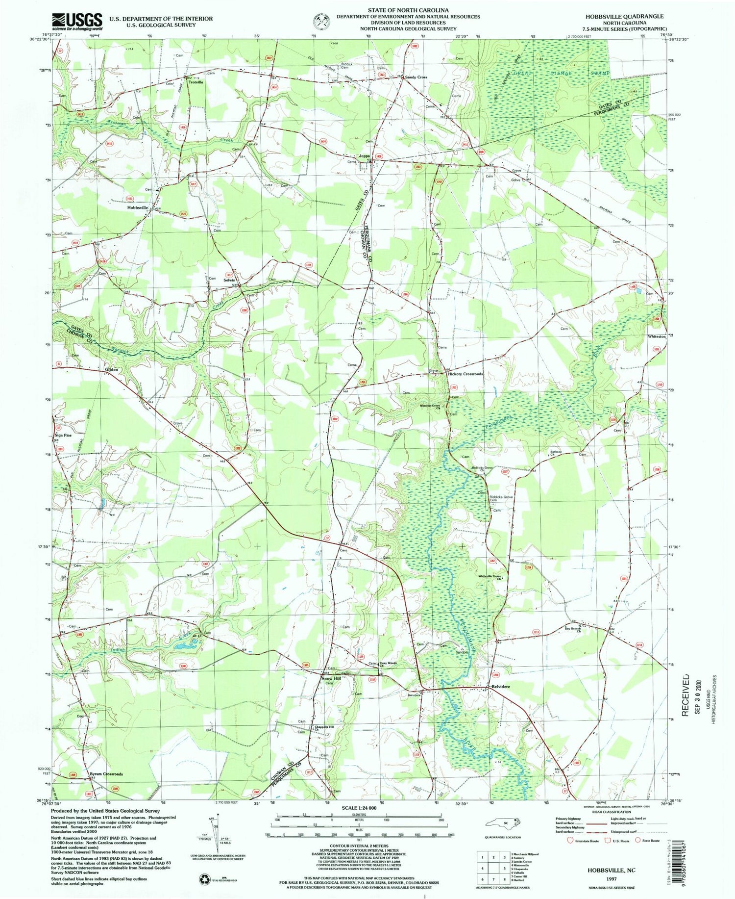
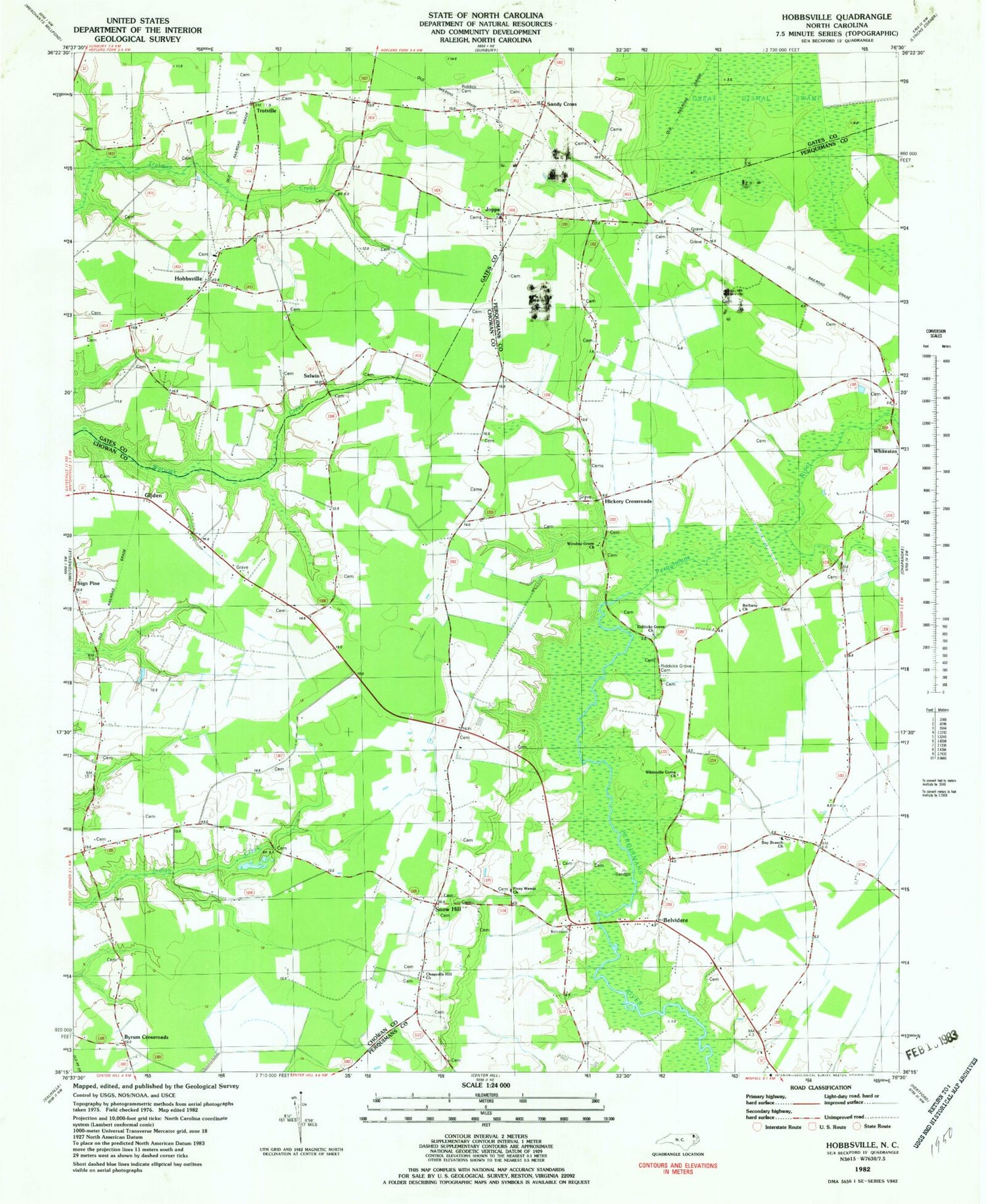
Classic USGS Hobbsville North Carolina 7.5'x7.5' Topo Map
Couldn't load pickup availability
Historical USGS topographic quad map of Hobbsville in the state of North Carolina. Map scale may vary for some years, but is generally around 1:24,000. Print size is approximately 24" x 27"
This quadrangle is in the following counties: Chowan, Gates, Perquimans.
The map contains contour lines, roads, rivers, towns, and lakes. Printed on high-quality waterproof paper with UV fade-resistant inks, and shipped rolled.
Contains the following named places: Bay Branch Church, Belvidere, Belvidere - Chappell Hill Volunteer Fire Department, Belvidere Post Office, Bethany Church, Bunch Family Cemetery, Burnt Pocoson, Byrum Crossroads, Chappells Hill Cemetery, Chappells Hill Church, Darden Landing, David Hobbs Family Cemetery, Dwight, Eason Family Cemetery, Genevieve Harrell Gravesite, Gliden, Grays Wharf, Hickory Crossroads, Hobbs - Stallings Family Cemetery, Hobbs Cemetery, Hobbsville, Hobbsville Baptist Church Cemetery, Hobbsville Post Office, Hobbsville Volunteer Fire Department, Hollowell Family Cemetery, JM Trotman Family Cemetery, Joppa, Josiah Overman Family Cemetery, Kee Family Cemetery, Keys Crossroads, King Family Cemetery, Nathan Ward Family Cemetery, Peach, Perry Bridge, Piney Woods Cemetery, Piney Woods Church, Riddick Cemetery, Riddick Family Cemetery, Riddicks Grove Cemetery, Riddicks Grove Church, Robert Hendrix Family Cemetery, Ryland, Sandy Cross, Sandy Cross Baptist Church, Sandy Cross Baptist Church Cemetery, Sandy Ridge, Selwin, Sign Pine, Snow Hill, Township of Belvidere, Trotville, Upriver Bridge, Whiteville Grove Church, Winslow Grove Church, ZIP Codes: 27919, 27946


