
MyTopo
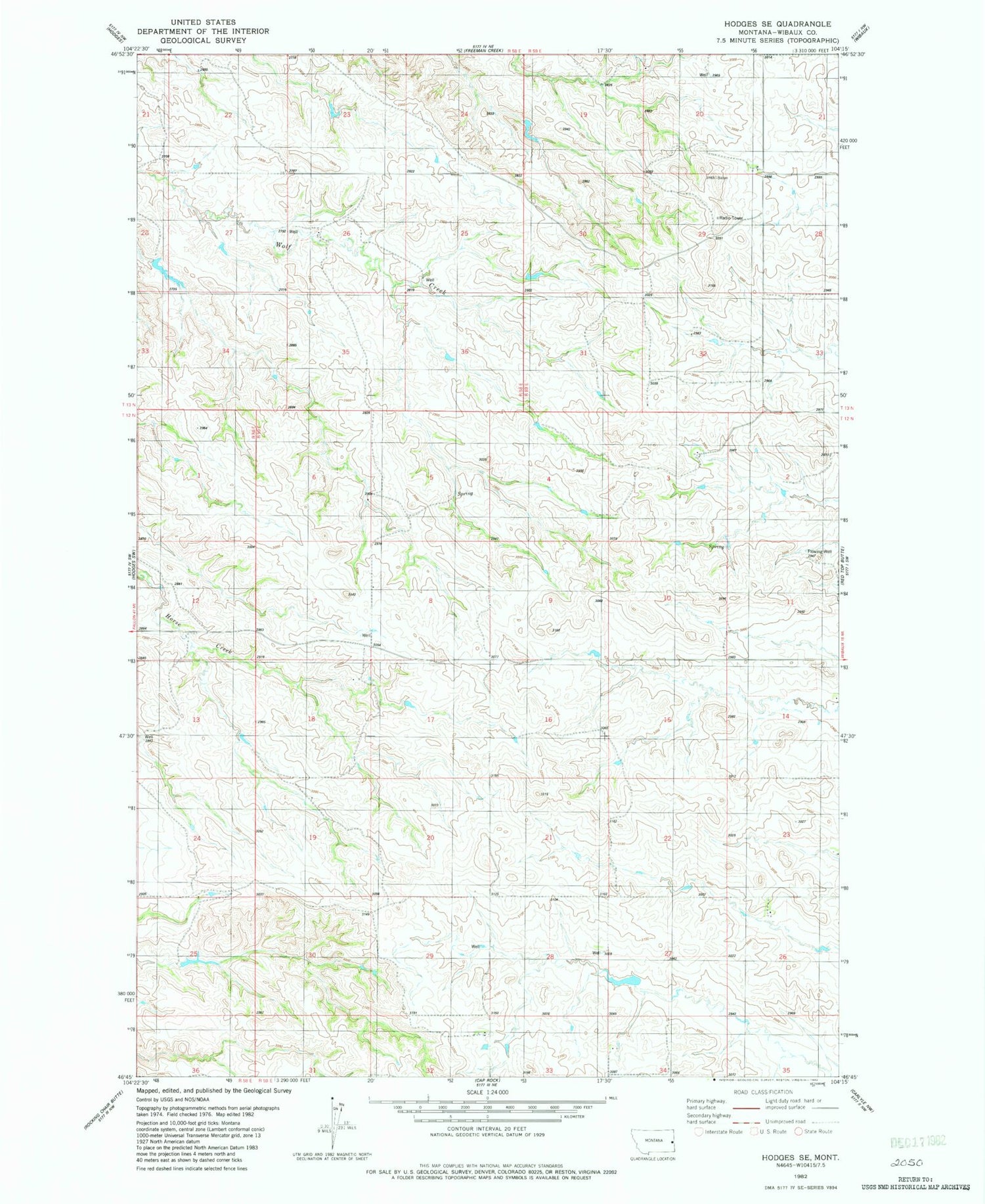
Classic USGS Hodges SE Montana 7.5'x7.5' Topo Map
Regular price
$16.95
Regular price
Sale price
$16.95
Unit price
per
Couldn't load pickup availability
Historical USGS topographic quad map of Hodges SE in the state of Montana. Map scale may vary for some years, but is generally around 1:24,000. Print size is approximately 24" x 27"
This quadrangle is in the following counties: Wibaux.
The map contains contour lines, roads, rivers, towns, and lakes. Printed on high-quality waterproof paper with UV fade-resistant inks, and shipped rolled.
Contains the following named places: 12N59E32AADA01 Well, 13N59E29AAAB01 Well, 13N59E32BADA01 Well, Bakken School, Cassidy School, Douthit School, East School, J Witkowske Number 1 Dam, Pine Hill-Saint Phillips Division


