MyTopo
Classic USGS Hog Bayou Louisiana 7.5'x7.5' Topo Map
Regular price
$16.95
Regular price
Sale price
$16.95
Unit price
per
Couldn't load pickup availability
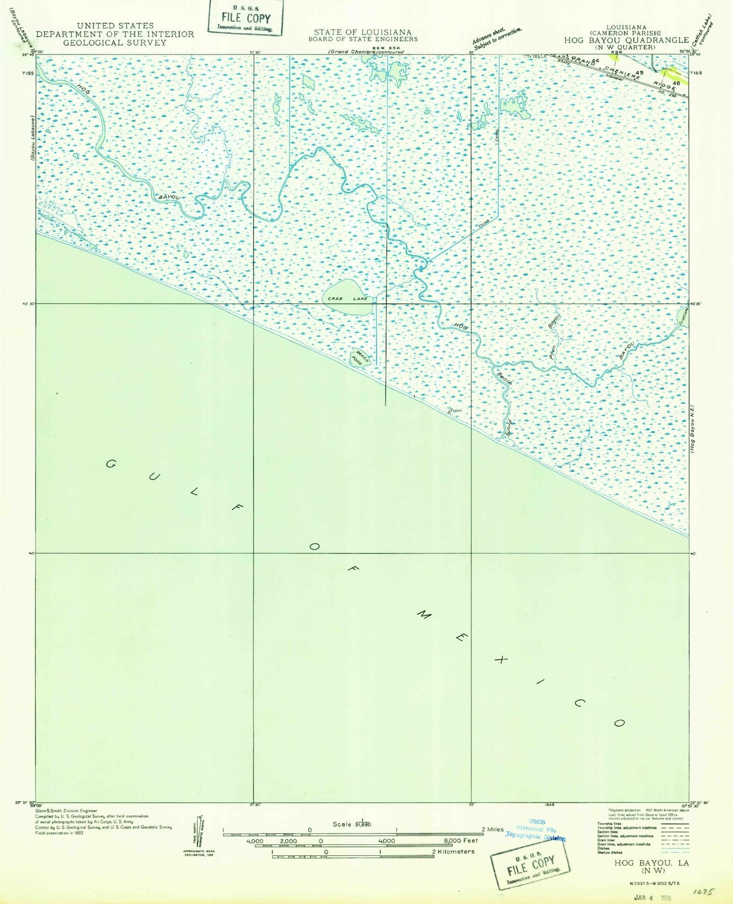
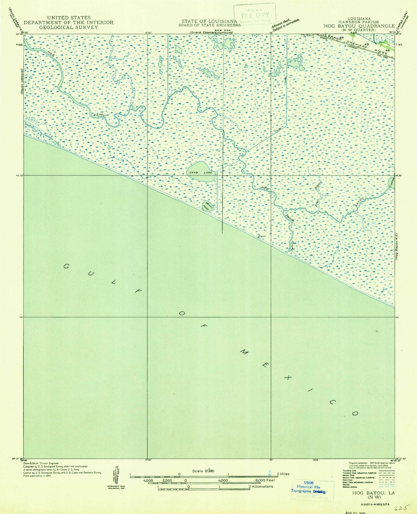
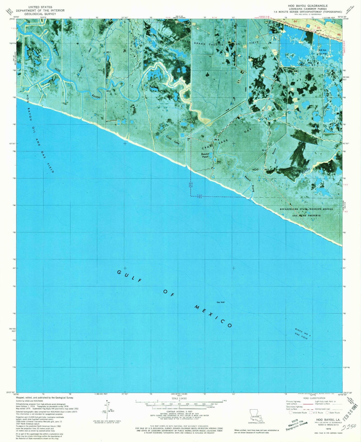
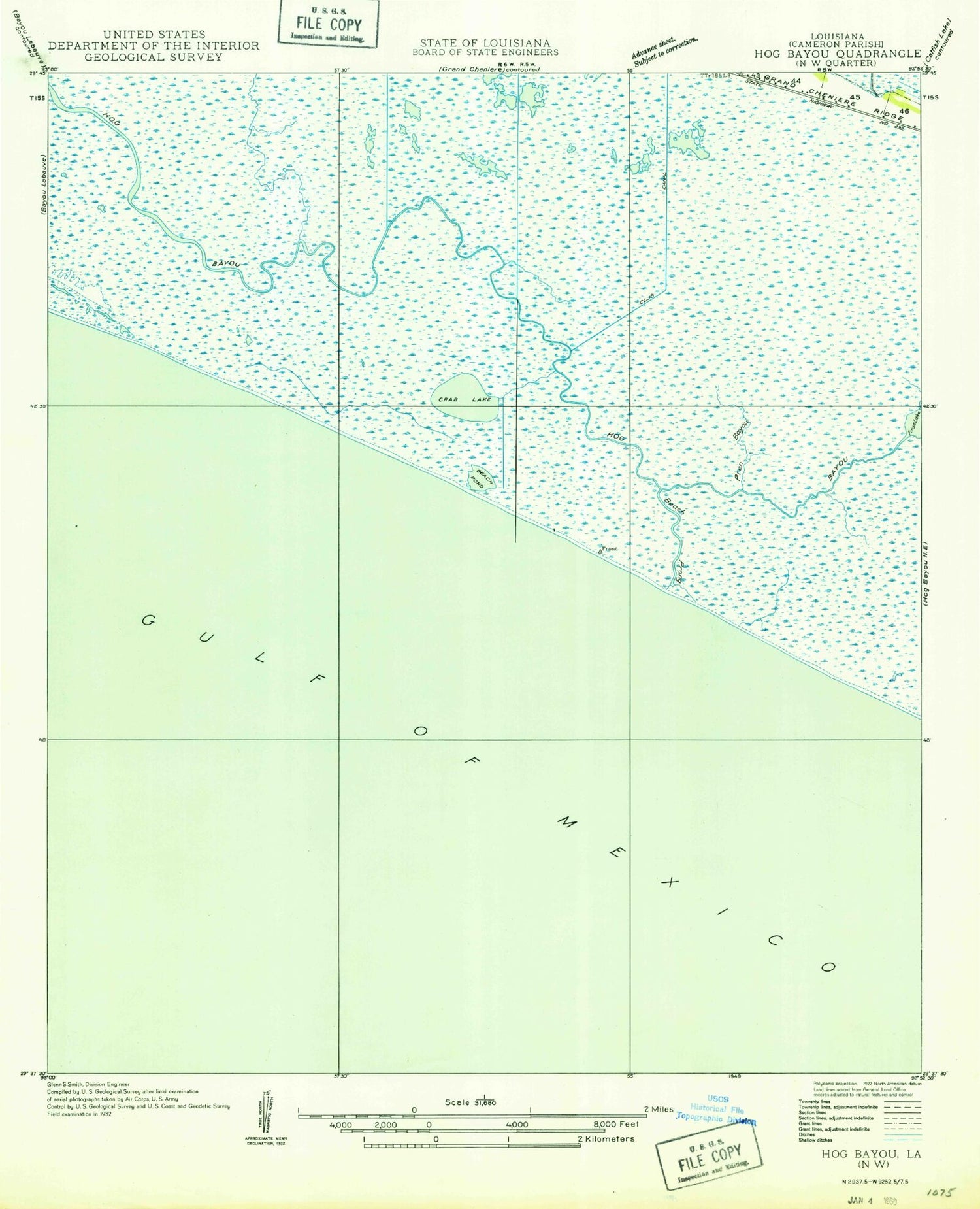
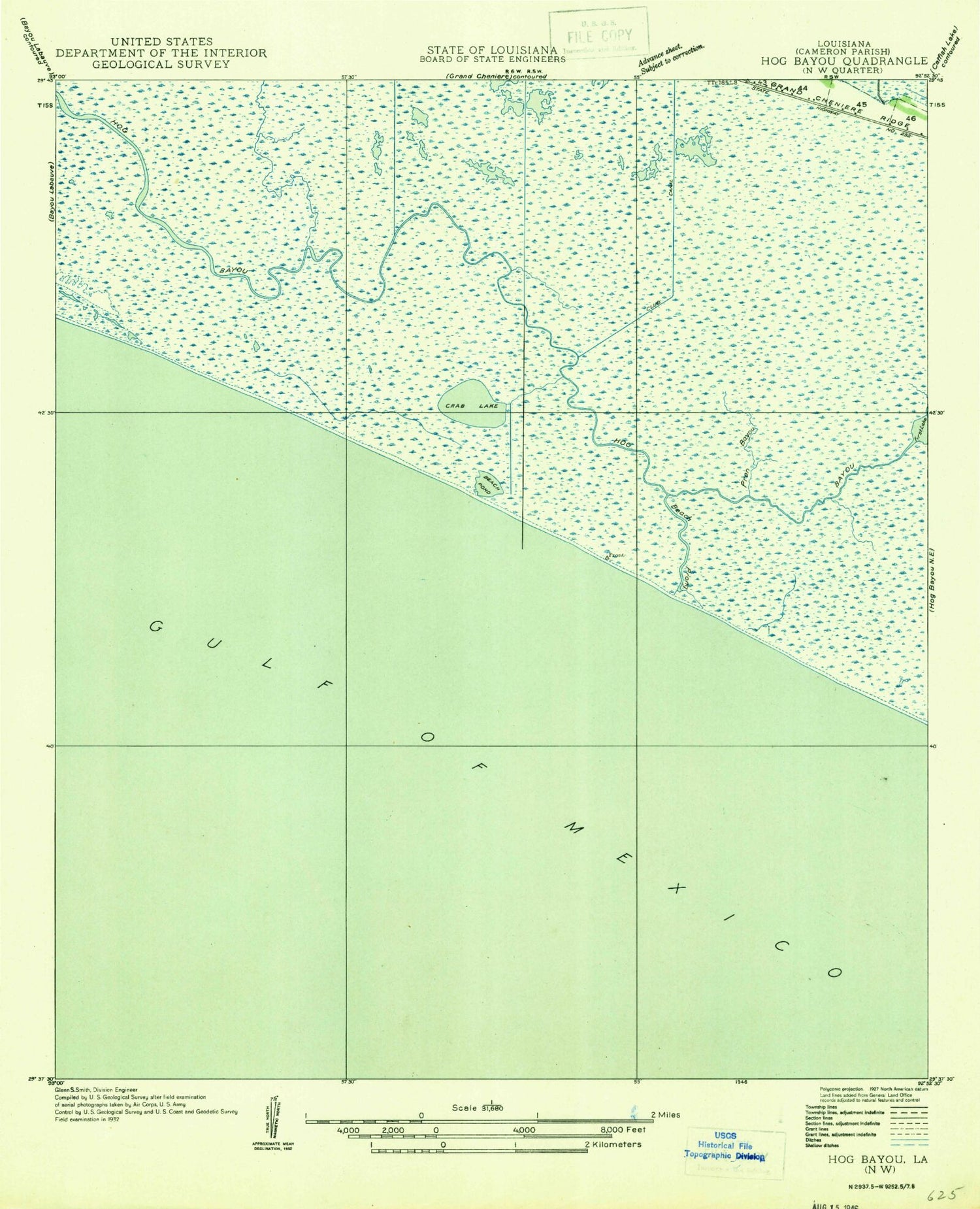
Historical USGS topographic quad map of Hog Bayou in the state of Louisiana. Map scale may vary for some years, but is generally around 1:24,000. Print size is approximately 24" x 27"
This quadrangle is in the following counties: Cameron.
The map contains contour lines, roads, rivers, towns, and lakes. Printed on high-quality waterproof paper with UV fade-resistant inks, and shipped rolled.
Contains the following named places: Beach Pond, Beach Prong, Block Number 4 Gas Field, Club Canal, Crab Lake, Crab Lake Gas Field, First Lake, Grand Chenier Ridge, Hog Bayou, Hog Bayou Oil and Gas Field, Pren Branch, South Grand Chenier Gas Field