MyTopo
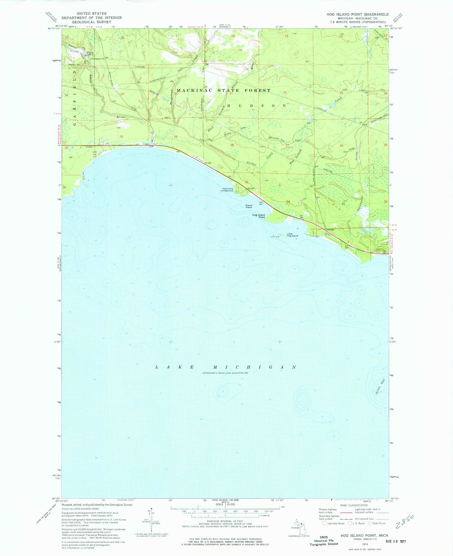
Classic USGS Hog Island Point Michigan 7.5'x7.5' Topo Map
Couldn't load pickup availability
Historical USGS topographic quad map of Hog Island Point in the state of Michigan. Typical map scale is 1:24,000, but may vary for certain years, if available. Print size: 24" x 27"
This quadrangle is in the following counties: Mackinac.
The map contains contour lines, roads, rivers, towns, and lakes. Printed on high-quality waterproof paper with UV fade-resistant inks, and shipped rolled.
Contains the following named places: Black River, Borgstrom Creek, Davenport Creek, East Branch Black River, Gravel Island, Hog Island Campground, Hog Island Creek, Hog Island Point, Little Hog Island, Peters Creek, Sucker Creek, Mackinac State Forest, Black River State Forest Campground, Garlyn Zoological Park, Harts RV Park