MyTopo
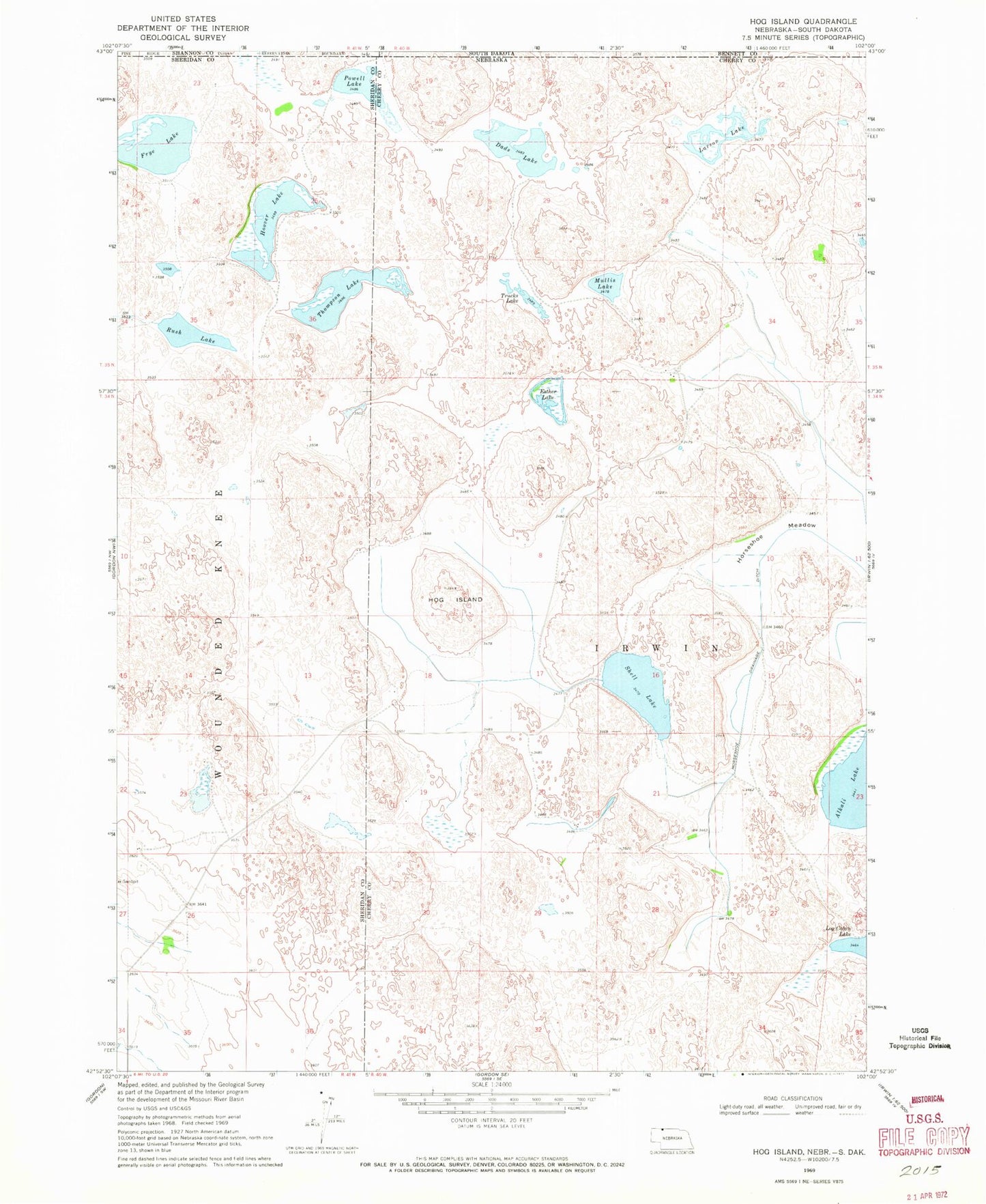
Classic USGS Hog Island Nebraska 7.5'x7.5' Topo Map
Couldn't load pickup availability
Historical USGS topographic quad map of Hog Island in the state of Nebraska. Map scale may vary for some years, but is generally around 1:24,000. Print size is approximately 24" x 27"
This quadrangle is in the following counties: Bennett, Cherry, Oglala Lakota, Sheridan.
The map contains contour lines, roads, rivers, towns, and lakes. Printed on high-quality waterproof paper with UV fade-resistant inks, and shipped rolled.
Contains the following named places: Dads Lake, Esther Lake, Frye Lake, Hog Island, Hoover Lake, Horseshoe Drainage Ditch, Horseshoe Meadow, Larson Lake, Log Cabin Lake, Mullis Lake, Powell Lake, Rush Lake, Shell Lake, Shell Lake Dam, Shell Lake State Wildlife Management Area, Thompson Lake, Trucks Lake