MyTopo
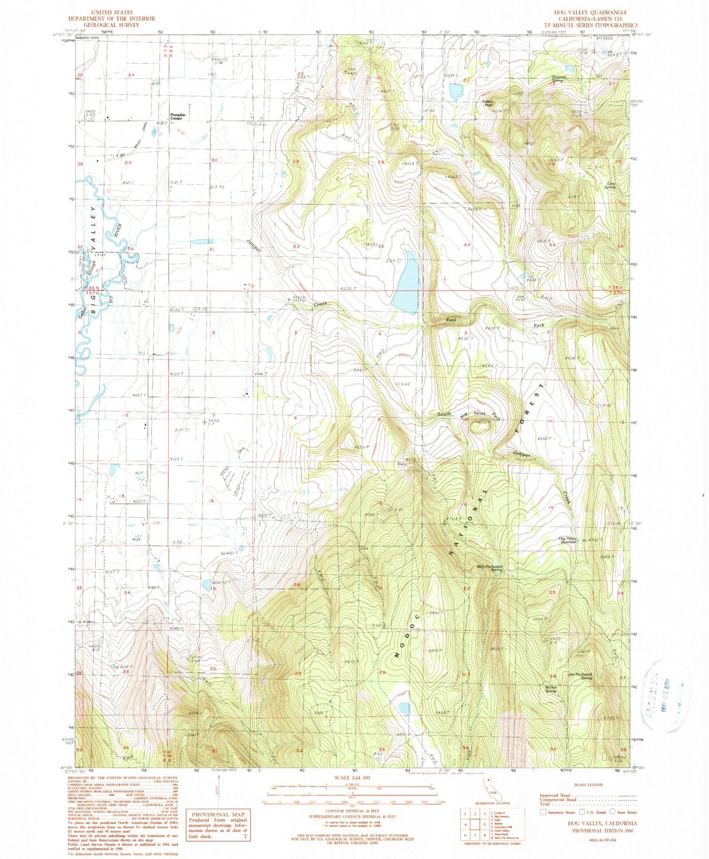
Classic USGS Hog Valley California 7.5'x7.5' Topo Map
Couldn't load pickup availability
Historical USGS topographic quad map of Hog Valley in the state of California. Map scale may vary for some years, but is generally around 1:24,000. Print size is approximately 24" x 27"
This quadrangle is in the following counties: Lassen.
The map contains contour lines, roads, rivers, towns, and lakes. Printed on high-quality waterproof paper with UV fade-resistant inks, and shipped rolled.
Contains the following named places: Billy Packwood Spring, Cary Spring, Ditch Camp, East Fork Juniper Creek, Hog Valley, Hog Valley Reservoir, Indian Peak, Iverson 1239 Dam, Jim Packwood Spring, Juniper Creek, Leonard Number 2 1252 Dam, Pumpkin Center, Richman Spring, South Fork Juniper Creek, Walker Spring, ZIP Code: 96009