MyTopo
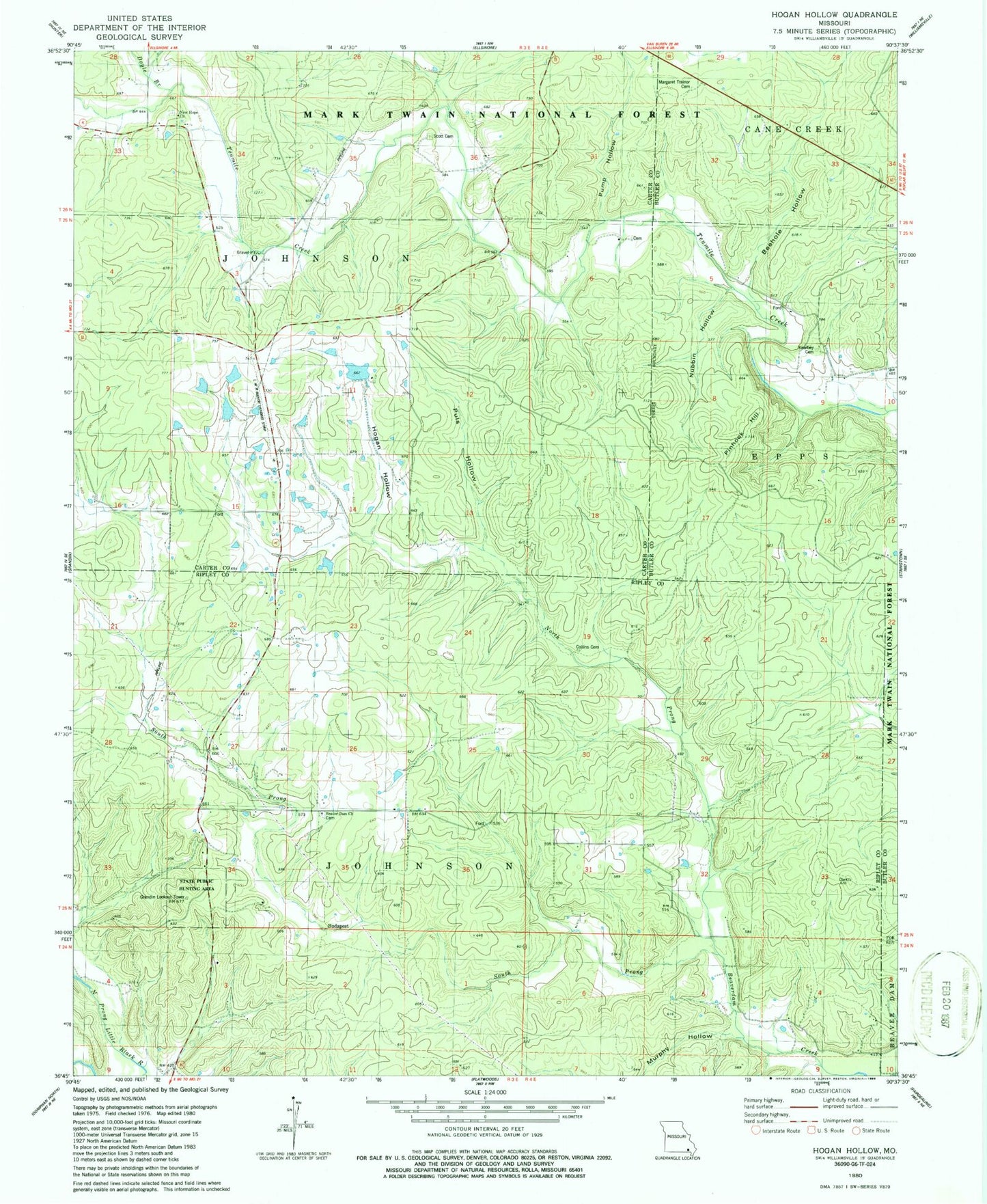
Classic USGS Hogan Hollow Missouri 7.5'x7.5' Topo Map
Couldn't load pickup availability
Historical USGS topographic quad map of Hogan Hollow in the state of Missouri. Map scale may vary for some years, but is generally around 1:24,000. Print size is approximately 24" x 27"
This quadrangle is in the following counties: Butler, Carter, Ripley.
The map contains contour lines, roads, rivers, towns, and lakes. Printed on high-quality waterproof paper with UV fade-resistant inks, and shipped rolled.
Contains the following named places: Beaver Dam Catholic Cemetery, Beaver Dam Church, Beaver Lake Dam, Beaverdam, Beehole Branch, Beehole Hollow, Budapest, Collins Cemetery, Double S Ranch Airport, Doyle Branch, Emmons School, Grandin Lookout Tower, Hogan Hollow, Hogan Hollow School, Homestead, Kearbey Chapel Cemetery, Kearby Chapel, Lake Hogan, Lake Hogan Dam, Lower Tenmile School, Mallard Dam, Mallard Lake Dam, Margaret Treanor Cemetery, Mb Ranch Airport, Murphy Hollow, New Hope Church, North Prong Beaverdam Creek, Nubbin Hollow, Pine Valley School, Pine View School, Pinhook Hill, Puls Hollow, Pump Hollow, Scott Cemetery, South Prong Beaverdam Creek, State Public Hunting Area, Thompson Chapel