MyTopo
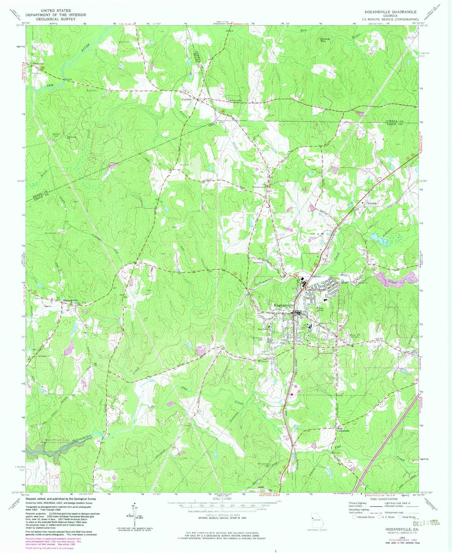
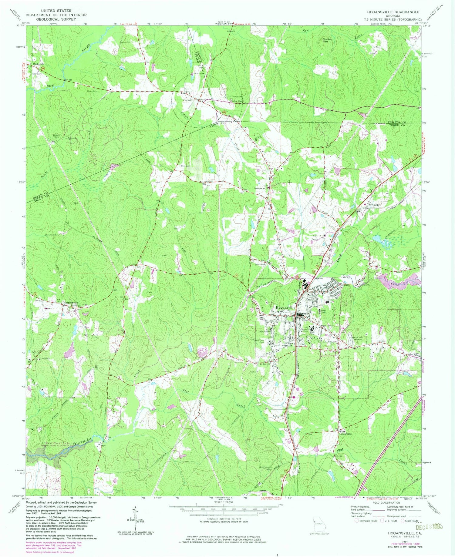
Classic USGS Hogansville Georgia 7.5'x7.5' Topo Map
Couldn't load pickup availability
Historical USGS topographic quad map of Hogansville in the state of Georgia. Map scale may vary for some years, but is generally around 1:24,000. Print size is approximately 24" x 27"
This quadrangle is in the following counties: Coweta, Heard, Troup.
The map contains contour lines, roads, rivers, towns, and lakes. Printed on high-quality waterproof paper with UV fade-resistant inks, and shipped rolled.
Contains the following named places: Antioch Church, Asbury Cemetery, Asbury Church, Assembly of God Church, Asta Village, Bass Crossroads, Blue Creek, Blue Creek Reservoir, Boozer Chapel, Brays Lakeview, Brown Cemetery, Bruce Cemetery, Callaway Dam, Callaway Lake, Cheathams Pond, City of Hogansville, Clair Lake, Clair Lake Dam, Cook Cemetery, Cooksville, Corinth, Corinth Academy, Corinth Baptist Church, Corinth Church Cemetery, Corinth United Methodist Church, Dunbar Mountain, Flat Creek, Gospel Mission Church, Hammett Acres, Harmonia Cemetery, Harmonia School, Harmony United Methodist Church, Harrisonville, Hills Chapel, Hogansville, Hogansville City Hall, Hogansville Division, Hogansville Elementary School, Hogansville High School, Hogansville Police Department, Hogansville Post Office, Jackson Cemetery, Lakeview Meadows, Mount Perry Church, Mount Zion Cemetery, Mount Zion Church, Myrtle Hill Cemetery, New Providence Cemetery, Old Emmaus Cemetery, Old Providence Cemetery, Providence Missionary Baptist Church, Reid Cemetery, Saint Mary Methodist Church Cemetery, Stinson Cemetery, T Eugene Crocker Primary School, Trimble, Troup County Fire Department Station 11, Troup County Fire Department Station 8, Wadley Chapel Cemetery, Walley Chapel, Welcome All Church, West End School, West View Cemetery, Word Cemetery, Yellow Jacket Creek Structure Number 15 Lake, ZIP Code: 30230


