MyTopo
Classic USGS Hogback Ridge California 7.5'x7.5' Topo Map
Regular price
$16.95
Regular price
Sale price
$16.95
Unit price
per
Couldn't load pickup availability
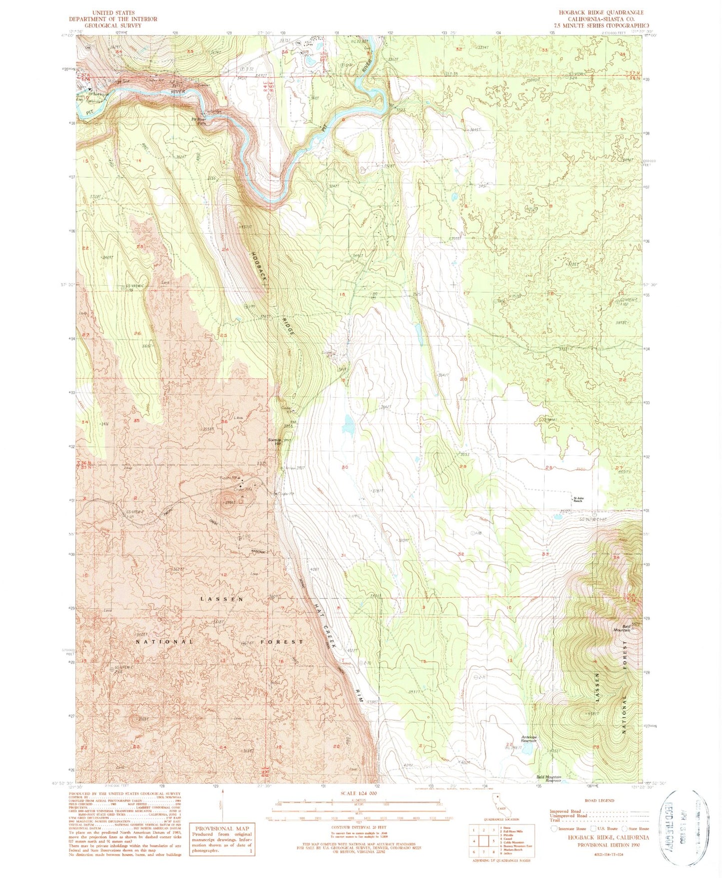
Historical USGS topographic quad map of Hogback Ridge in the state of California. Map scale may vary for some years, but is generally around 1:24,000. Print size is approximately 24" x 27"
This quadrangle is in the following counties: Shasta.
The map contains contour lines, roads, rivers, towns, and lakes. Printed on high-quality waterproof paper with UV fade-resistant inks, and shipped rolled.
Contains the following named places: Antelope Reservoir, Antelope Reservoir Dam, Bald Mountain, Fall River Quarry B, Fall River Valley, Hogback Ridge, Pit One Powerhouse, Pit River Falls, Saint John Ranch, Sixmile Hill