MyTopo
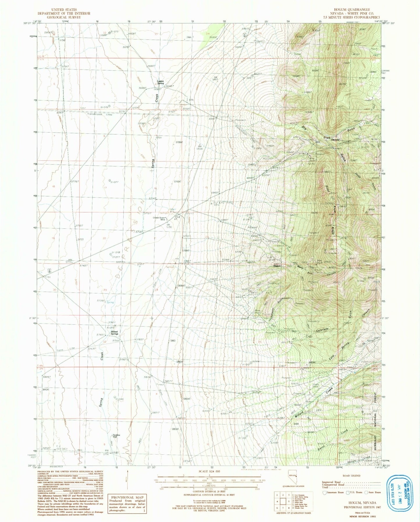
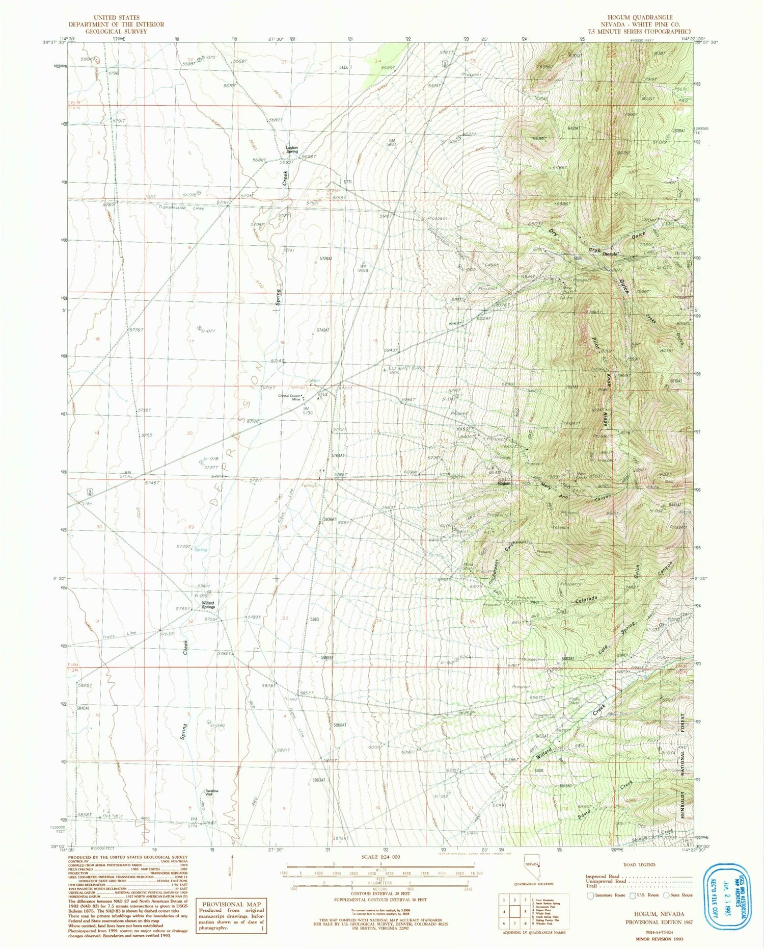
Classic USGS Hogum Nevada 7.5'x7.5' Topo Map
Couldn't load pickup availability
Historical USGS topographic quad map of Hogum in the state of Nevada. Map scale may vary for some years, but is generally around 1:24,000. Print size is approximately 24" x 27"
This quadrangle is in the following counties: White Pine.
The map contains contour lines, roads, rivers, towns, and lakes. Printed on high-quality waterproof paper with UV fade-resistant inks, and shipped rolled.
Contains the following named places: Black Mule Mine, Cold Spring Canyon, Colorado Gulch, Crystal Queen Mine, Dry Gulch, Dry Gulch Pilot Knob Mines, Grub Gulch, Hogum, Hogum Mines, Jacks Gulch, Jacks Spring, Lassie Jean Mine, Layton Spring, Mary Ann Canyon, Osceola, Osceola Mine, Osceola Post Office, Pilot Knob Ridge, Serpent Gulch, Swallow Well, Willard Creek, Willard Creek Ranch, Willard Springs