MyTopo
Classic USGS Hoko Falls Washington 7.5'x7.5' Topo Map
Regular price
$16.95
Regular price
Sale price
$16.95
Unit price
per
Couldn't load pickup availability
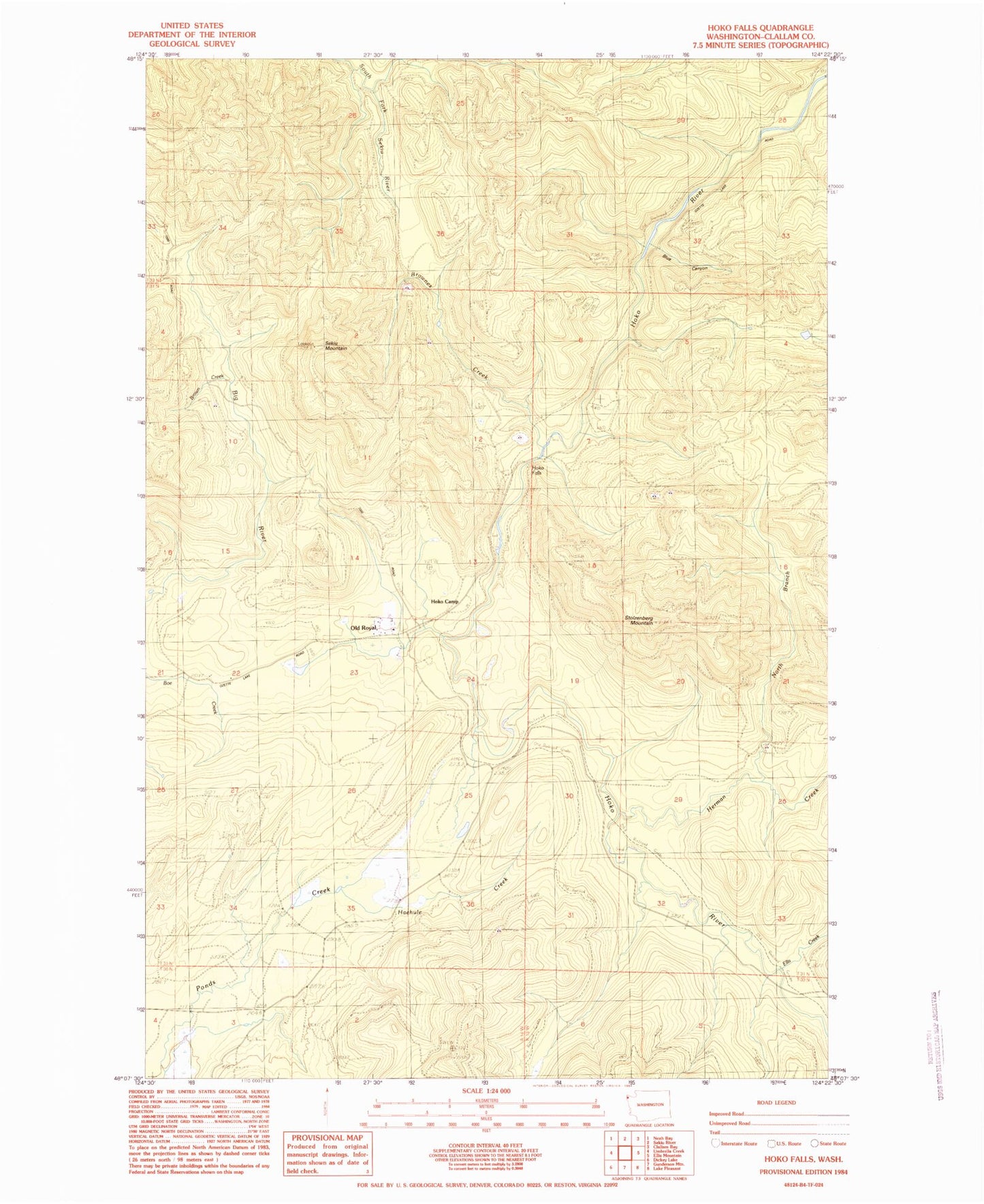
Historical USGS topographic quad map of Hoko Falls in the state of Washington. Map scale may vary for some years, but is generally around 1:24,000. Print size is approximately 24" x 27"
This quadrangle is in the following counties: Clallam.
The map contains contour lines, roads, rivers, towns, and lakes. Printed on high-quality waterproof paper with UV fade-resistant inks, and shipped rolled.
Contains the following named places: Blue Canyon, Brown Creek, Brownes Creek, Clallam Bay-Neah Bay Division, Ellis Creek, Haehule Creek, Herman Creek, Herman Falls, Hoko Camp, Hoko Falls, North Branch Herman Creek, Old Royal, Sekiu Mountain, Stolzenburg Mountain, ZIP Code: 98326