MyTopo
Classic USGS Holbrook Nebraska 7.5'x7.5' Topo Map
Couldn't load pickup availability
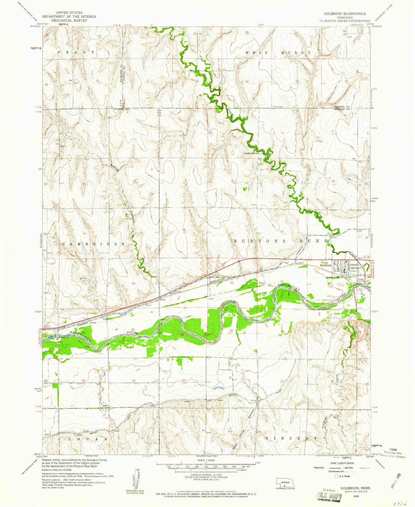
Historical USGS topographic quad map of Holbrook in the state of Nebraska. Map scale may vary for some years, but is generally around 1:24,000. Print size is approximately 24" x 27"
This quadrangle is in the following counties: Frontier, Furnas, Gosper.
The map contains contour lines, roads, rivers, towns, and lakes. Printed on high-quality waterproof paper with UV fade-resistant inks, and shipped rolled.
Contains the following named places: Ag Valley Co-op Elevator, Burtons Bend Historical Marker, Burtons Bend Post Office, Church of God, Deer Creek, Gross Dam Number 2, Gross Reservoir Number 2, Hilger Dam, Hilger Reservoir, Holbrook, Holbrook City Park, Holbrook Election Precinct, Holbrook Emergency Ambulance Services, Holbrook Post Office, Holbrook Volunteer Fire Department, Lutheran Church, Norwegian Lutheran Church Historical Marker, Smith Canyon, Township of Burtons Bend, Township of Cambridge, Village of Holbrook, Wild Horse Canyon, ZIP Code: 68948