MyTopo
Classic USGS Holder Creek Texas 7.5'x7.5' Topo Map
Regular price
$16.95
Regular price
Sale price
$16.95
Unit price
per
Couldn't load pickup availability
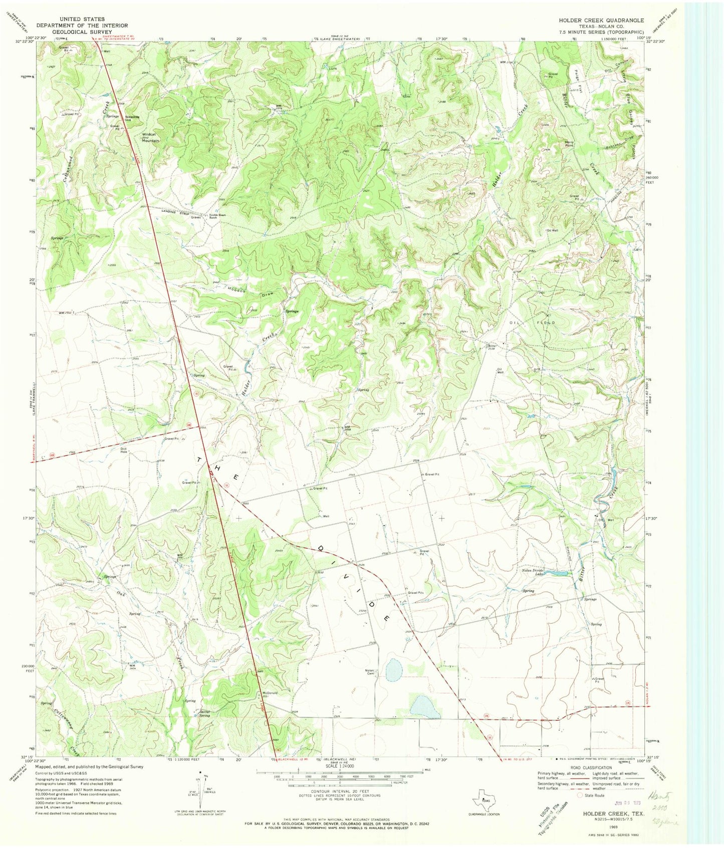
Historical USGS topographic quad map of Holder Creek in the state of Texas. Map scale may vary for some years, but is generally around 1:24,000. Print size is approximately 24" x 27"
This quadrangle is in the following counties: Nolan.
The map contains contour lines, roads, rivers, towns, and lakes. Printed on high-quality waterproof paper with UV fade-resistant inks, and shipped rolled.
Contains the following named places: Barrel Spring, Dill Canyon, Double Heart Ranch, Hoodoo Draw, Little Blue Gainey Points, Merry Point, Ninemile Hill, Nolan Cemetery, Nolan Divide Lake, Paige Flat, Robtann Draw, Wildcat Mountain