MyTopo
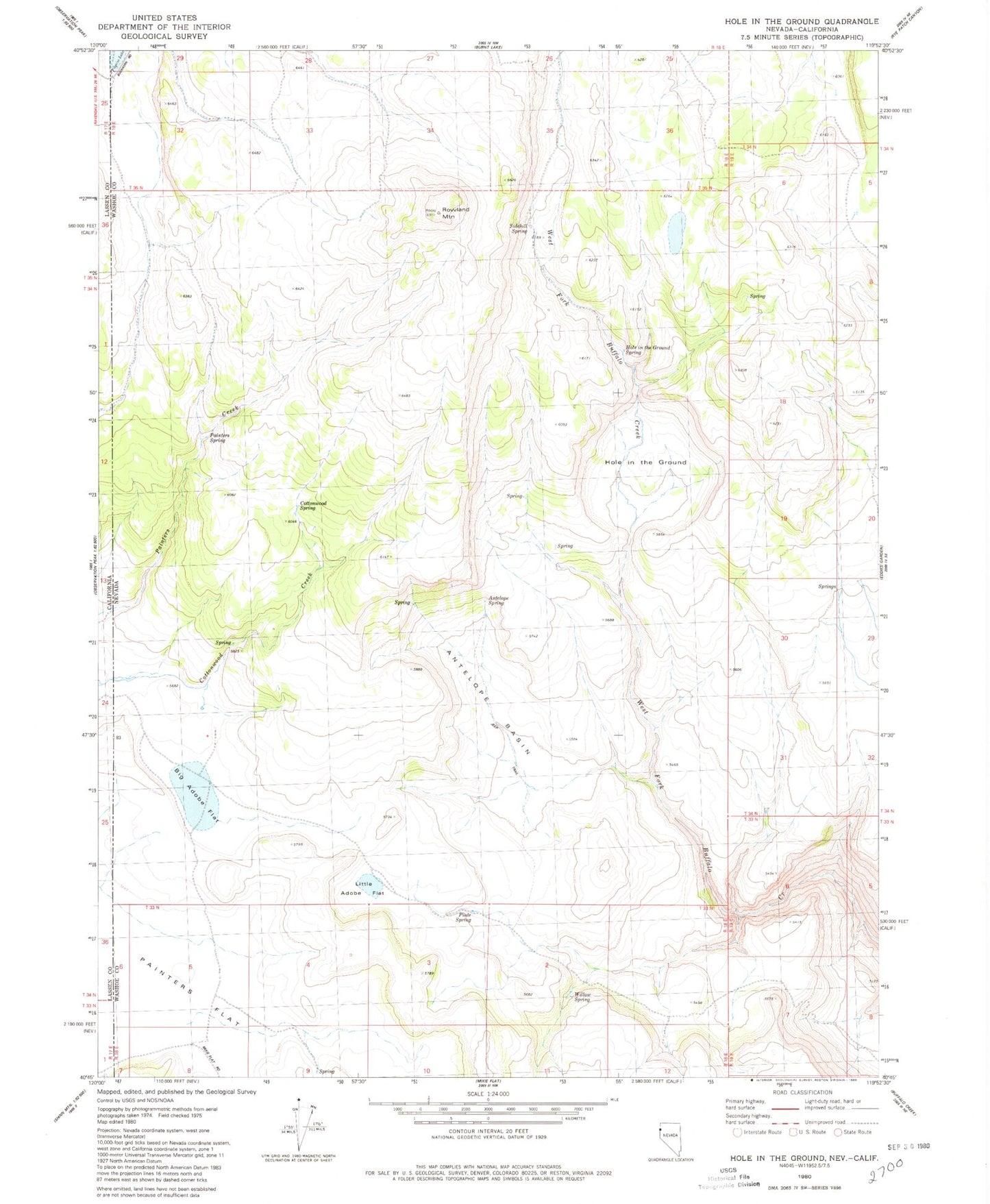
Classic USGS Hole In The Ground Nevada 7.5'x7.5' Topo Map
Couldn't load pickup availability
Historical USGS topographic quad map of Hole In The Ground in the state of Nevada. Map scale may vary for some years, but is generally around 1:24,000. Print size is approximately 24" x 27"
This quadrangle is in the following counties: Lassen, Washoe.
The map contains contour lines, roads, rivers, towns, and lakes. Printed on high-quality waterproof paper with UV fade-resistant inks, and shipped rolled.
Contains the following named places: Antelope Basin, Antelope Spring, Big Adobe Flat, Cottonwood Spring, Hole in the Ground, Hole in the Ground Spring, Little Adobe Flat, Madelin Mesa, Norton Place, Painter Ranch, Painters Spring, Piute Spring, Rattlesnake Spring, Rowland Mountain, Sidehill Spring, Willow Spring