MyTopo
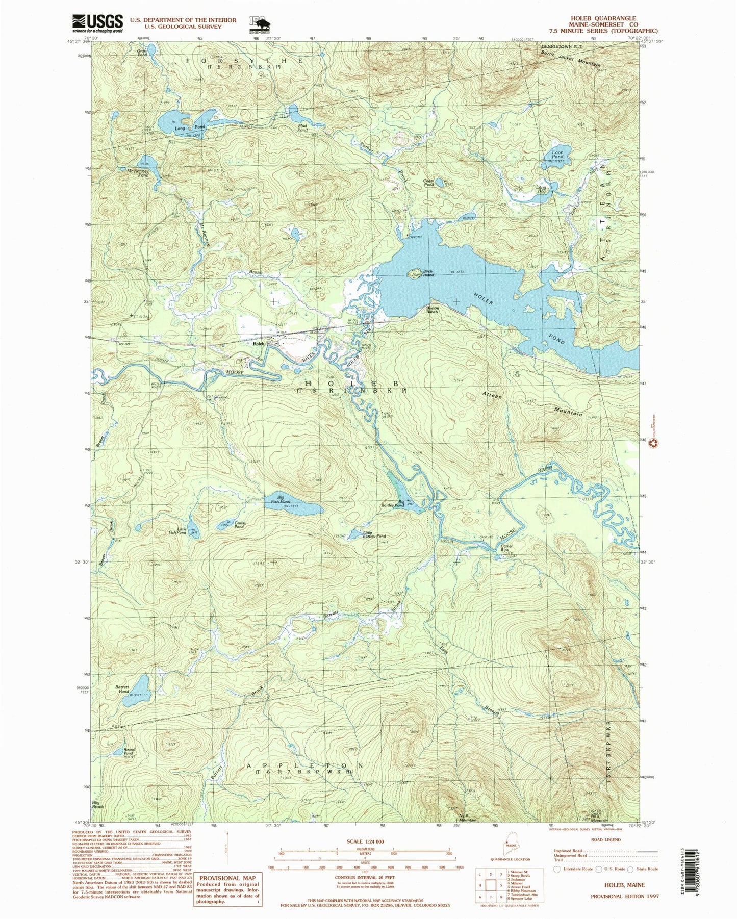
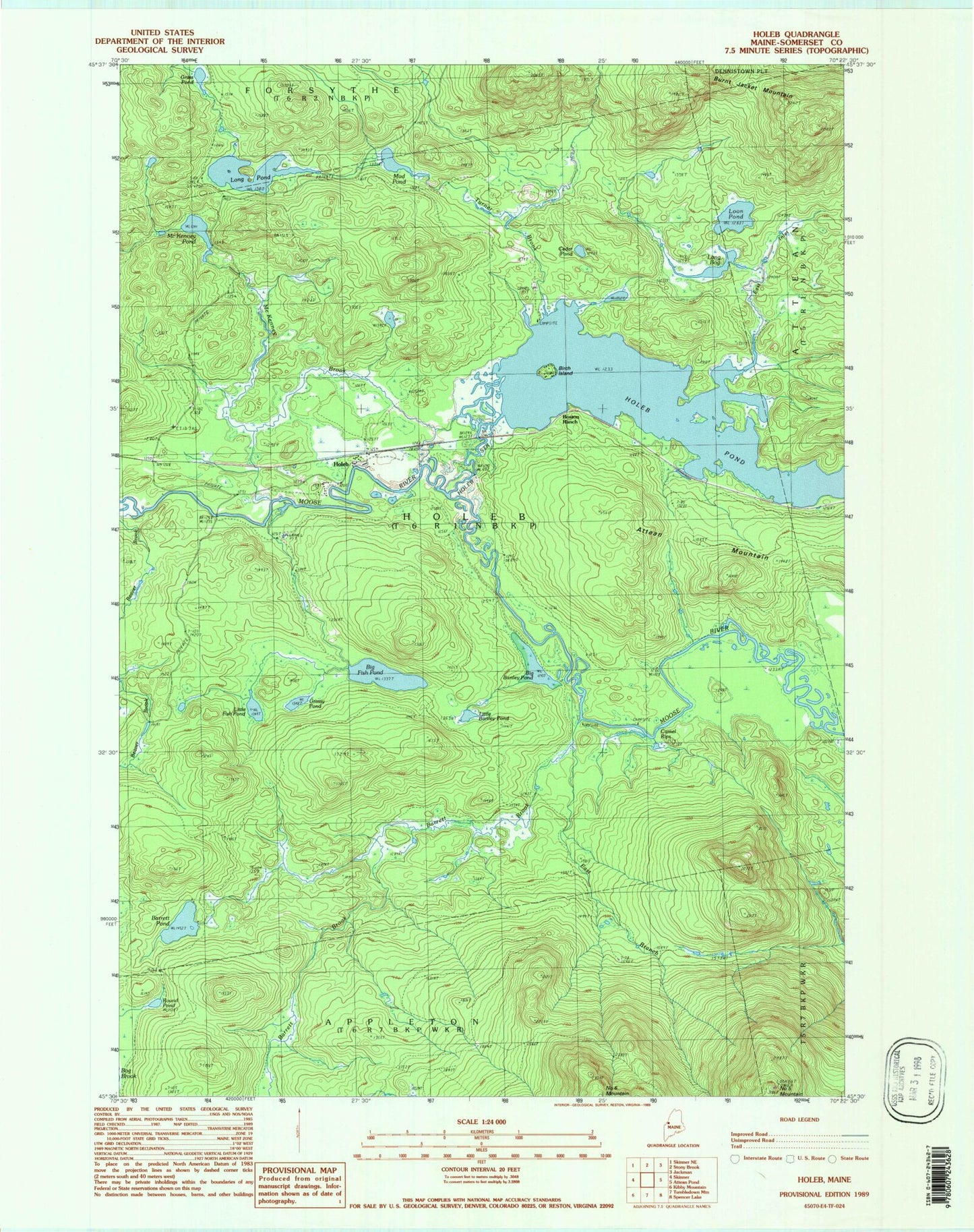
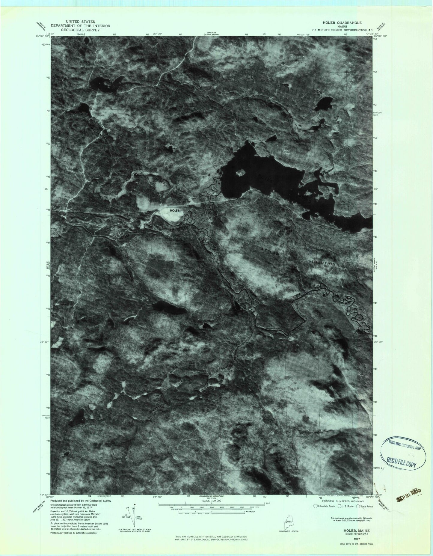
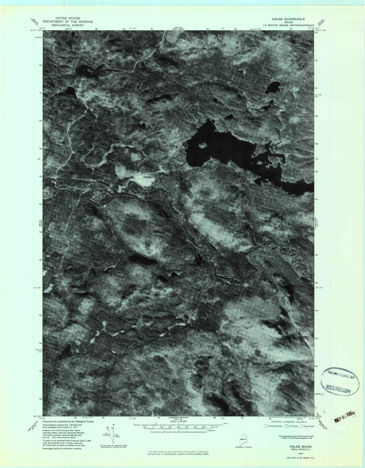
Classic USGS Holeb Maine 7.5'x7.5' Topo Map
Couldn't load pickup availability
Historical USGS topographic quad map of Holeb in the state of Maine. Typical map scale is 1:24,000, but may vary for certain years, if available. Print size: 24" x 27"
This quadrangle is in the following counties: Somerset.
The map contains contour lines, roads, rivers, towns, and lakes. Printed on high-quality waterproof paper with UV fade-resistant inks, and shipped rolled.
Contains the following named places: Barrett Brook, Barrett Pond, Beaver Brook, Big Bartley Pond, Birch Island, Boston Ranch, Cedar Pond, East Branch Barrett Brook, East Inlet, Big Fish Pond, Grass Pond, Grassy Pond, Holeb, Holeb Pond, Holeb Stream, Little Bartley Pond, Little Fish Pond, Long Bog, Long Pond, Loon Pond, McKenney Brook, McKenney Pond, Mud Pond, Number Five Mountain, Round Pond, Turner Brook, Camel Rips, Holeb Township, Barrett Brook, Barrett Pond, Beaver Brook, Big Bartley Pond, Birch Island, Boston Ranch, Cedar Pond, East Branch Barrett Brook, East Inlet, Big Fish Pond, Grass Pond, Grassy Pond, Holeb, Holeb Pond, Holeb Stream, Little Bartley Pond, Little Fish Pond, Long Bog, Long Pond, Loon Pond, McKenney Brook, McKenney Pond, Mud Pond, Number Five Mountain, Round Pond, Turner Brook, Camel Rips, Holeb Township