MyTopo
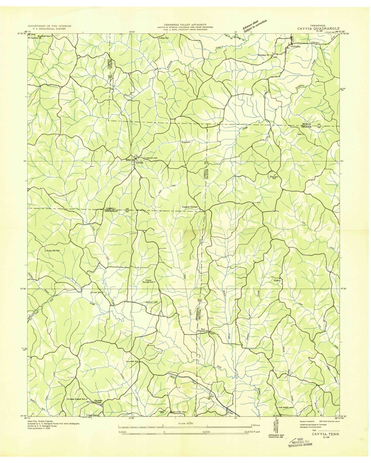
Classic USGS Holladay Tennessee 7.5'x7.5' Topo Map
Couldn't load pickup availability
Historical USGS topographic quad map of Holladay in the state of Tennessee. Typical map scale is 1:24,000, but may vary for certain years, if available. Print size: 24" x 27"
This quadrangle is in the following counties: Benton, Carroll, Decatur, Henderson.
The map contains contour lines, roads, rivers, towns, and lakes. Printed on high-quality waterproof paper with UV fade-resistant inks, and shipped rolled.
Contains the following named places: Stills Cemetery, West Fork Birdsong Creek, Williams Cemetery, Willow Creek, Baber Cemetery, Beasley Cemetery, Bradford Cemetery, Brinkley Cemetery, Cane Creek, Double Head, Dutchman Branch, Franks Chapel, Gibson Cemetery, Gulledge Cemetery, Hedge Cemetery, Holladay, Holladay Cemetery, Hydro School, Inman Ridge, Lester Cemetery, Little Cub Creek, Mill Branch, Morgan Cemetery, Mount Comfort Cemetery, New Pleasant Ridge Church, New Prospect Missionary Baptist Church, Park Cemetery, Pecan Tree Picnic and Camp Ground, Poplar Springs School, Ritter Cemetery, Round Top, Sand Hill, Catfish Haven Reservoir, Catfish Haven Dam Number One, Shiloh, Smith Cemetery, Christian Chapel, Maple Creek Lake, Cub Creek Dam, Colwick (historical), Henson Creek, Hydro, Christian Chapel, North Fork Cub Creek, Poplar Springs, South Fork Cub Creek, Sulphur Creek, Fairview School (historical), Holladay Church (historical), Holladay Elementary School, Unity School (historical), Christian Chapel School (historical), Poplar Springs School (historical), Rocky Hill School (historical), Tolleys Store (historical), Bradford School (historical), Shiloh Cemetery, County Corner, Shiloh Baptist Church, Maple Creek Lookout Tower, Holladay Post Office, Commissioner District 9, Hydro Volunteer Fire Department Station 5, Henderson County Fire Department Station 8, Holladay Census Designated Place


