MyTopo
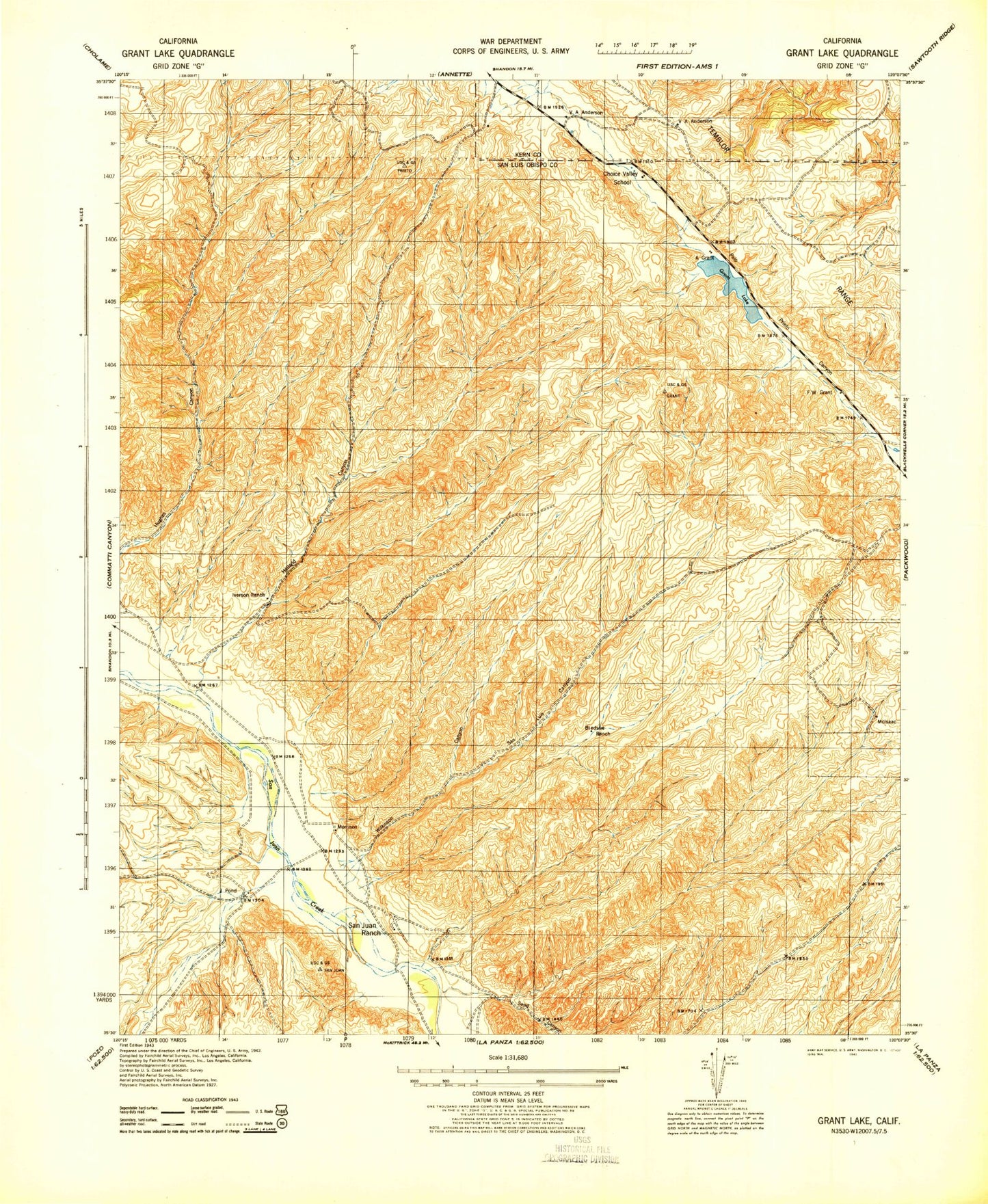
Classic USGS Holland Canyon California 7.5'x7.5' Topo Map
Couldn't load pickup availability
Historical USGS topographic quad map of Holland Canyon in the state of California. Map scale may vary for some years, but is generally around 1:24,000. Print size is approximately 24" x 27"
This quadrangle is in the following counties: Kern, San Luis Obispo.
The map contains contour lines, roads, rivers, towns, and lakes. Printed on high-quality waterproof paper with UV fade-resistant inks, and shipped rolled.
Contains the following named places: Bellyache Spring, Black Spring, Bledsoe Ranch, Choice Valley, Choice Valley School, Grant Lake, Holland Canyon, Hughes Spring, Iverson Ranch, Long Canyon, Pear Tree Spring, Red Hills, San Juan Ranch, San Luis Canyon, Sandy Canyon, Still Canyon, Tunnel Spring, Wilkinson Canyon, Williamson Spring