MyTopo
Classic USGS Holland Lake Montana 7.5'x7.5' Topo Map
Couldn't load pickup availability
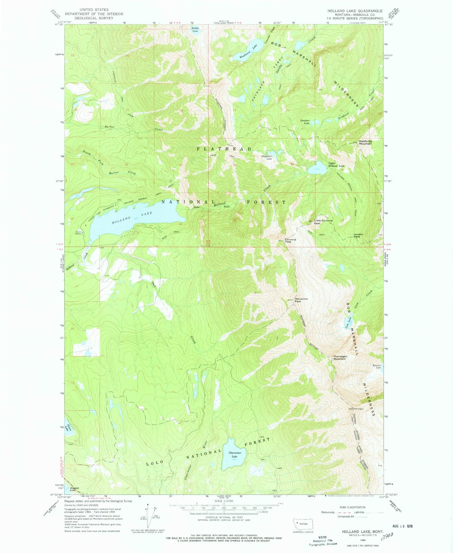
Historical USGS topographic quad map of Holland Lake in the state of Montana. Typical map scale is 1:24,000, but may vary for certain years, if available. Print size: 24" x 27"
This quadrangle is in the following counties: Missoula.
The map contains contour lines, roads, rivers, towns, and lakes. Printed on high-quality waterproof paper with UV fade-resistant inks, and shipped rolled.
Contains the following named places: Holland Lake, Carmine Peak, Clearwater Lake, Gordon Pass, Lick Lake, Little Carmine Peak, Necklace Lakes, Owl Creek, Pendent Lake, Ptarmigan Mountain, Sapphire Lake, Upper Holland Lake, Waldbillig Mountain, Wolverine Peak, Woodward Lake, Rubble Lake, Holland Falls National Recreation Trail, Owl Creek Packer Camp, Holland Lake Campground, 19N16W03ACAB01 Well, 19N16W03ABCD01 Well