MyTopo
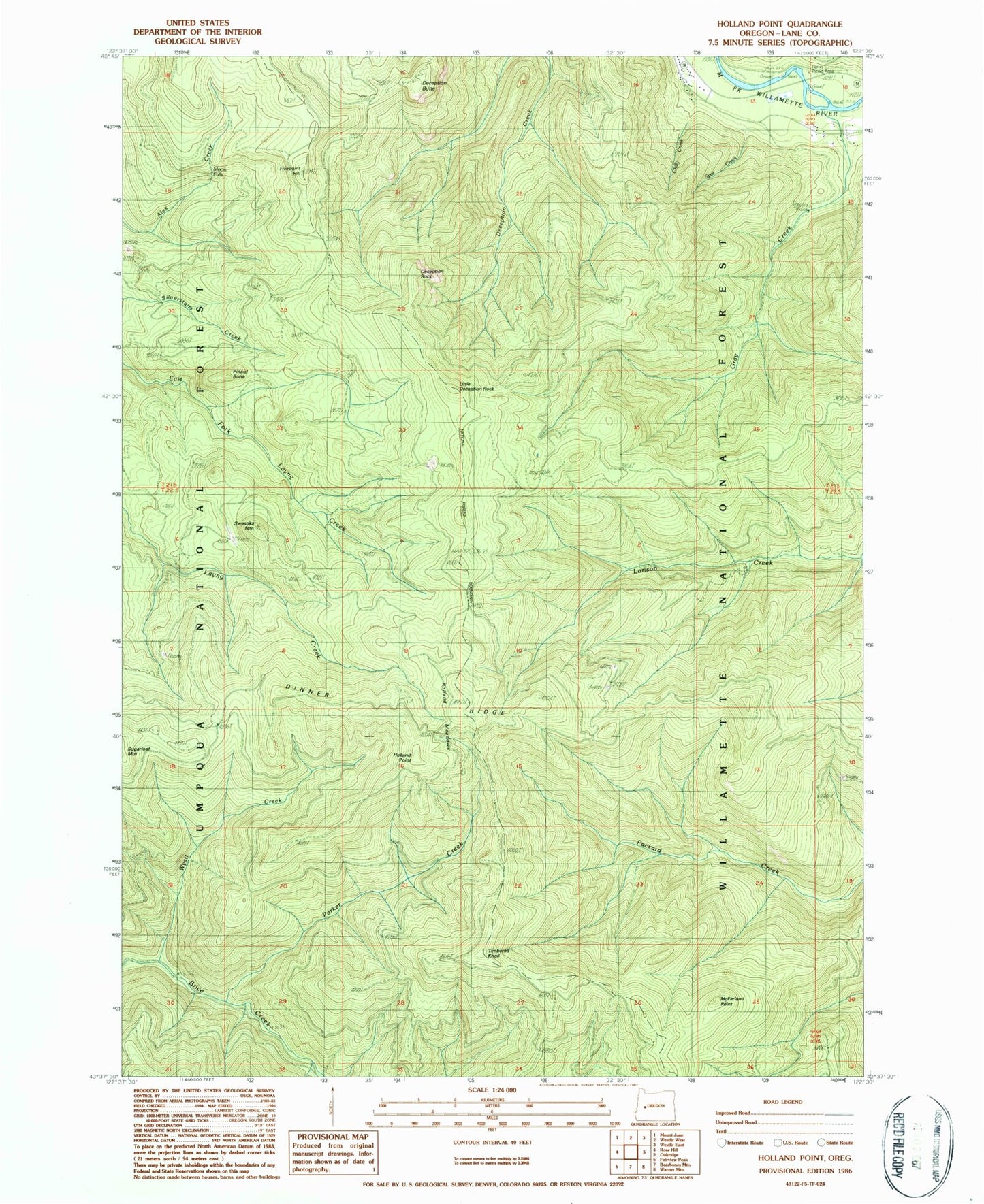
Classic USGS Holland Point Oregon 7.5'x7.5' Topo Map
Couldn't load pickup availability
Historical USGS topographic quad map of Holland Point in the state of Oregon. Map scale may vary for some years, but is generally around 1:24,000. Print size is approximately 24" x 27"
This quadrangle is in the following counties: Lane.
The map contains contour lines, roads, rivers, towns, and lakes. Printed on high-quality waterproof paper with UV fade-resistant inks, and shipped rolled.
Contains the following named places: Barnard Bridge, Chilly Creek, Deception Butte, Deception Rock, Dinner Ridge, Dinner Ridge Way, Errin Campground, Ferrin Recreation Site, Fivepoint Hill, Gray Creek, Hill Post Office, Holland Meadows, Holland Meadows Trail, Holland Point, Larison Creek Trail, Little Deception Rock, Lower Parker Falls, McFarland Point, Moonfalls, Packard Creek Trail, Parker Creek, Pinard Butte, Pinard Falls, Spot Creek, Swastika Mountain, Swastika Mountain Trail, Timbered Knoll, Upper Parker Falls, Willamette Divide Trail, Wyatt Creek


