MyTopo
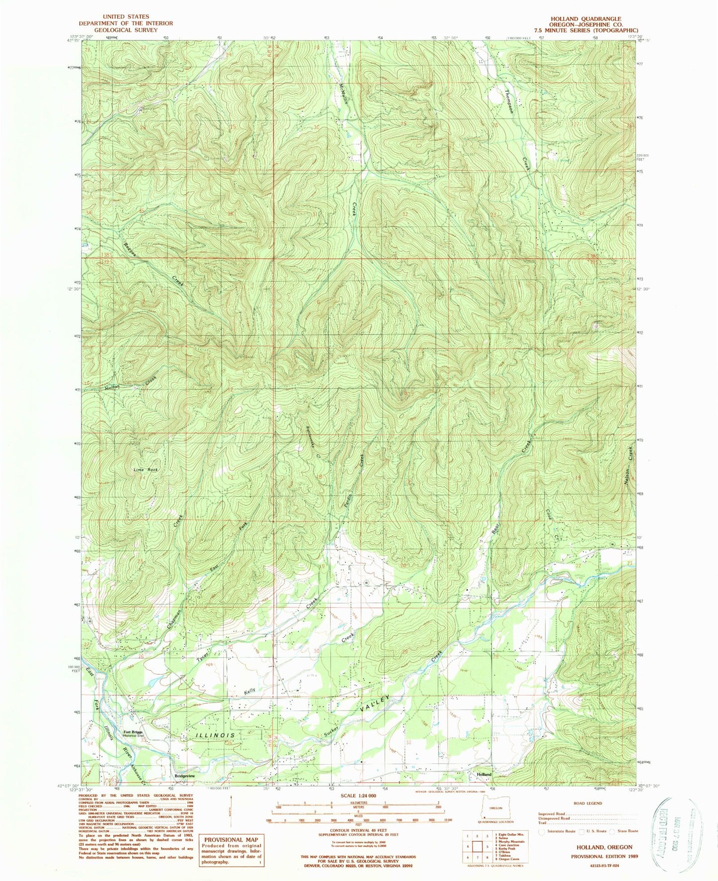
Classic USGS Holland Oregon 7.5'x7.5' Topo Map
Couldn't load pickup availability
Historical USGS topographic quad map of Holland in the state of Oregon. Map scale may vary for some years, but is generally around 1:24,000. Print size is approximately 24" x 27"
This quadrangle is in the following counties: Josephine.
The map contains contour lines, roads, rivers, towns, and lakes. Printed on high-quality waterproof paper with UV fade-resistant inks, and shipped rolled.
Contains the following named places: Aloysius Post Office, Althouse, Althouse Creek, Althouse Post Office, B Bar Ranch Airport, Bear Creek, Bridgeview, Brown Slough, Chapman Creek, Cove Creek, East Fork Chapman Creek, Fort Briggs, Green Gulch, Haven Creek, Holland, Holland Post Office, Horse Spring, Kelly Creek, Lime Rock, Little Bear Creek, Mulvaney Gulch, Payne Slough, Perdin Creek, Peterson Gulch, Rattlesnake Creek, Ryan Creek, Sawyer Slough, Sucker Creek, Tycer Creek, Villair Ranch