MyTopo
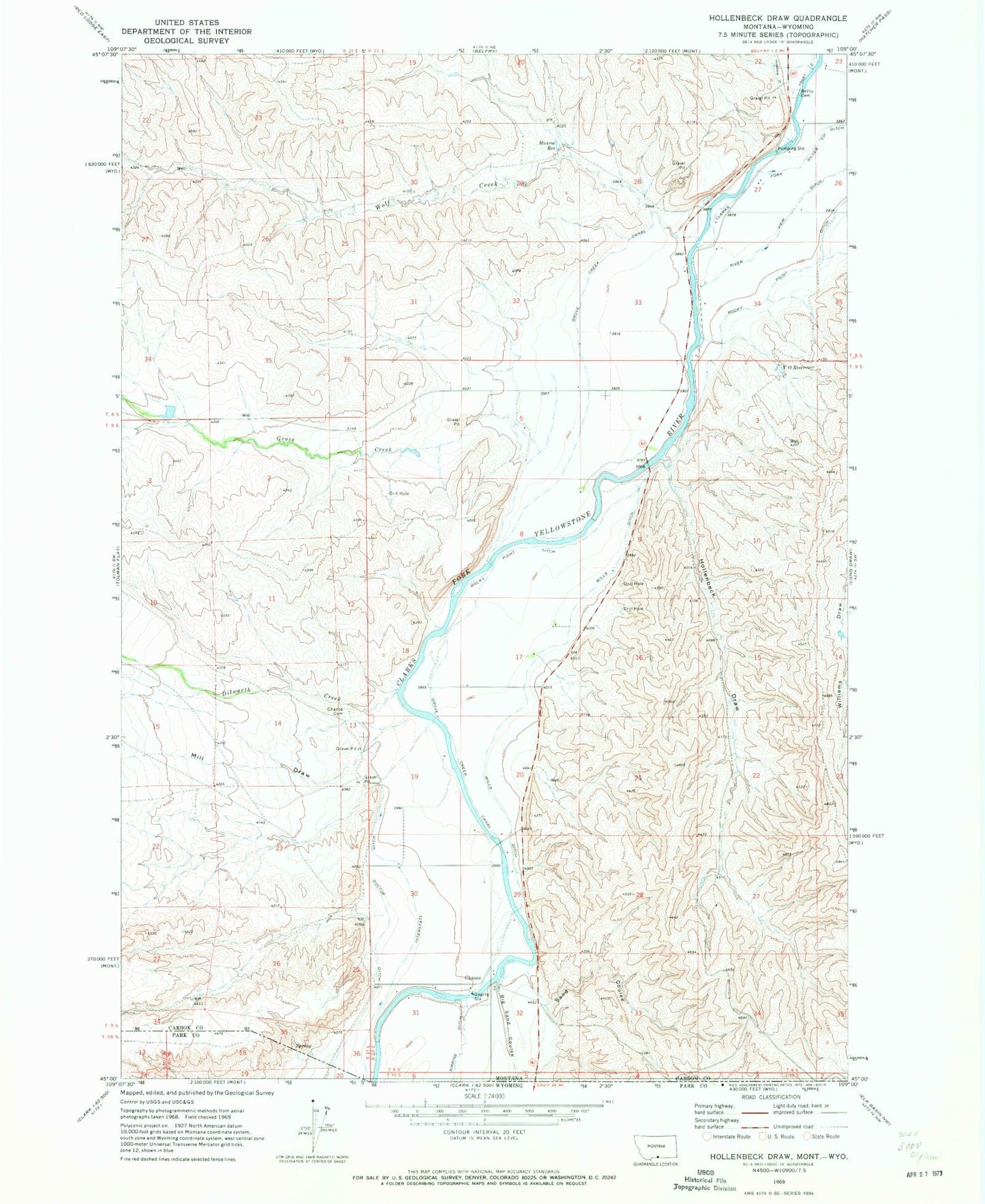
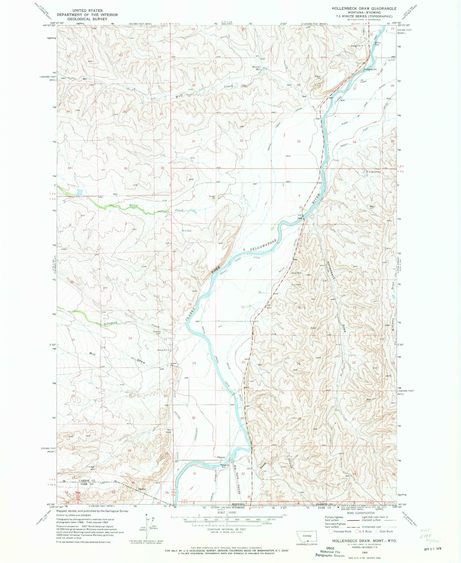
Classic USGS Hollenbeck Draw Montana 7.5'x7.5' Topo Map
Couldn't load pickup availability
Historical USGS topographic quad map of Hollenbeck Draw in the state of Montana. Map scale may vary for some years, but is generally around 1:24,000. Print size is approximately 24" x 27"
This quadrangle is in the following counties: Carbon, Park.
The map contains contour lines, roads, rivers, towns, and lakes. Printed on high-quality waterproof paper with UV fade-resistant inks, and shipped rolled.
Contains the following named places: 08S22E27ACCC01 Well, 08S22E28DDAD01 Well, 08S22E32DDAD01 Well, 08S22E34CCCB01 Well, 09S22E05DBBC01 Well, 09S22E17ACCD01 Well, 09S22E19ADBD01 Well, 09S22E20CDCD01 Well, 09S22E30BADD01 Well, 09S22E31ADAA01 Well, 59008, Belfry Cemetery, Big Reservoir Dam, Big Sand Coulee, Bridger Bend Fishing Access Site, Chance, Chance Mountain View Cemetery, Chance Post Office, Chance School, Clarks Fork and Silver Tip Ditch, Dilworth Creek, Doctor Ditch, Grove Creek, Grove Creek Canal, Hollenbeck Draw, Interstate Ditch, Limberger Dam, Mill Draw, Monroe Reservoir, Riverview Post Office, Riverview School, Rocky Point Ditch, Sand Coulee, Sirrine Ditch, V O Reservoir, Wills Ditch, Wills Ditch Bridge, Wolf Creek


