MyTopo
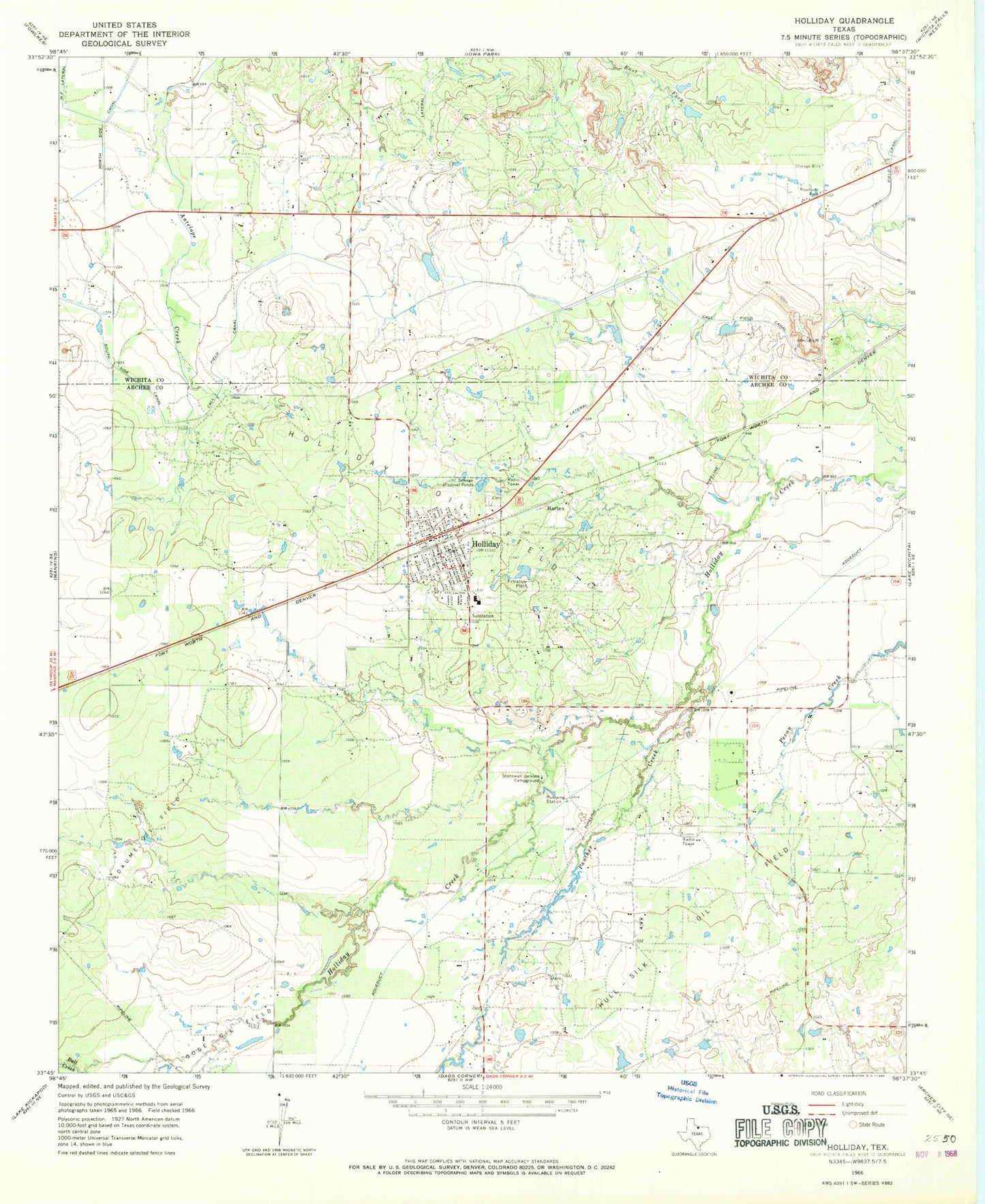
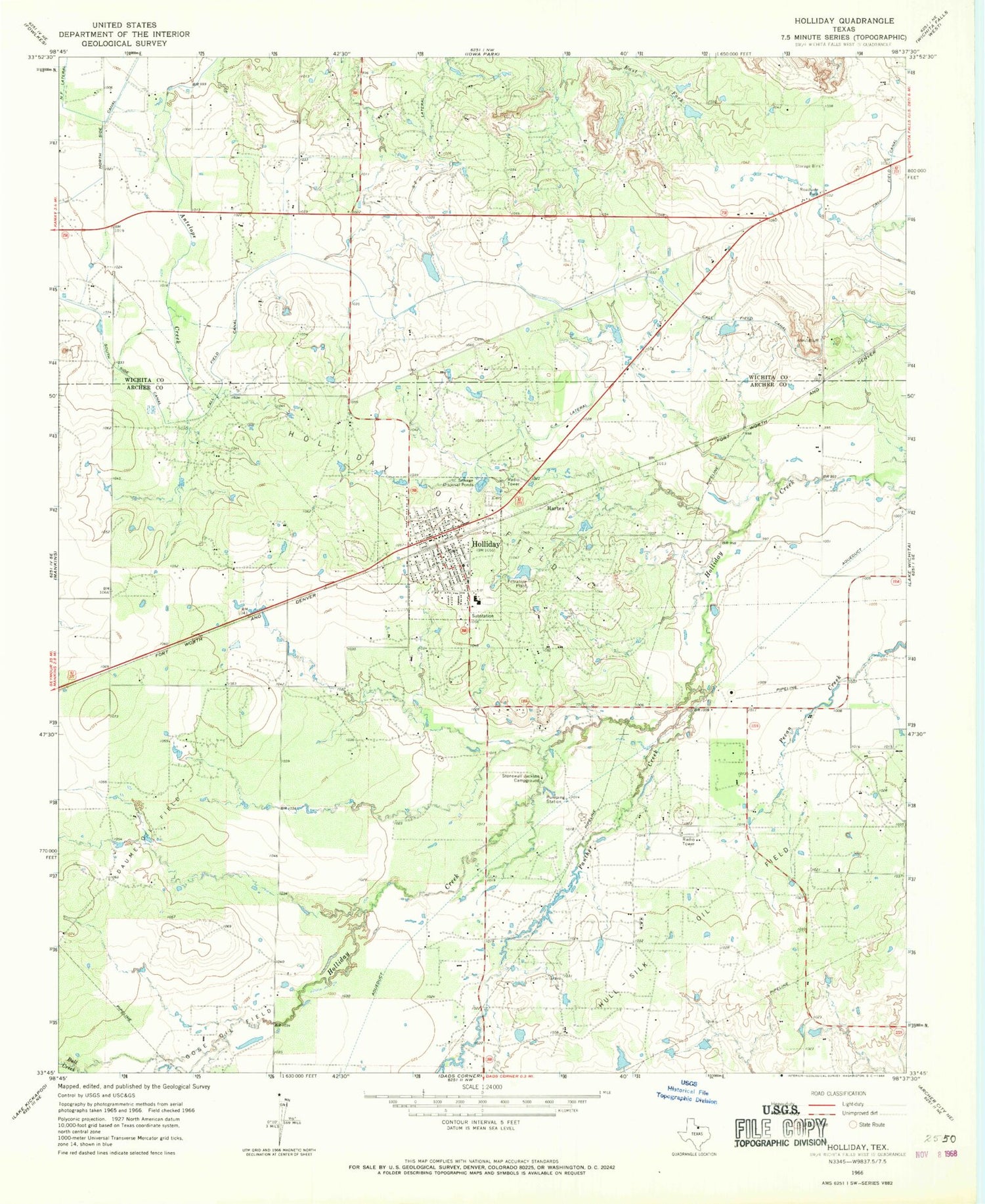
Classic USGS Holliday Texas 7.5'x7.5' Topo Map
Couldn't load pickup availability
Historical USGS topographic quad map of Holliday in the state of Texas. Map scale may vary for some years, but is generally around 1:24,000. Print size is approximately 24" x 27"
This quadrangle is in the following counties: Archer, Wichita.
The map contains contour lines, roads, rivers, towns, and lakes. Printed on high-quality waterproof paper with UV fade-resistant inks, and shipped rolled.
Contains the following named places: Bull Creek, CA Lateral, Cactus Hill Airport, City of Holliday, Daume Oil Field, Gose Oil Field, Hartex, Holliday, Holliday City Hall, Holliday Elementary School, Holliday High School, Holliday Middle School, Holliday Oil Field, Holliday Police Department, Holliday Post Office, Holliday Volunteer Fire and Rescue Department, Hull-Silk Oil Field, Lake Kickapoo Volunteer Fire Department, Lucky G Airport, Netherly Lake, Netherly Lake Dam, Panther Creek, Stonewall Jackson Campground, SZ Lateral, Wichita West Volunteer Fire Department