MyTopo
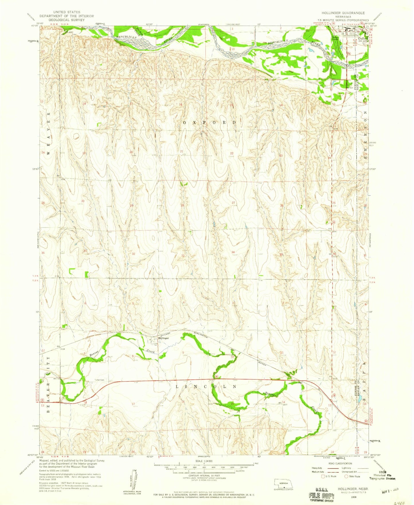
Classic USGS Hollinger Nebraska 7.5'x7.5' Topo Map
Couldn't load pickup availability
Historical USGS topographic quad map of Hollinger in the state of Nebraska. Map scale may vary for some years, but is generally around 1:24,000. Print size is approximately 24" x 27"
This quadrangle is in the following counties: Furnas, Harlan.
The map contains contour lines, roads, rivers, towns, and lakes. Printed on high-quality waterproof paper with UV fade-resistant inks, and shipped rolled.
Contains the following named places: Ag Valley Cooperative Elevator, Cadwalder Dam, Cadwalder Reservoir, George R Mitchell RV Park, Hollinger, Hollinger Post Office, Oxford, Oxford Election Precinct, Oxford Post Office, Oxford Volunteer Fire and Rescue Department, Southern Valley Junior/Senior High School, Sturtevant Dam, Sturtevant Reservoir, Township of Lincoln, Township of Oxford, Turkey Creek, Turner Cemetery