MyTopo
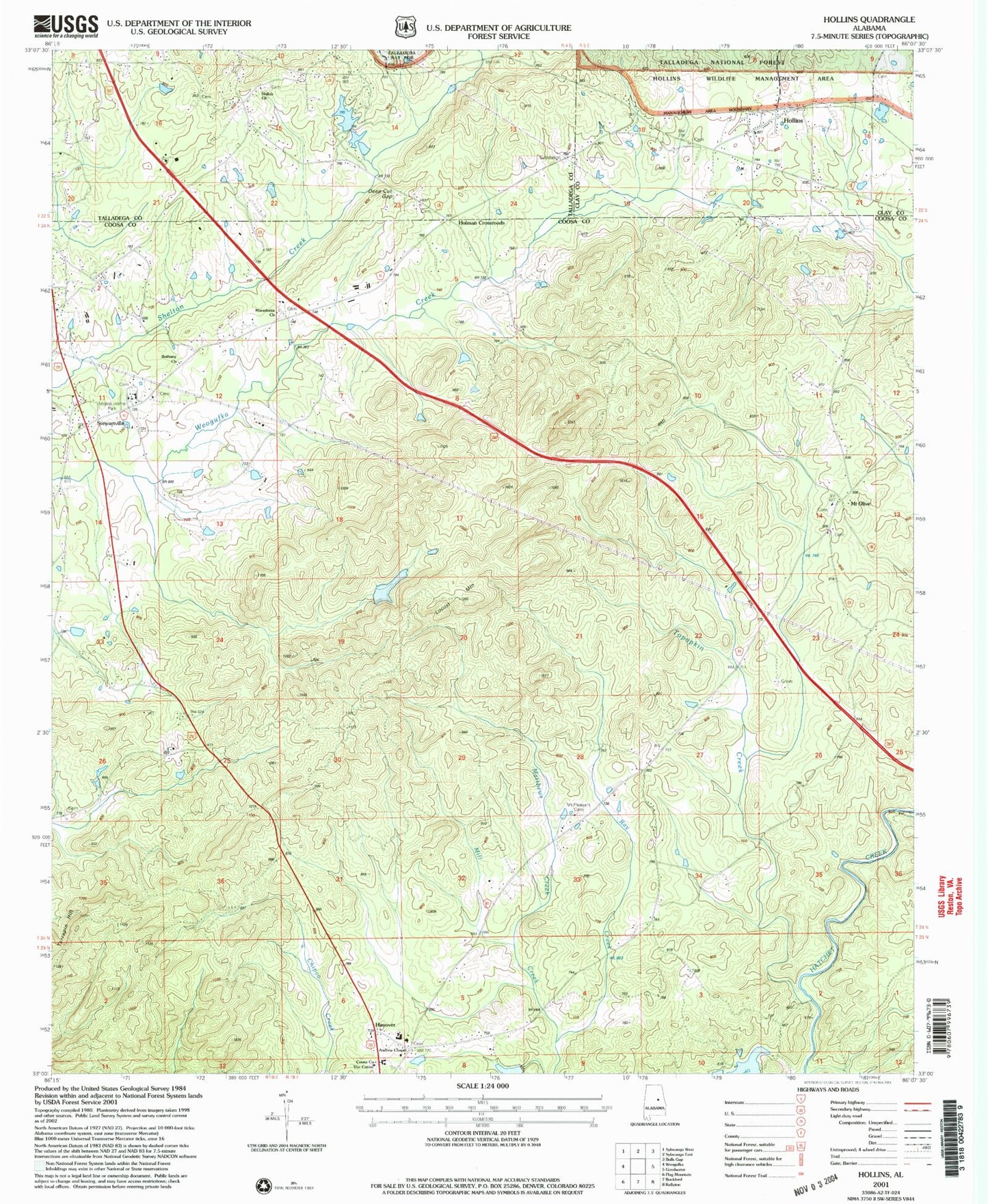
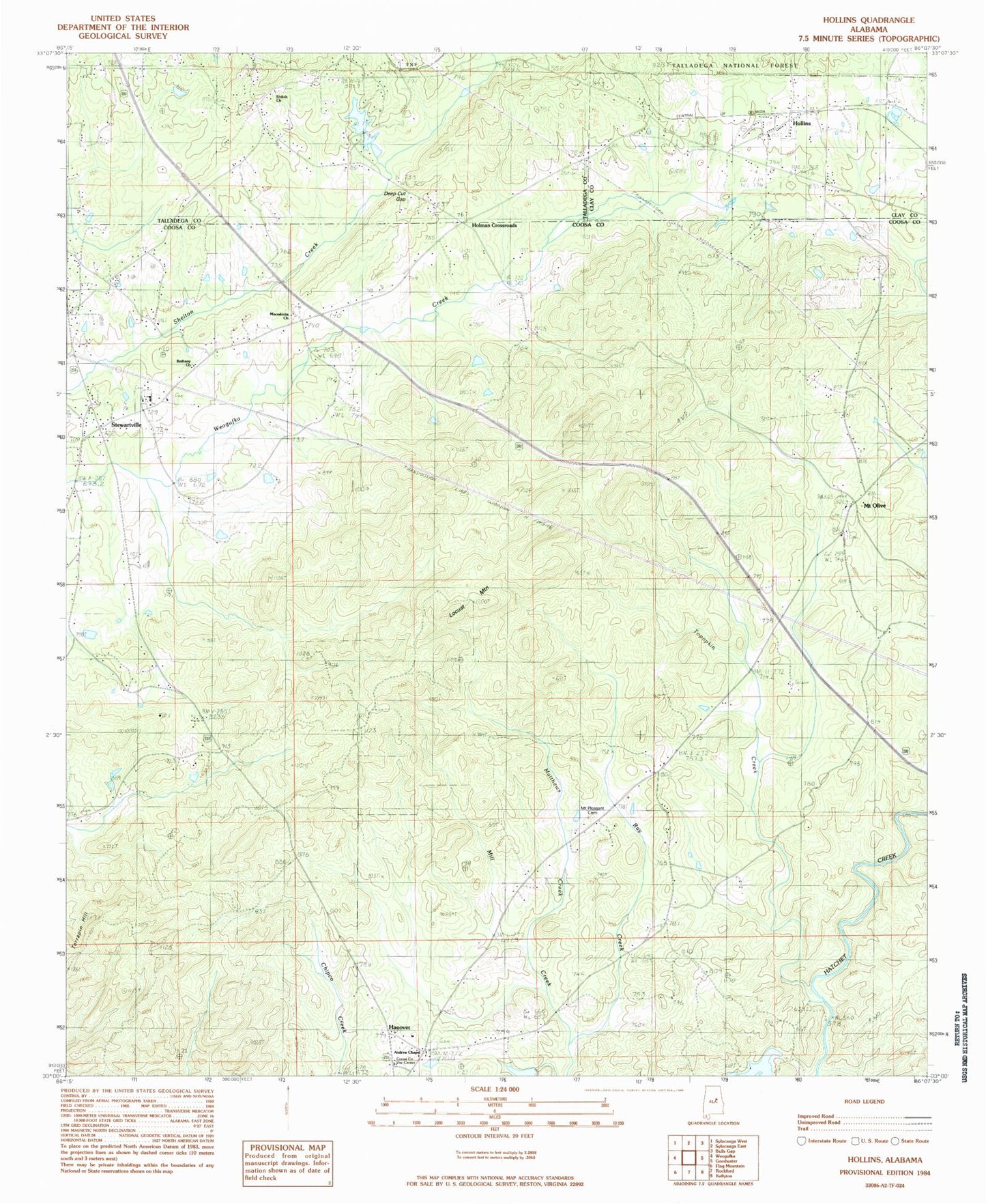
Classic USGS Hollins Alabama 7.5'x7.5' Topo Map
Couldn't load pickup availability
Historical USGS topographic quad map of Hollins in the state of Alabama. Map scale may vary for some years, but is generally around 1:24,000. Print size is approximately 24" x 27"
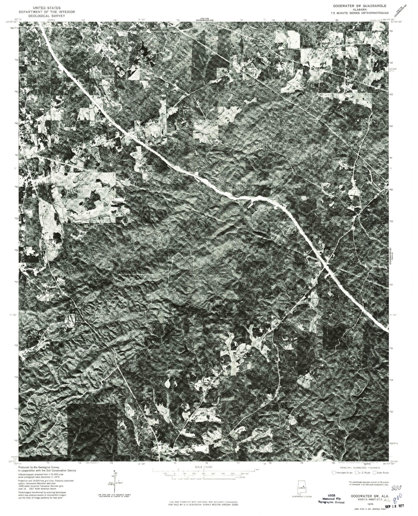
This quadrangle is in the following counties: Clay, Coosa, Talladega.
The map contains contour lines, roads, rivers, towns, and lakes. Printed on high-quality waterproof paper with UV fade-resistant inks, and shipped rolled.
Contains the following named places: Andrews Chapel Methodist Church, Bethany Methodist Church, Brown Dam, C W Gaston Dam, Calvary Church, Central High School, Coosa County Vocational Center, Darby Cemetery, Deep Cut Gap, Hanover, Hanover Cemetery, Hanover Census Designated Place, Hollins, Hollins Baptist Church, Hollins Census Designated Place, Hollins Church of Christ, Hollins Fire and Rescue, Hollins Spring Church, Hollins Springs Baptist Church, Hollins Springs Cemetery, Holman Crossroads, Kelly Cemetery, Lake Joy, Locust Mountain, Macedonia Baptist Church, Macedonia Cemetery, Matthews Creek, Mount Olive, Mount Olive Baptist Church, Mount Olive Cemetery, Mount Olive Census Designated Place, Mount Olive Church, Mount Pleasant Cemetery, Old Bethany Cemetery, Overbrook, Ray Creek, Shiloh Church, Stewartville, Stewartville Cemetery, Stewartville Church of God, Tanyard Hill, Tanyard Hill Gap, Terrapin Hill, Topopkin Creek, Trammells School, Truth Church, Union Baptist Church, Union Cemetery, Valley Grove Church, Warm Springs, Wiches Spring