MyTopo
Classic USGS Hollis Crossroads Alabama 7.5'x7.5' Topo Map
Couldn't load pickup availability
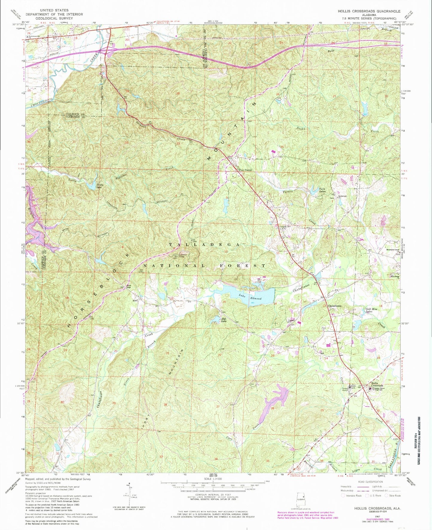
Historical USGS topographic quad map of Hollis Crossroads in the state of Alabama. Typical map scale is 1:24,000, but may vary for certain years, if available. Print size: 24" x 27"
This quadrangle is in the following counties: Calhoun, Cleburne.
The map contains contour lines, roads, rivers, towns, and lakes. Printed on high-quality waterproof paper with UV fade-resistant inks, and shipped rolled.
Contains the following named places: Lighthouse Church, Abel, Abel Gap, Abel Lake, Bethlehem Church, Camp Hollis, Canaan Church, Carr Creek, Chulafinnee, DeArmanville First Baptist Church, Lake Edmond, Five Points, Gold Mine Lakes, Hollis Crossroads, Ivory Mountain, Jackson Creek, Liberty Hill Church, Lockchelooge Creek, Macedonia Church, Nixon Branch, Trudy Lake, Turner Creek, Twin Lakes, Boy Scout Lake, Boy Scout Dam, Huston Dam, Abel Dam, Stricklins Lake, Stricklin Dam, Creighton Lake Number 1, Creighton Number 1 Dam, Creighton Number 2 Dam, Creighton Number 2 Lake, Edmonds Lake Dam, Carter Dam, Carters Lake, White Lake Number 2, White Number 2 Dam, White Number 1 Dam, White Lake Number 1, Choccolocco Number 11 Lake, Allen and Phillips Dam, Robinson Dam, Robinson Lake, Esterlings Lake, Esterling and Burns Dam, Church of God, Abel Horseblock Lookout Tower, Camp Sequoyah, Christian Church, Chulafinnee Church, Chulafinnee School (historical), Fairview Church (historical), Five Points Church, Harris School (historical), Liberty Hill School (historical), Abel Bethsadia Church, Pleasant Grove Junior High School, Morgan Lake, Bethlehem Primitive Baptist Church Cemetery, Hollis Crossroads Census Designated Place, Hollis Crossroads Volunteer Fire Department, Lighthouse Church, Abel, Abel Gap, Abel Lake, Bethlehem Church, Camp Hollis, Canaan Church, Carr Creek, Chulafinnee, DeArmanville First Baptist Church, Lake Edmond, Five Points, Gold Mine Lakes, Hollis Crossroads, Ivory Mountain, Jackson Creek, Liberty Hill Church, Lockchelooge Creek, Macedonia Church, Nixon Branch, Trudy Lake, Turner Creek, Twin Lakes, Boy Scout Lake, Boy Scout Dam, Huston Dam, Abel Dam, Stricklins Lake, Stricklin Dam, Creighton Lake Number 1, Creighton Number 1 Dam, Creighton Number 2 Dam, Creighton Number 2 Lake, Edmonds Lake Dam, Carter Dam, Carters Lake, White Lake Number 2, White Number 2 Dam, White Number 1 Dam, White Lake Number 1, Choccolocco Number 11 Lake, Allen and Phillips Dam, Robinson Dam, Robinson Lake, Esterlings Lake, Esterling and Burns Dam, Church of God, Abel Horseblock Lookout Tower, Camp Sequoyah, Christian Church, Chulafinnee Church, Chulafinnee School (historical), Fairview Church (historical), Five Points Church, Harris School (historical), Liberty Hill School (historical), Abel Bethsadia Church, Pleasant Grove Junior High School, Morgan Lake, Bethlehem Primitive Baptist Church Cemetery, Hollis Crossroads Census Designated Place, Hollis Crossroads Volunteer Fire Department


