MyTopo
Classic USGS Holly Springs Arkansas 7.5'x7.5' Topo Map
Couldn't load pickup availability
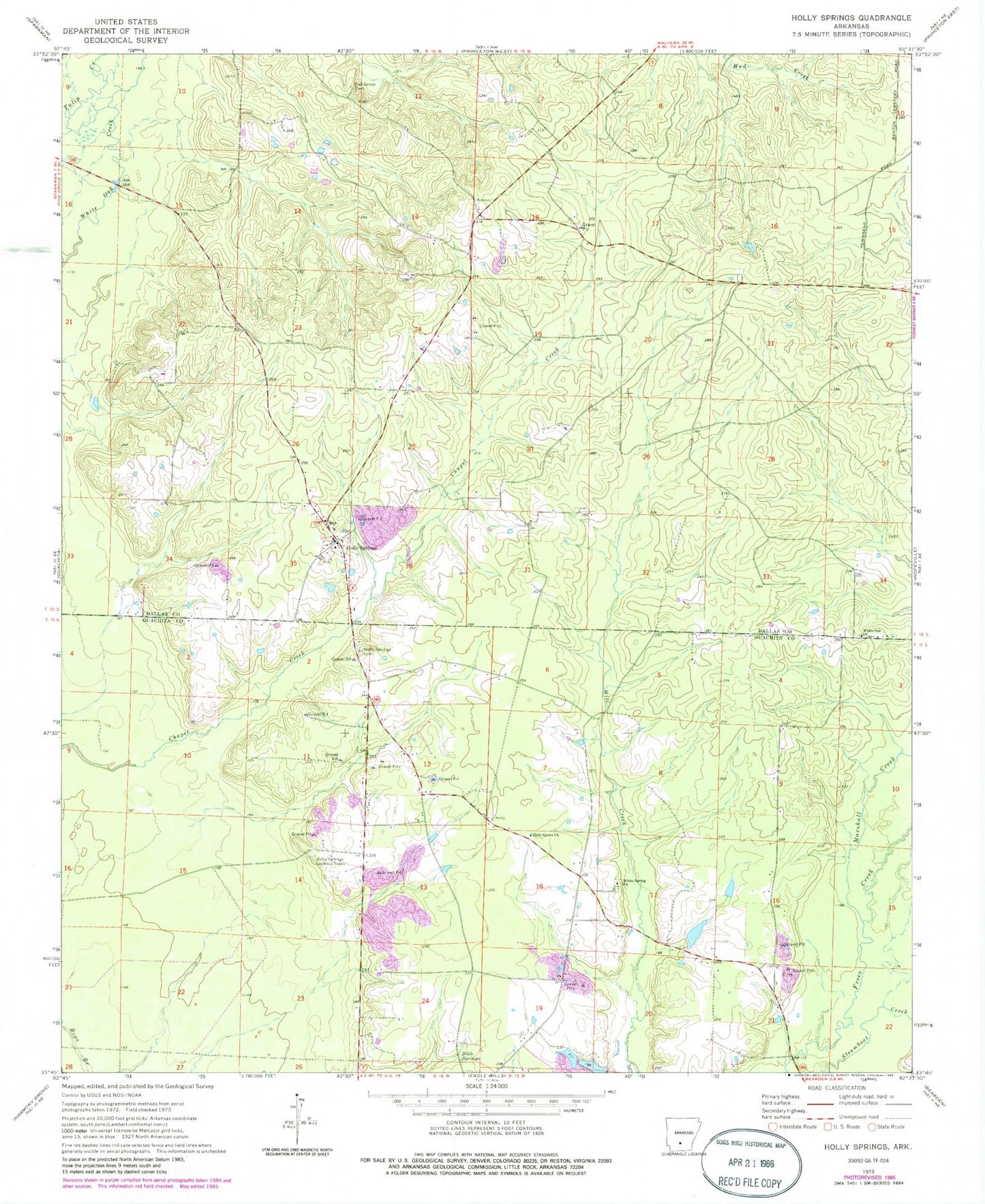
Historical USGS topographic quad map of Holly Springs in the state of Arkansas. Map scale may vary for some years, but is generally around 1:24,000. Print size is approximately 24" x 27"
This quadrangle is in the following counties: Dallas, Ouachita.
The map contains contour lines, roads, rivers, towns, and lakes. Printed on high-quality waterproof paper with UV fade-resistant inks, and shipped rolled.
Contains the following named places: Garner Lake Number One, Garner Lake Number One Dam, Holly Grove Church, Holly Spring Lookout Tower, Holly Springs, Holly Springs Cemetery, Holly Springs Fire Station, Marshall Creek, Oak Grove Cemetery, Scale Springs, Township of Freeo, Township of Holly Springs, White Oak Church, White Spring Church, ZIP Code: 71720