MyTopo
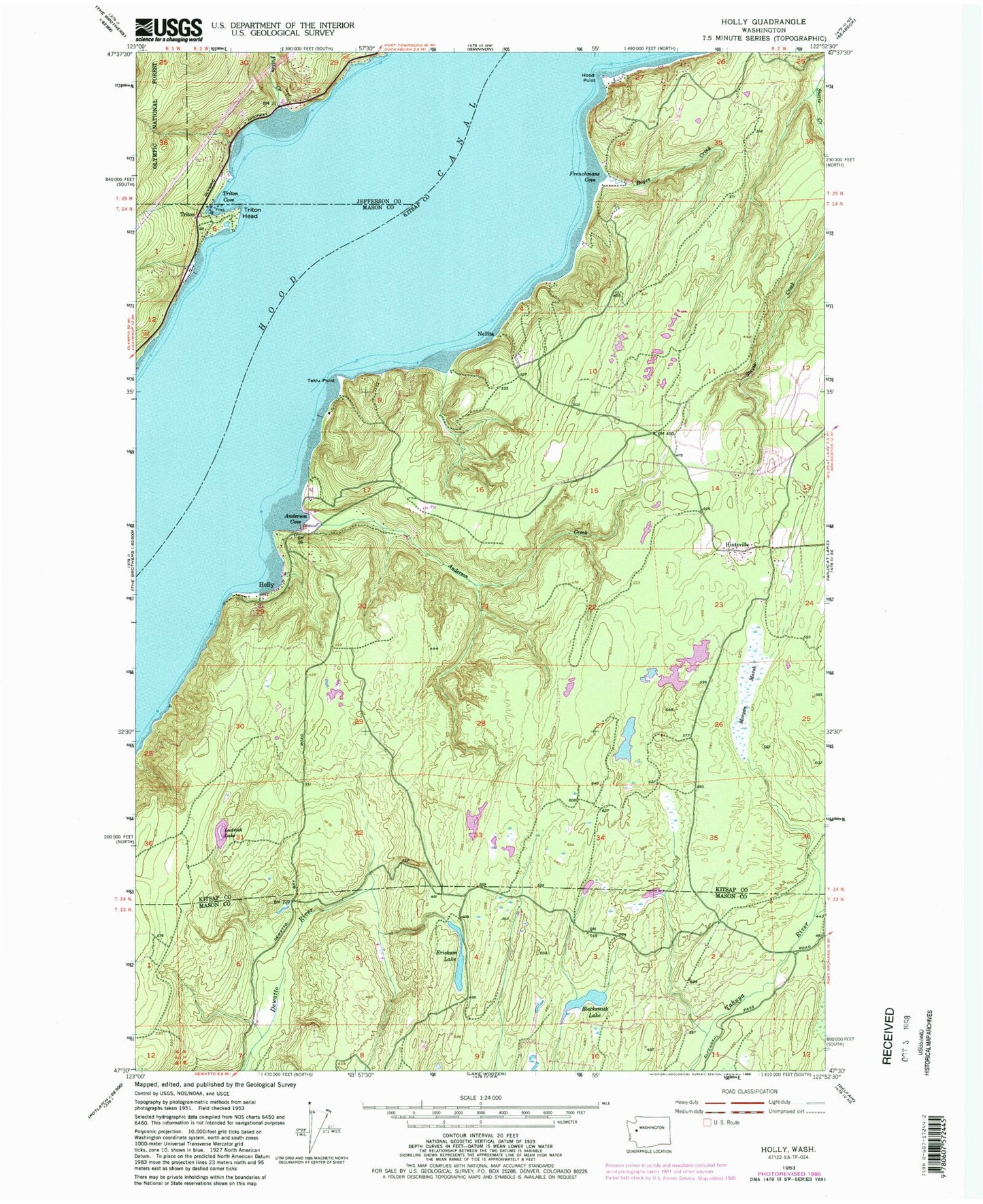
Classic USGS Holly Washington 7.5'x7.5' Topo Map
Couldn't load pickup availability
Historical USGS topographic quad map of Holly in the state of Washington. Typical map scale is 1:24,000, but may vary for certain years, if available. Print size: 24" x 27"
This quadrangle is in the following counties: Jefferson, Kitsap, Mason.
The map contains contour lines, roads, rivers, towns, and lakes. Printed on high-quality waterproof paper with UV fade-resistant inks, and shipped rolled.
Contains the following named places: Anderson Cove, Anderson Creek, Blacksmith Lake, Boyce Creek, Erickson Lake, Frenchmans Cove, Fulton Creek, Hintzville, Holly, Hood Point, Ludvick Lake, Morgan Marsh, Tekiu Point, Triton, Triton Cove, Triton Head, Nellita, Hintzville Beaver Ponds, Holly Pit, Central Kitsap Fire and Rescue Station 54 Hintzville