MyTopo
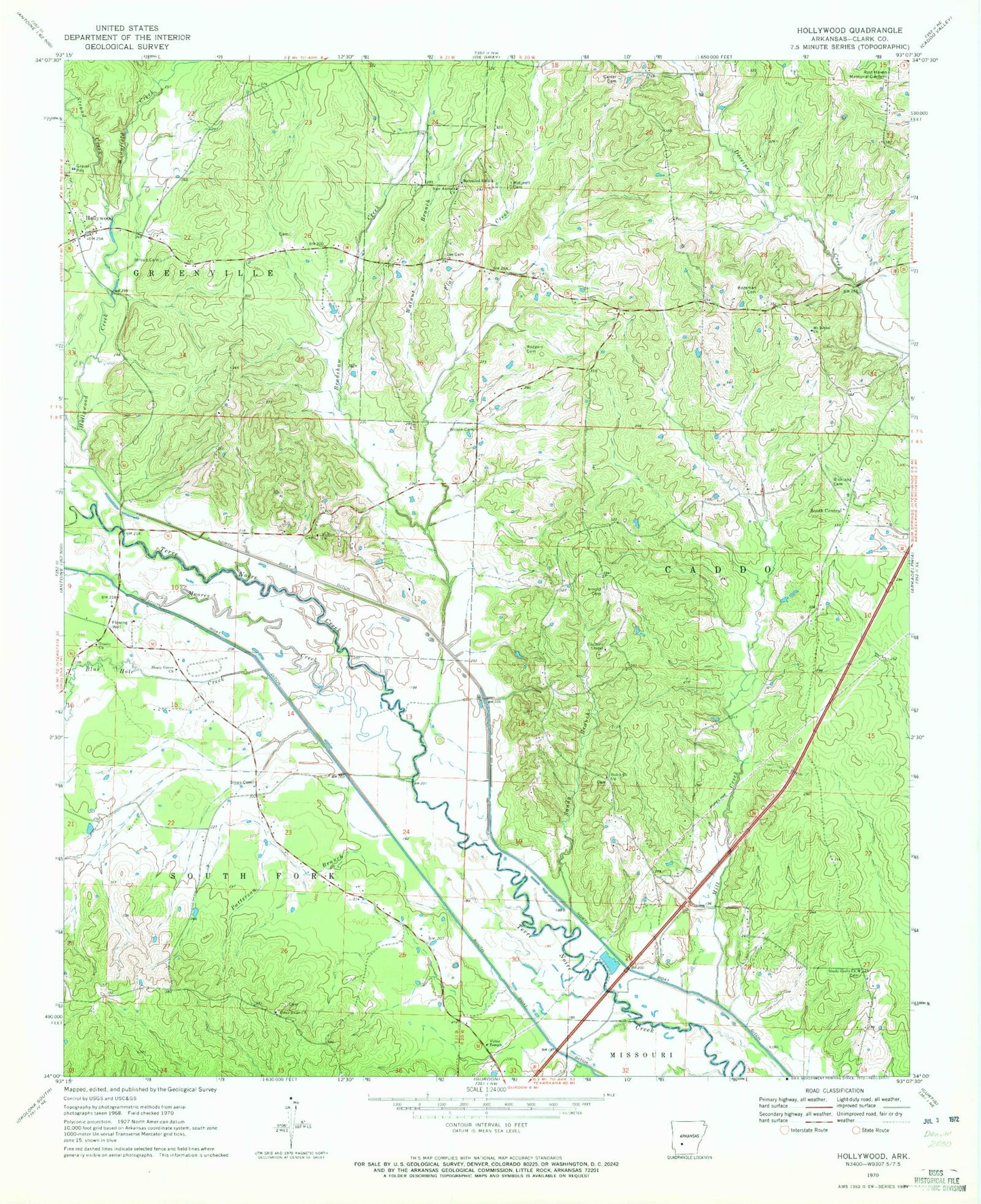
Classic USGS Hollywood Arkansas 7.5'x7.5' Topo Map
Couldn't load pickup availability
Historical USGS topographic quad map of Hollywood in the state of Arkansas. Map scale may vary for some years, but is generally around 1:24,000. Print size is approximately 24" x 27"
This quadrangle is in the following counties: Clark.
The map contains contour lines, roads, rivers, towns, and lakes. Printed on high-quality waterproof paper with UV fade-resistant inks, and shipped rolled.
Contains the following named places: Arnold Cemetery, Blue Hole Creek, Bozeman Cemetery, Bradshaw Creek, Carter Cemetery, Clark County, Clayborn Chapel, Flat Creek, Hollywood, Hollywood Baptist Church, Hollywood Creek, Hollywood Fire Station, Hollywood United Methodist Church, Lee Cemetery, Mill Creek, Mitchell Cemetery, Moores Creek, Mount Bethel Baptist Church, Mount Zion United Methodist Church, New Antioch Church, Patterson Branch, Piney Ridge Church, Rest Haven Memorial Gardens, Richland Cemetery, Richmond Hill Church, Rodgers Cemetery, Sandy Branch, Shady Grove Baptist Church, Shady Grove Church, Shiloh Baptist Church, Sloan Cemetery, South Boat Ditch, South Central, South Fork Terre Noire Creek, Stroud Cemetery, Stroud Creek, Township of Caddo, Township of Greenville, Trinity United Methodist Church, Victor Temple, Walnut Branch, Wilson Cemetery, Wingfield Creek