MyTopo
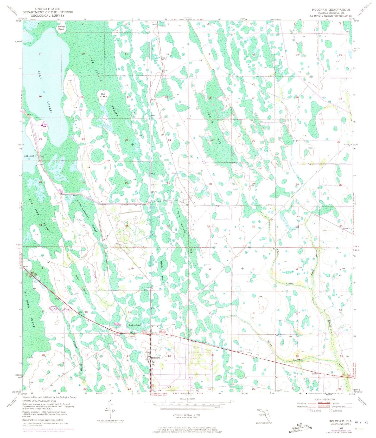
Classic USGS Holopaw Florida 7.5'x7.5' Topo Map
Couldn't load pickup availability
Historical USGS topographic quad map of Holopaw in the state of Florida. Map scale may vary for some years, but is generally around 1:24,000. Print size is approximately 24" x 27"
This quadrangle is in the following counties: Osceola.
The map contains contour lines, roads, rivers, towns, and lakes. Printed on high-quality waterproof paper with UV fade-resistant inks, and shipped rolled.
Contains the following named places: Cat Island, Cat Island Swamp, Elbow Branch, Grape Hammock Slough, Hogpen Slough, Holopaw, Indian Branch, John H Bay, Jug Creek Swamp, Lake Conlin, Lake X Airport, Major Slough, Major Slough Lake, Myrtle Slough, North Branch Crabgrass Creek, Osceola County Fire Rescue and Emergency Medical Services Department Station 55, Rocky Pond, Tohopkee, Turn Around Bay, ZIP Code: 34773