MyTopo
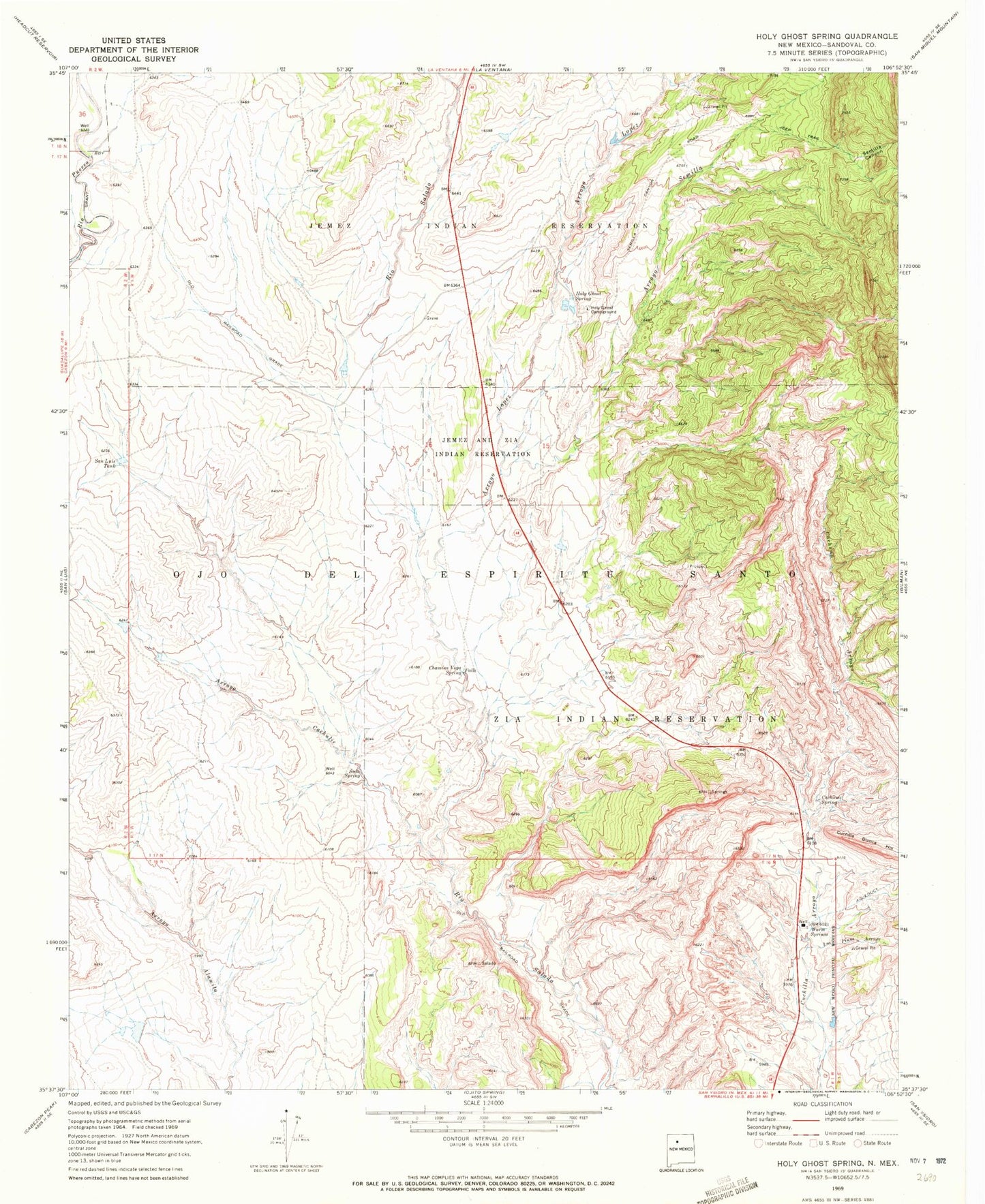
Classic USGS Holy Ghost Spring New Mexico 7.5'x7.5' Topo Map
Couldn't load pickup availability
Historical USGS topographic quad map of Holy Ghost Spring in the state of New Mexico. Map scale may vary for some years, but is generally around 1:24,000. Print size is approximately 24" x 27"
This quadrangle is in the following counties: Sandoval.
The map contains contour lines, roads, rivers, towns, and lakes. Printed on high-quality waterproof paper with UV fade-resistant inks, and shipped rolled.
Contains the following named places: Arroyo Cachulie, Arroyo Lopez, Arroyo Semilla, Burcar Prospect, Cachana Arroyo, Cachana Spring, CCC Camp Number 8N, Chamisa Vega Spring Falls, Collins Mine, Cuchilla Blanca Hill, Goodner Section 24 and 25 Mine, Goodner Section Eleven Prospect, Holy Ghost Campground, Holy Ghost Spring, Kaseman Number One Mine, Los Pinos Arroyo, RWP 1 Water Well, RWP 4 Water Well, San Luis Tank, Semilla Canyon, Soda Spring, Warm Springs, Warm Springs Mine


