MyTopo
Classic USGS Homan Arkansas 7.5'x7.5' Topo Map
Couldn't load pickup availability
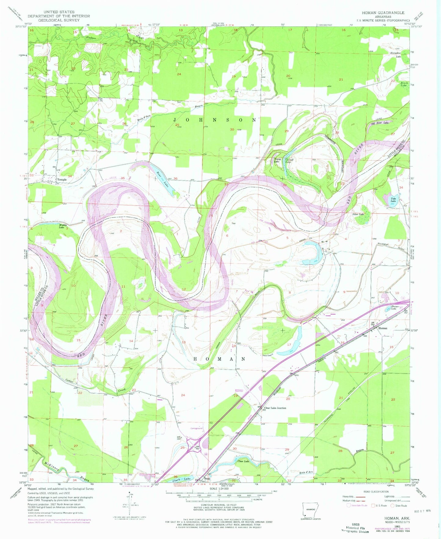
Historical USGS topographic quad map of Homan in the state of Arkansas. Map scale may vary for some years, but is generally around 1:24,000. Print size is approximately 24" x 27"
This quadrangle is in the following counties: Little River, Miller.
The map contains contour lines, roads, rivers, towns, and lakes. Printed on high-quality waterproof paper with UV fade-resistant inks, and shipped rolled.
Contains the following named places: Bear Lake, Brush Lake, Cedar Creek, Clark Lake, Clear Lake, Clear Lake Junction, Cut-off Lake, Gillespie Ditch, Harper Lake, Homan, Homan Ditch, Horseshoe Lake, Muddy Lake, Old River Lake, Paup, Paup Cemetery, Silver Lake, Temple, Tobe Lake, Township of Homan, Township of Johnson, Young Lake, ZIP Code: 71853