MyTopo
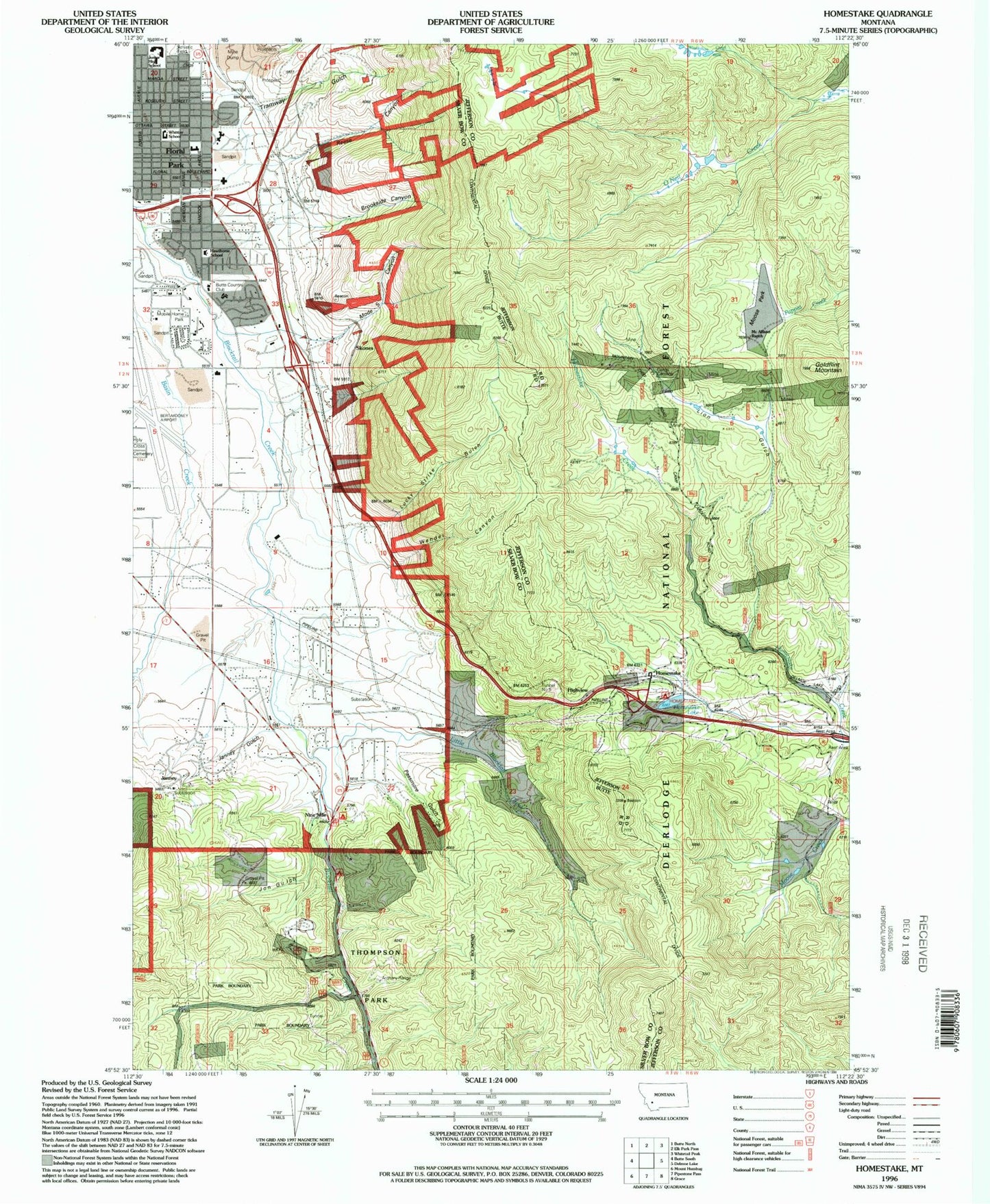
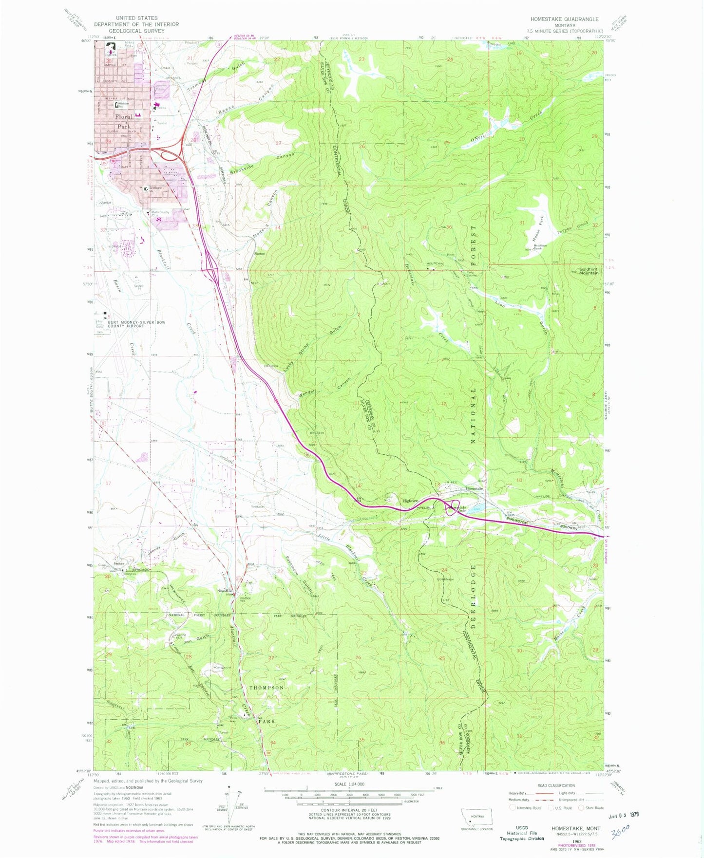
Classic USGS Homestake Montana 7.5'x7.5' Topo Map
Couldn't load pickup availability
Historical USGS topographic quad map of Homestake in the state of Montana. Map scale may vary for some years, but is generally around 1:24,000. Print size is approximately 24" x 27"
This quadrangle is in the following counties: Jefferson, Silver Bow.
The map contains contour lines, roads, rivers, towns, and lakes. Printed on high-quality waterproof paper with UV fade-resistant inks, and shipped rolled.
Contains the following named places: 02N07W04DCC_01 Spring, 02N07W04DDC_01 Well, 02N07W05ACD_01 Well, 02N07W08AAA_01 Well, 02N07W08ADA_02 Well, 02N07W08ADA_03 Well, 02N07W08ADB_01 Well, 02N07W08DCC_02 Well, 02N07W09ADD_01 Well, 02N07W09BAC_01 Well, 02N07W09BDD_02 Well, 02N07W10BAC_01 Well, 02N07W15BCB_01 Well, 02N07W15DDC_01 Well, 02N07W16ABA_01 Well, 02N07W16ABA_02 Well, 02N07W16DDB_01 Well, 02N07W17DAD_01 Well, 02N07W20A___01 Well, 02N07W20AAA_01 Well, 02N07W20AAB_01 Well, 02N07W20AC__01 Well, 02N07W20ADA_01 Well, 02N07W20ADA_02 Well, 02N07W21ABB_01 Well, 02N07W21DAA_01 Well, 02N07W21DAB_01 Well, 02N07W21DAB_02 Well, 02N07W21DAB_03 Well, 02N07W21DAC_01 Well, 02N07W21DC__01 Well, 02N07W21DDA_01 Well, 02N07W22DAC_01 Well, 02N07W22DAC_02 Well, 02N07W22DDA_01 Well, 03N07W20ACA_01 Well, 03N07W28ACA_01 Well, 03N07W28DBC_01 Spring, 03N07W29ACA_01 Well, 03N07W32AAC_01 Well, 03N07W32ADD_01 Well, 03N07W32DAB_01 Well, 03N07W32DBB_01 Well, 03N07W33AAA_01 Spring, 03N07W33AAB_01 Spring, 03N07W33ABA_01 Spring, 03N07W33ACD_01 Well, 03N07W33DDA_01 Well, 03N07W34CBC_01 Well, 03N07W34CBD_01 Well, 03N07W34CCB_01 Spring, Bettie Mine, Big Spring Picnic Area, Blacktail Deer Picnic Area, Brookside Canyon, Bulldog Memorial Stadium, Butte Aero Heliport, Butte Convalescent Center, Butte Country Club, Butte Historical Marker, Butte Park Royal, Camp Caroline, Crest Nursing Home, Eagles Nest Campground, East Middle School, Floral Park, Floral Park Volunteer Fire Department, Gold Flint Mine, Goldflint Mountain, Hannibal Street Baptist Church, Hawthorne School, Highview, Hillcrest School, Holy Spirit Catholic Church, Holy Trinity Serbian Orthodox Church, Home Atherton Rural Fire Department, Homestake, Homestake Lake, Homestake Pass, Homestake Post Office, Homestake Recreation Area, Homestake Rest Area, Janney, Janney Gulch, Jon Gulch, Lena Mine, Lewis, Lion Gulch, Lions Den Campground, Little Blacktail Creek, Lucky Strike Canyon, McAllister Ranch, Meaderville Historical Marker, Mode-S Canyon, Montana Chemical Dependency Center, Montana State Highway Department Sandhouse, Moose Park, Mountain Chief Mine, Nine-mile, NW NW Section 6 Mine, Onge Post Office, Our Lady of the Rockies, Passmore Gulch, Penfield, Reese Canyon, Rising Sun Mine, Skones, SW SE Section 36 Mine, Terra Verde Heights Volunteer Fire Station, Thompson Park, Tramway Gulch, Tunnel Number 5, United Congregational Church, United States High Altitude Sports Center, Wendel Canyon, Whittier Park, Whittier School, Wissikihon Creek, Worldwide Church of God


