MyTopo
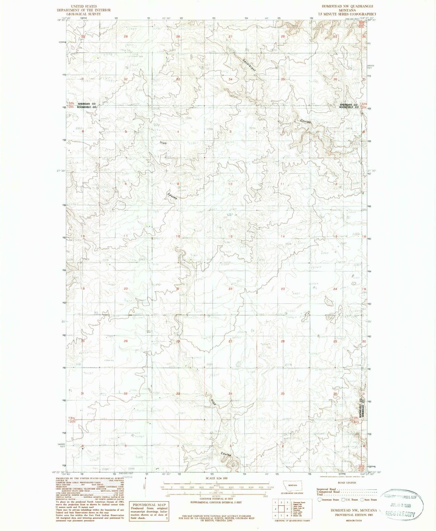
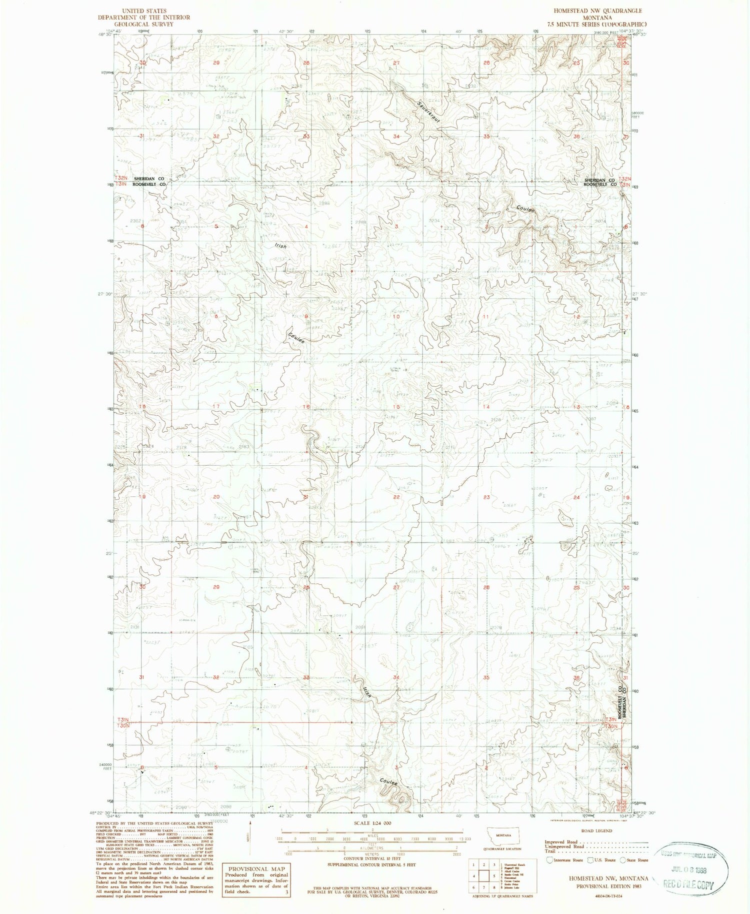
Classic USGS Homestead NW Montana 7.5'x7.5' Topo Map
Regular price
$16.95
Regular price
Sale price
$16.95
Unit price
per
Couldn't load pickup availability
Historical USGS topographic quad map of Homestead NW in the state of Montana. Map scale may vary for some years, but is generally around 1:24,000. Print size is approximately 24" x 27"
This quadrangle is in the following counties: Roosevelt, Sheridan.
The map contains contour lines, roads, rivers, towns, and lakes. Printed on high-quality waterproof paper with UV fade-resistant inks, and shipped rolled.
Contains the following named places: 31N54E16DCDA01 Well, 31N54E23DDDD01 Well, 31N54E28DCDC01 Well, 31N55E07CBCB01 Well, 32N54E33BABC01 Well, Eng Cemetery, Flat Center School, Fort Kipp District, Jacobson Cemetery, Murray School