MyTopo
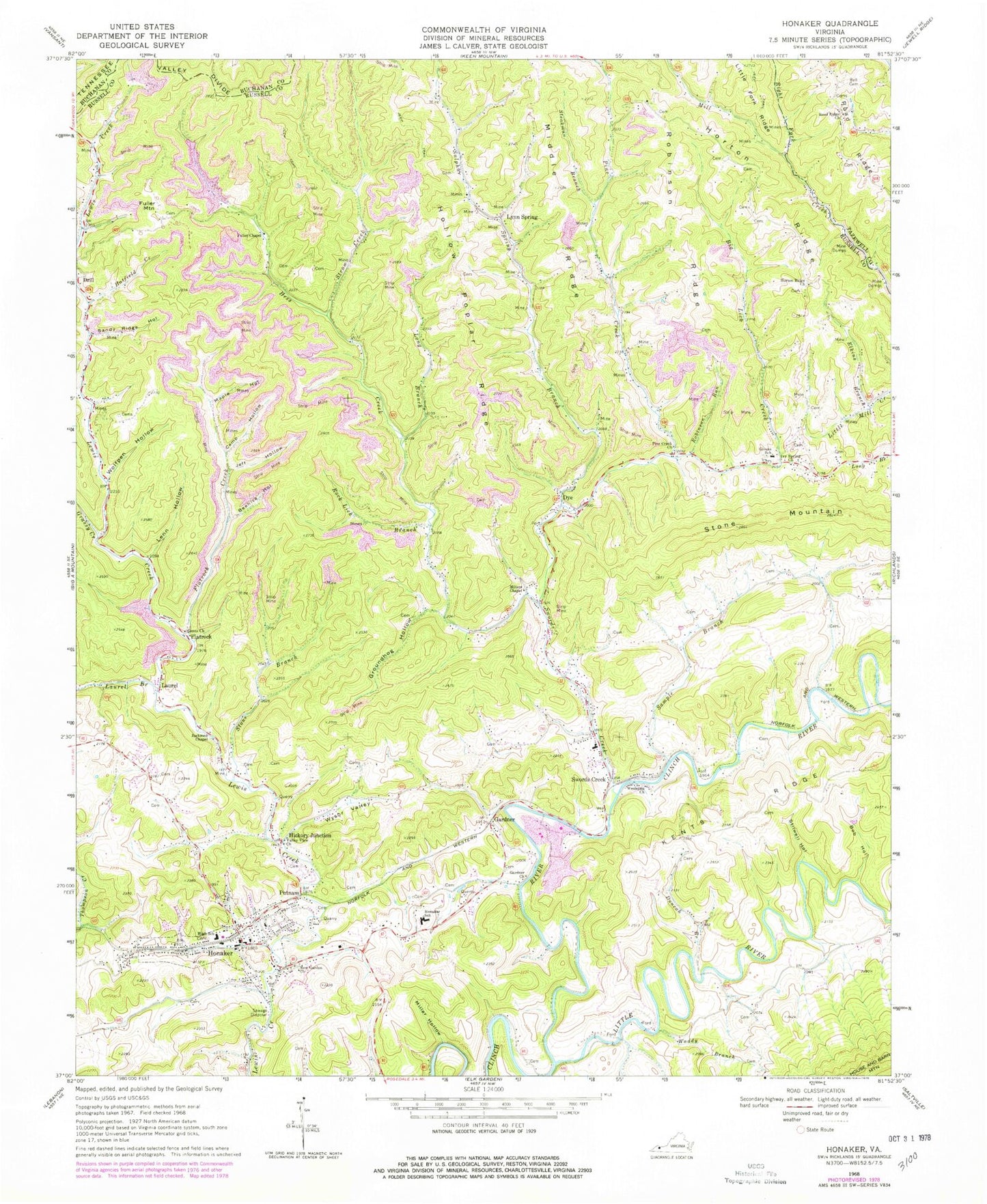
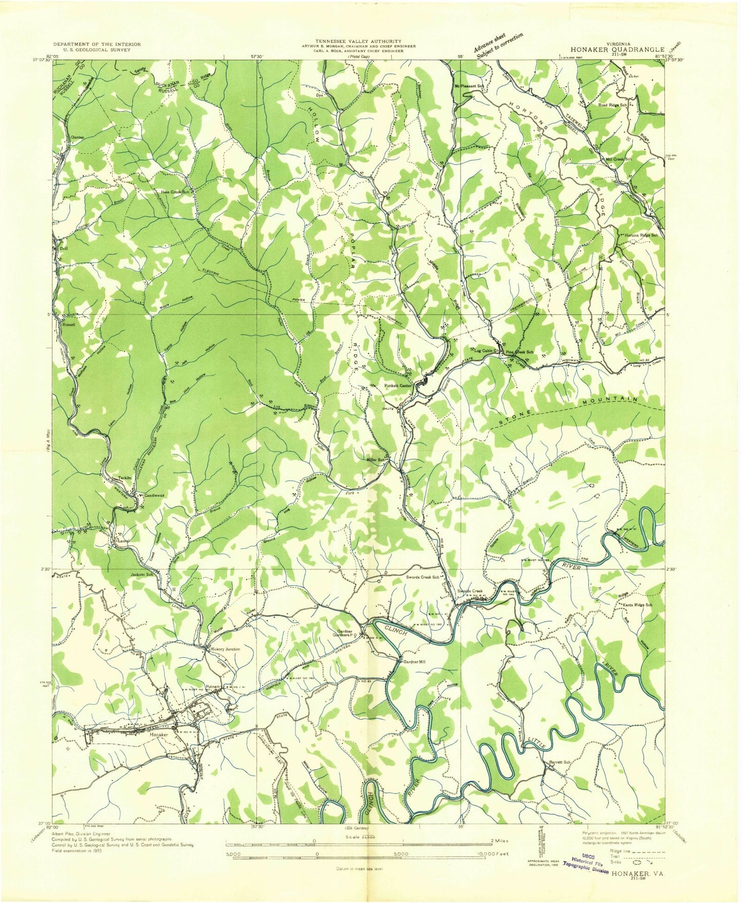
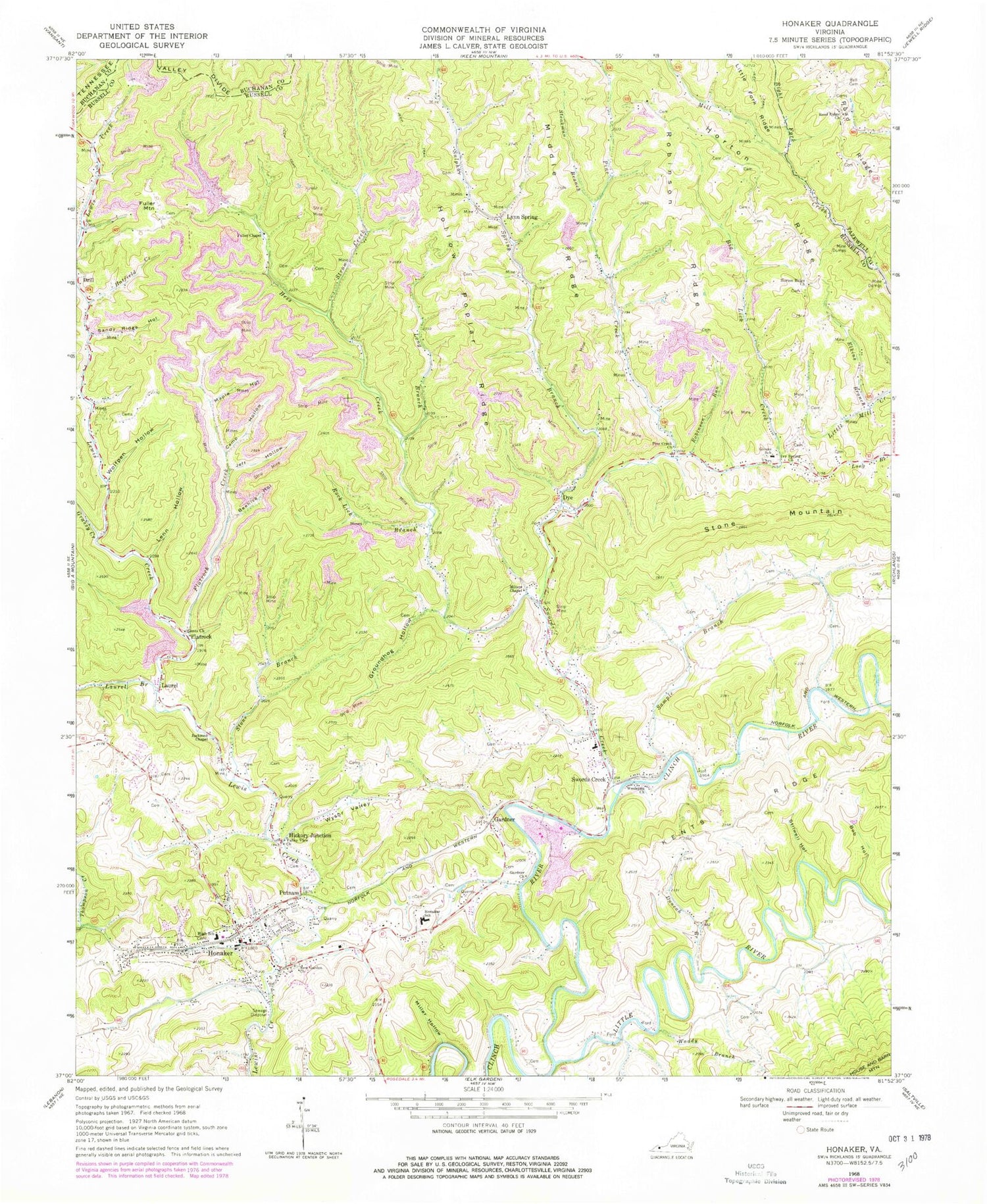
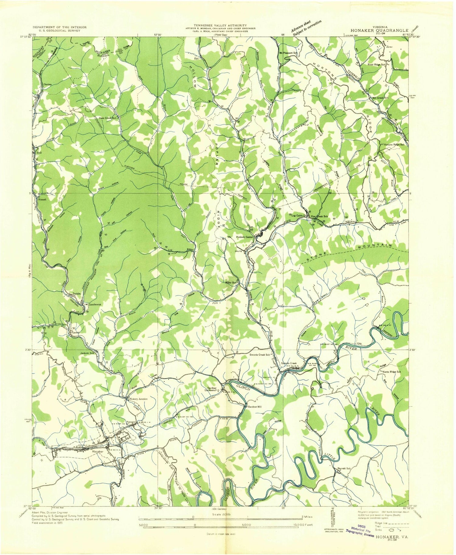
Classic USGS Honaker Virginia 7.5'x7.5' Topo Map
Couldn't load pickup availability
Historical USGS topographic quad map of Honaker in the state of Virginia. Map scale may vary for some years, but is generally around 1:24,000. Print size is approximately 24" x 27"
This quadrangle is in the following counties: Buchanan, Russell, Tazewell.
The map contains contour lines, roads, rivers, towns, and lakes. Printed on high-quality waterproof paper with UV fade-resistant inks, and shipped rolled.
Contains the following named places: Ball Cemetery, Barrett Cemetery, Barrett Chapel, Barrett School, Beehive Hollow, Big Lick Creek, Big Lick Ridge, Bob Hollow, Brown Cemetery, Call Cemetery, Camp Hollow, Casey Branch, Clark Cemetery, Drill, Duncan Branch, Dye, Dye School, Dye-Perkins Cemetery, Elkins Branch, Elkins Cemetery, Evan Kendrick Cemetery, Evans Cemetery, Flatrock, Flatrock Creek, Fuller Branch, Fuller Chapel, Fuller Mountain, Garden, Gardner, Gardner Church, Gents Church, Givens Elementary School, Grassy Creek, Groundhog Hollow, Harvey Honaker Cemetery, Hatfield Creek, Haywood Wilson Cemetery, Hess Creek, Hess Creek School, Hickory Junction, Hobson School, Hollow Poplar Ridge, Honaker, Honaker Elementary School, Honaker High School, Honaker Police Department, Honaker Post Office, Honaker Volunteer Fire Department, Horton Cemetery, Horton Family Cemetery, Horton Ridge Church, Horton Ridge School, Ivy Spring Church, Jackson School, Jacksons Chapel, Jackson-Starnes Cemetery, Jeff Hollow, Jesse Cemetery, Jonathan A. Boyd Cemetery, Joshua Hess Cemetery, Kents Ridge School, Kit Richardson Cemetery, Laurel, Laurel Branch, Lenn Hollow, Little River, Long Branch, Long Branch School, Lynn Spring, Lynn Spring Church, Maple Hollow, Martin Bostic Cemetery, Middle Ridge, Mill Creek School, Miller Hollow, Miller School, Millers Chapel, Moses Hurt Cemetery, Mount Pleasant School, New Garden Church, New Garden District, New Garden Rescue Squad, Newberry Cemetery, Pine Creek, Pine Creek Church, Pine Creek School, Putnam, Ray Cemetery, Richardson Cemetery, Right Fork Mill Creek, Road Ridge, Road Ridge Church, Road Ridge School, Robinette Cemetery, Robinson Ridge, Robinson Run, Robinson-Hunt Cemetery, Rock Lick Branch, Russell, Sample Branch, Sandy Ridge Hollow, Silas William Boyd Cemetery, Steakman Branch, Steel Branch, Stilwell Hollow, Stone Branch, Stone Mountain, Strow Creek, Sulphur Spring Branch, Sword Creek, Swords Creek, Swords Creek Elementary School, Swords Creek Post Office, Tarkiln, Town of Honaker, Tunnel Hill Cemetery, Valley View Church, Waddy Branch, Wesleyan Church, Wilson Cemetery, Wolfpen Hollow, Wysor Valley, ZIP Code: 24649


