MyTopo
Classic USGS Honcut California 7.5'x7.5' Topo Map
Couldn't load pickup availability
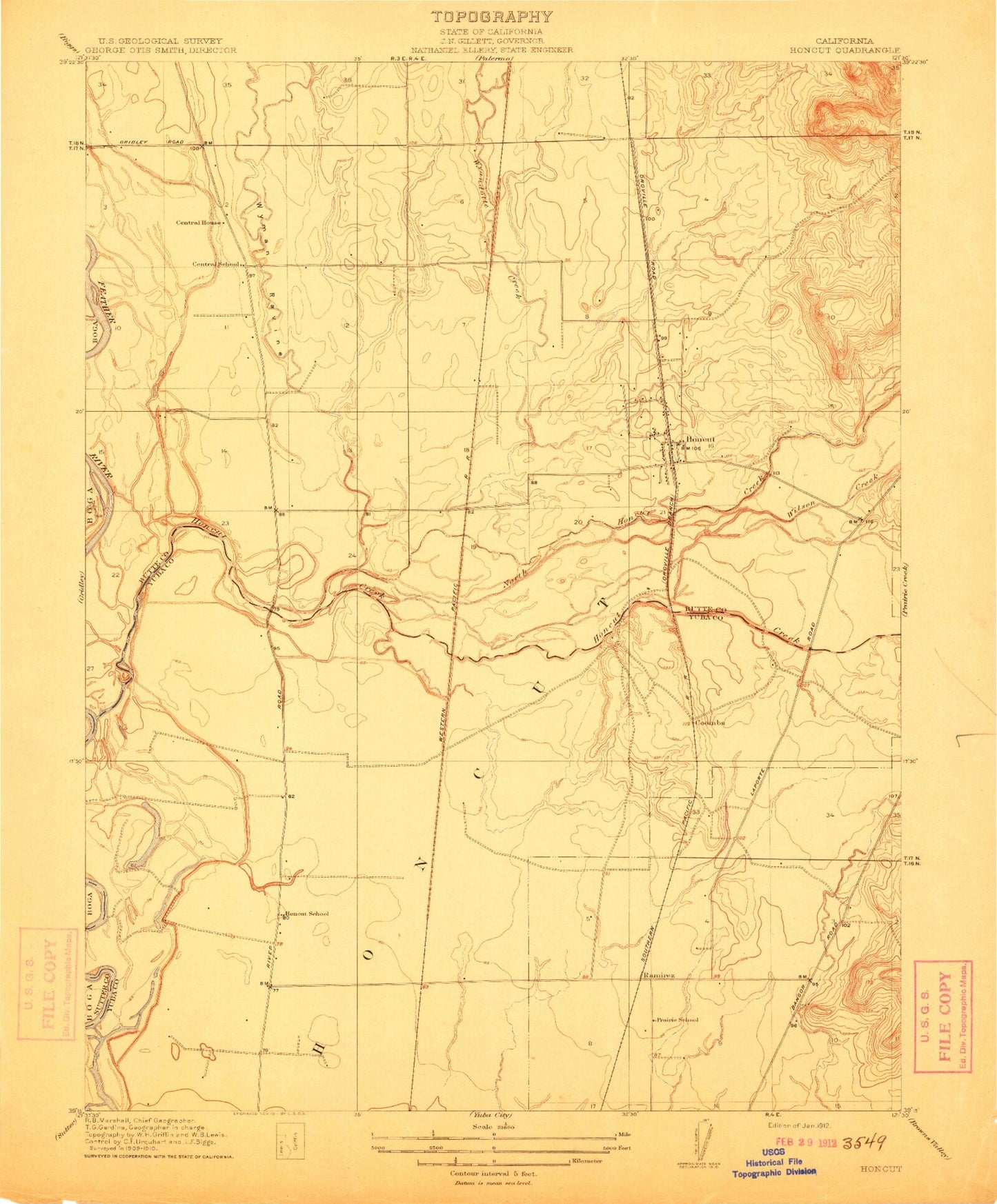
Historical USGS topographic quad map of Honcut in the state of California. Map scale may vary for some years, but is generally around 1:24,000. Print size is approximately 24" x 27"
This quadrangle is in the following counties: Butte, Sutter, Yuba.
The map contains contour lines, roads, rivers, towns, and lakes. Printed on high-quality waterproof paper with UV fade-resistant inks, and shipped rolled.
Contains the following named places: Bliss, Central House, Central School, Coombs, Craig, Honcut, Honcut Census Designated Place, Honcut Creek, Honcut School, La Finca Orchards, North Honcut Creek, North Tree Fire Station, Pacific Ranch, Prairie School, Ramirez, Robinsons Corner, Section Seven Gun Club, South Honcut Creek, Wilson Creek, Wyandotte Creek, Wyman Ravine