MyTopo
Classic USGS Honeyville Utah 7.5'x7.5' Topo Map
Couldn't load pickup availability
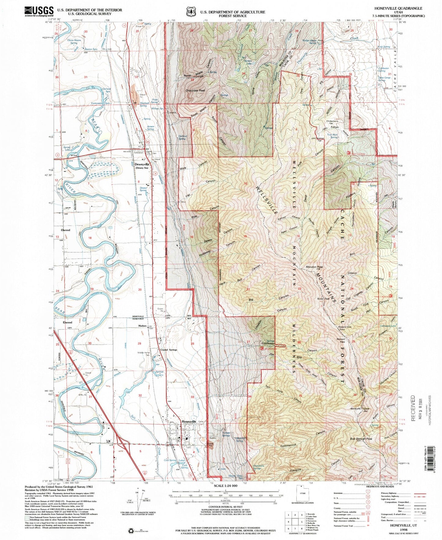
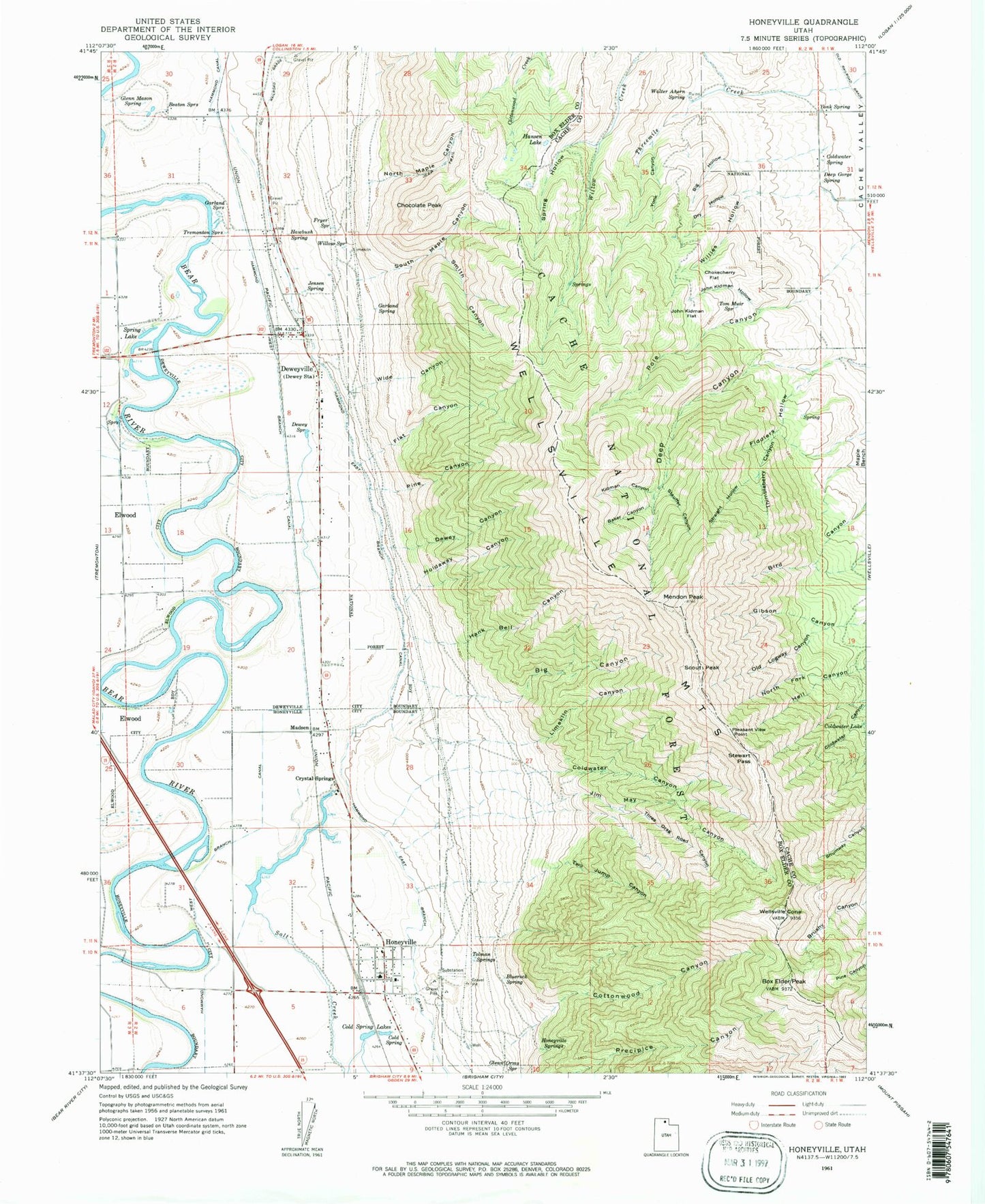
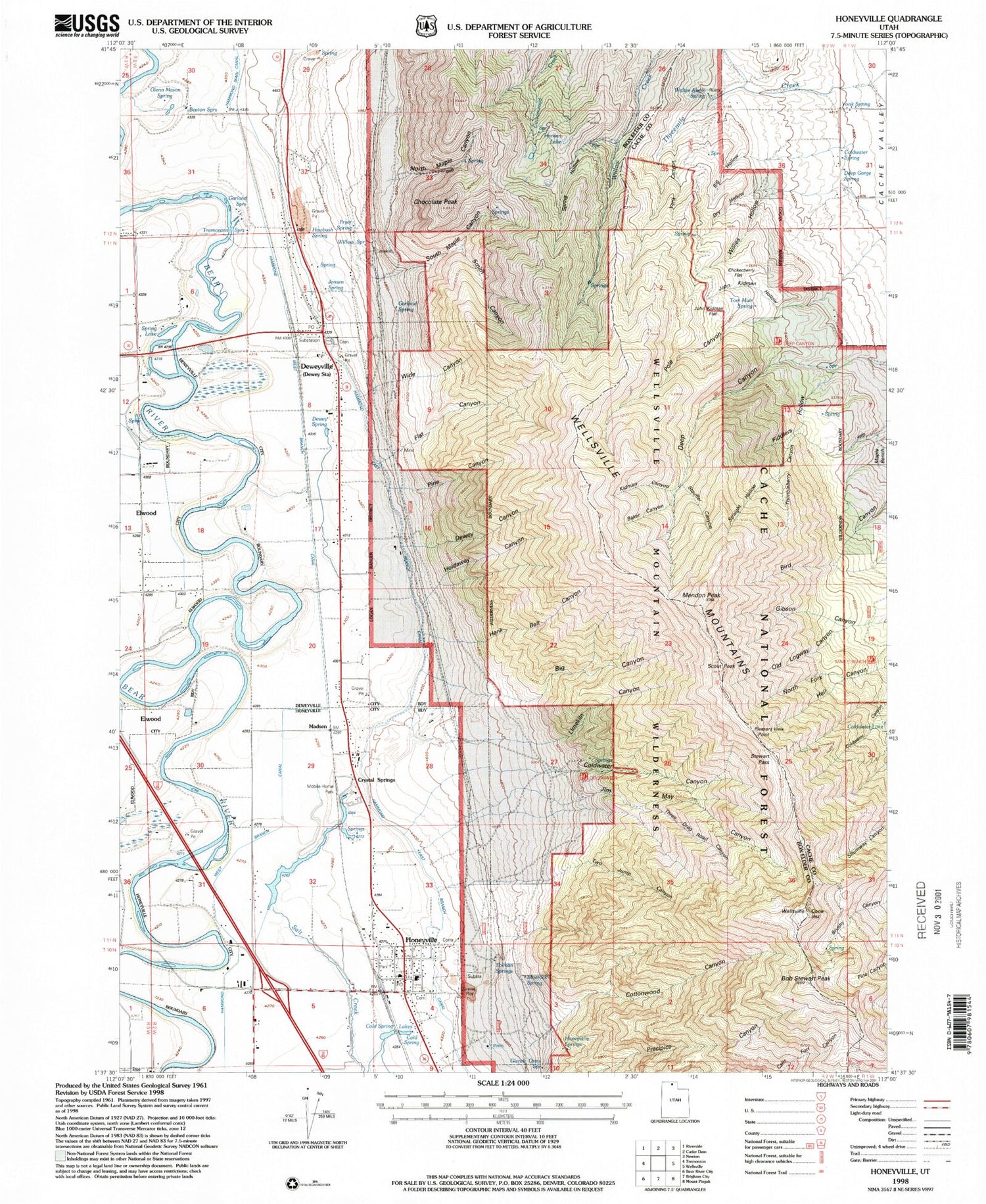
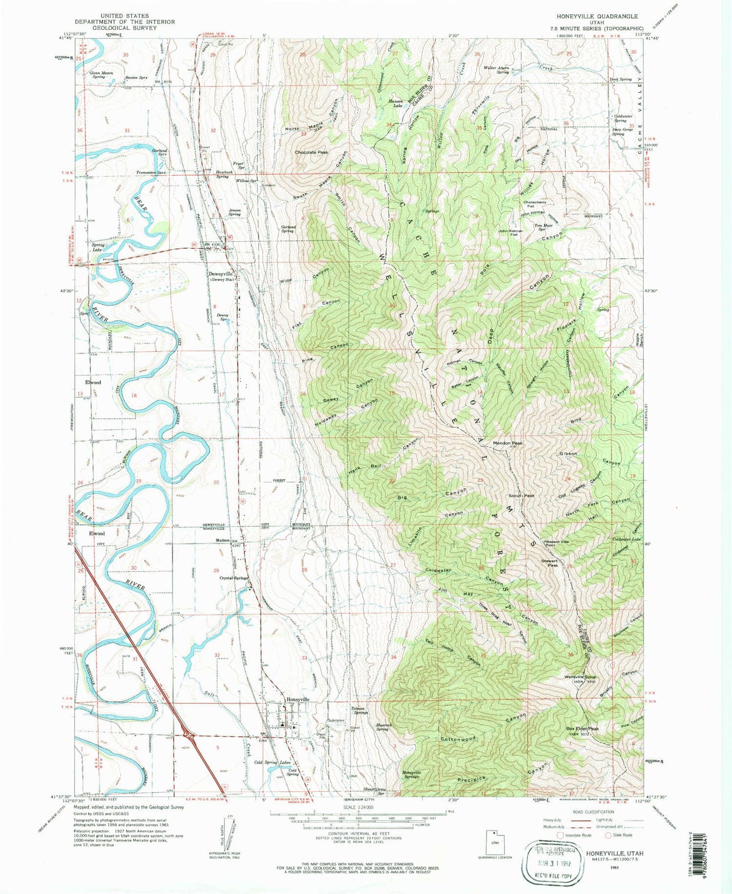
Historical USGS topographic quad map of Honeyville in the state of Utah. Map scale may vary for some years, but is generally around 1:24,000. Print size is approximately 24" x 27"
This quadrangle is in the following counties: Box Elder, Cache.
The map contains contour lines, roads, rivers, towns, and lakes. Printed on high-quality waterproof paper with UV fade-resistant inks, and shipped rolled.
Contains the following named places: Baker Canyon, Beaton Springs, Big Canyon, Big Hollow, Bluerock Spring, Bob Stewart Peak, Box Elder Peak, Chocolate Peak, Chokecherry Flat, City of Honeyville, Cold Spring, Cold Spring Lakes, Coldwater Canyon, Coldwater Lake, Coldwater Spring, Cottonwood Canyon, Crystal Spring Resort, Crystal Springs, Deep Gorge Spring, Dewey Canyon, Dewey Spring, Deweyville, Deweyville Cemetery, Dry Hollow, Fiddlers Hollow, Flat Canyon, Fryer Spring, Garland Spring, Garland Springs, Glenn Mason Spring, Glenn Orms Spring, Hammond East Branch Canal, Hammond West Branch Canal, Hank Bell Canyon, Hansen Lake, Hawbush Spring, Holdaway Canyon, Honeyville, Honeyville Cemetery, Honeyville Fire Department, Honeyville Post Office, Honeyville School, Honeyville Springs, Jensen Spring, Jim May Canyon, John Kidman Flat, John Kidman Hollow, Kidman Canyon, Limekiln Canyon, Madsen, Mendon Peak, North Fork Hell Canyon, North Maple Canyon, Old Logway Canyon, Pine Canyon, Pleasant View Point, Scout Peak, Smith Canyon, South Maple Canyon, Spring Hollow, Spring Lake, Stauffer Canyon, Stewart Pass, Straight Hollow, The Church of Jesus Christ of Latter Day Saints, Thimbleberry Canyon, Three Drag Road Canyon, Tolman Springs, Tom Muir Spring, Town of Deweyville, Tremonton Springs, Two Jump Canyon, Walter Ahern Spring, Wellsville Cone, Wellsville Mountain Wilderness, Wellsville Mountains, Wide Canyon, Willies Hollow, Willow Spring, Yonk Canyon, Yonk Spring, ZIP Codes: 84309, 84314


