MyTopo
Classic USGS Hoodlum Canyon Oregon 7.5'x7.5' Topo Map
Regular price
$16.95
Regular price
Sale price
$16.95
Unit price
per
Couldn't load pickup availability
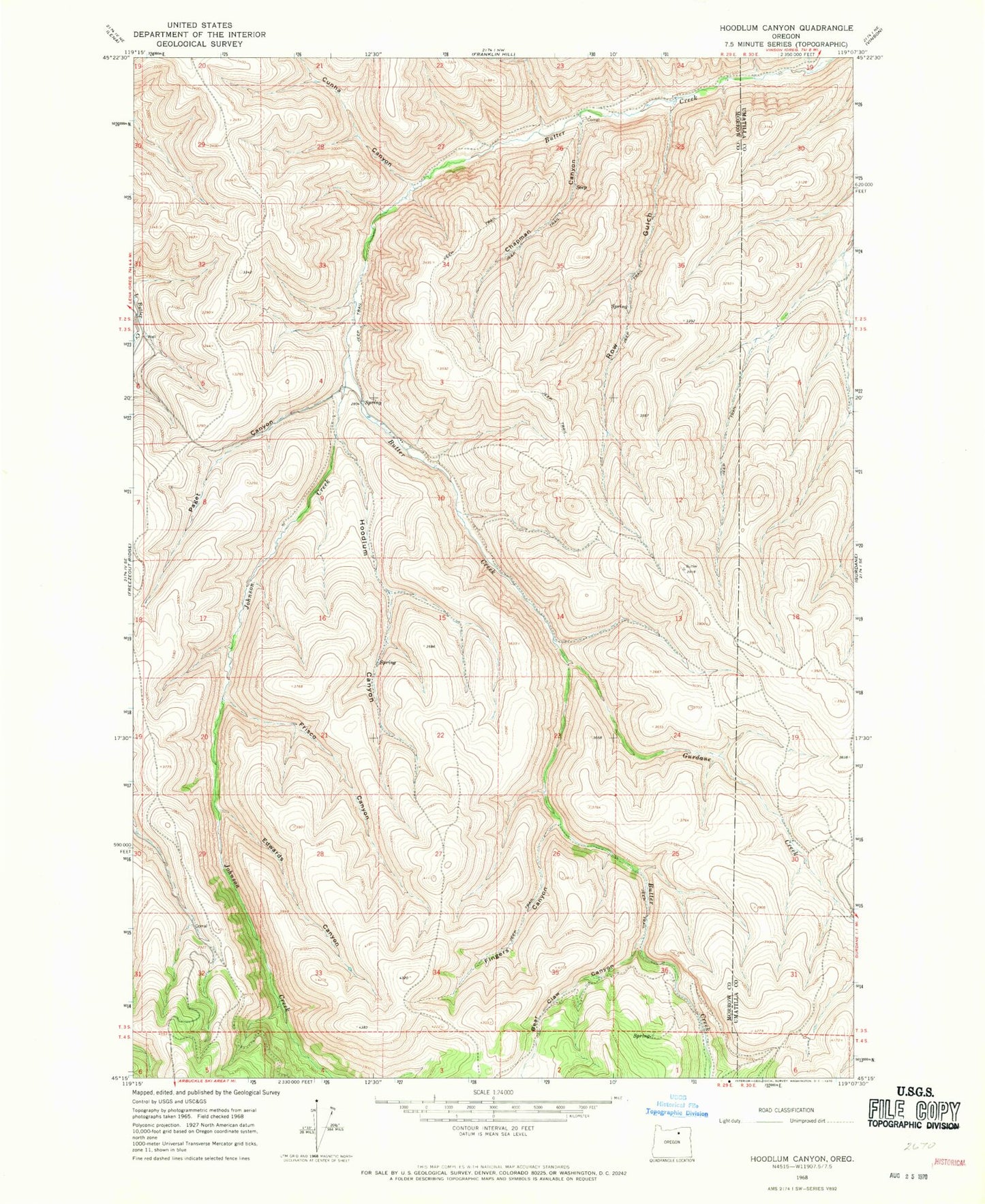
Historical USGS topographic quad map of Hoodlum Canyon in the state of Oregon. Map scale may vary for some years, but is generally around 1:24,000. Print size is approximately 24" x 27"
This quadrangle is in the following counties: Morrow, Umatilla.
The map contains contour lines, roads, rivers, towns, and lakes. Printed on high-quality waterproof paper with UV fade-resistant inks, and shipped rolled.
Contains the following named places: Bear Claw Canyon, Chapman Canyon, Cunha Canyon, Edwards Canyon, Fingers Canyon, Frisco Canyon, Gurdane Creek, Hoodlum Canyon, Johnson Creek, Paget Canyon, Row Gulch