MyTopo
Classic USGS Hoodoo Hill Montana 7.5'x7.5' Topo Map
Regular price
$16.95
Regular price
Sale price
$16.95
Unit price
per
Couldn't load pickup availability
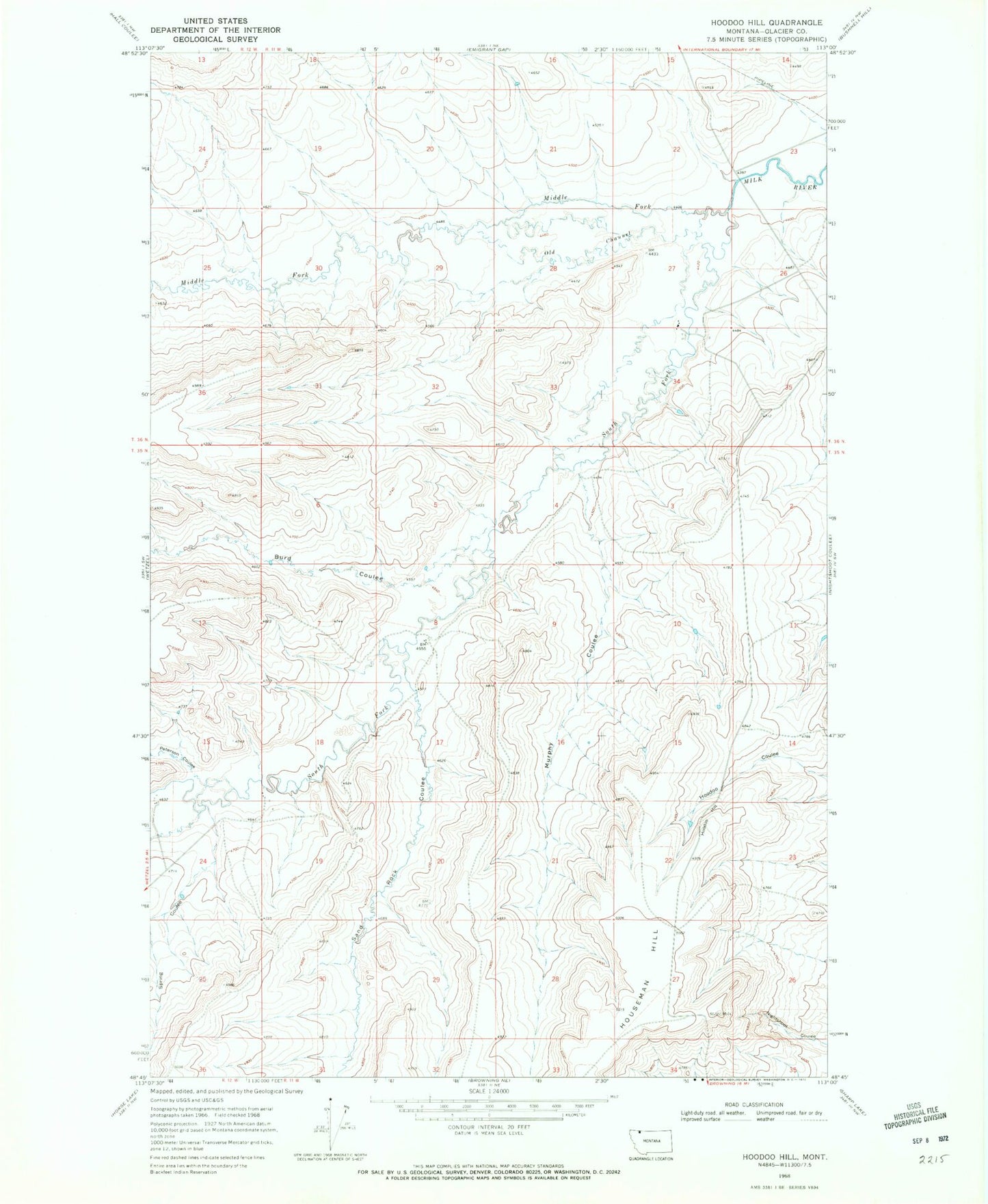
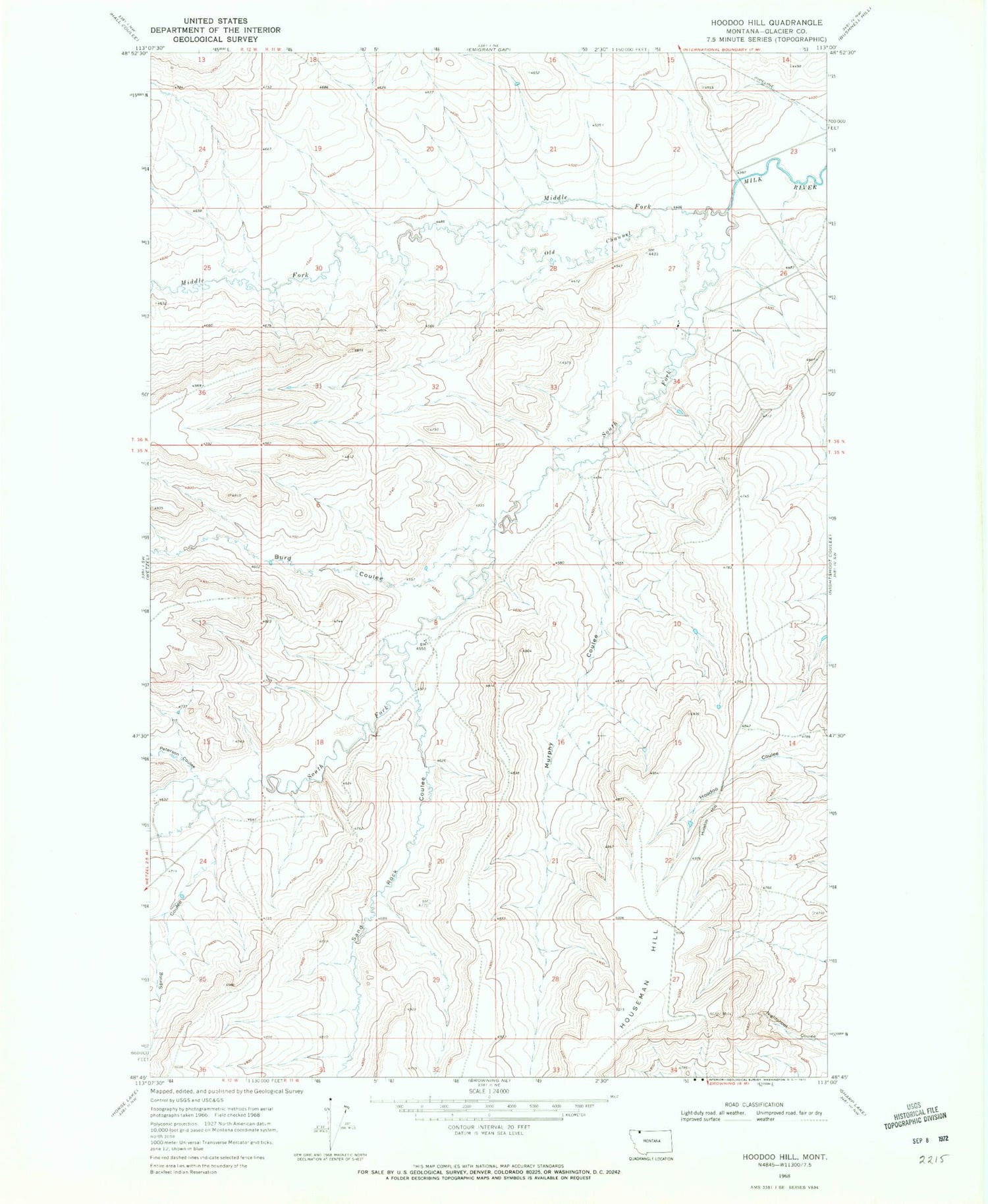
Historical USGS topographic quad map of Hoodoo Hill in the state of Montana. Map scale may vary for some years, but is generally around 1:24,000. Print size is approximately 24" x 27"
This quadrangle is in the following counties: Glacier.
The map contains contour lines, roads, rivers, towns, and lakes. Printed on high-quality waterproof paper with UV fade-resistant inks, and shipped rolled.
Contains the following named places: Burd Coulee, Hoodoo Hill, Middle Fork Milk River, Murphy Coulee, Old Channel Middle Fork Milk River, Peterson Coulee, Sand Rock Coulee, South Fork Milk River, Spring Coulee