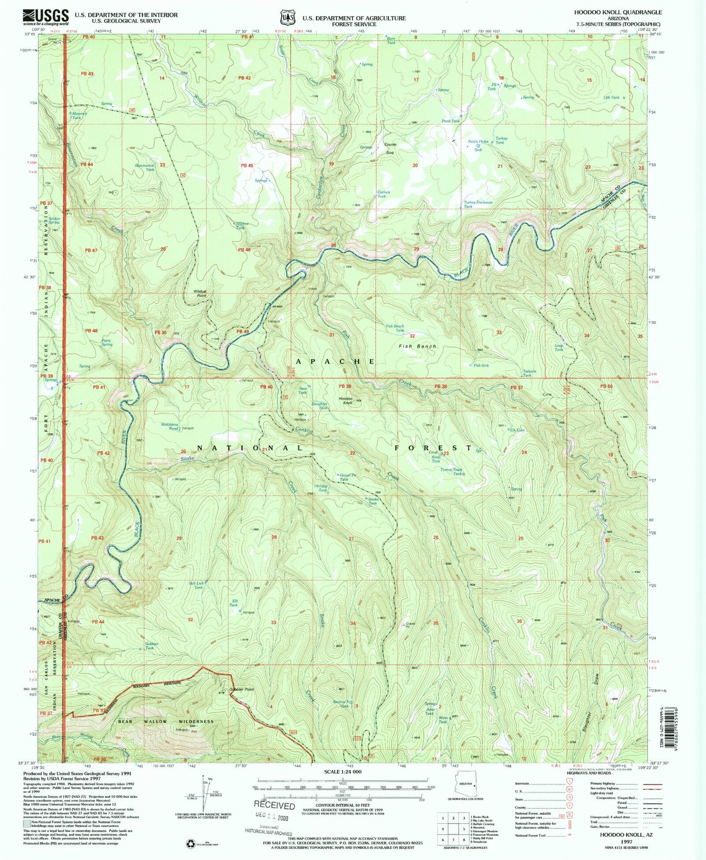
MyTopo
Classic USGS Hoodoo Knoll Arizona 7.5'x7.5' Topo Map
Couldn't load pickup availability
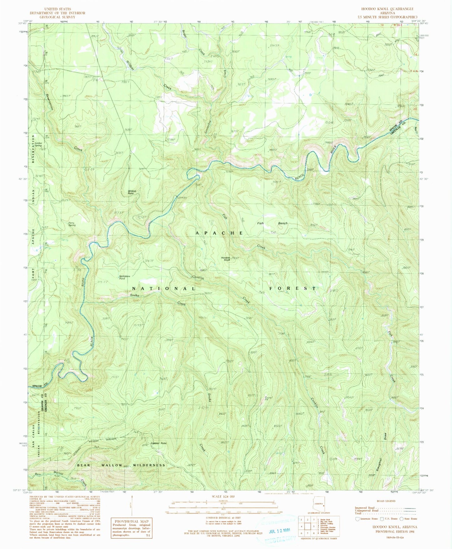
Historical USGS topographic quad map of Hoodoo Knoll in the state of Arizona. Typical map scale is 1:24,000, but may vary for certain years, if available. Print size: 24" x 27"
This quadrangle is in the following counties: Apache, Graham, Greenlee.
The map contains contour lines, roads, rivers, towns, and lakes. Printed on high-quality waterproof paper with UV fade-resistant inks, and shipped rolled.
Contains the following named places: Fish Bench, Boggy Creek, Centerfire Creek, Conklin Creek, Fish Creek, Gobbler Point, Hoodoo Knoll, McKibbins Pond, Paradise Park, Reservation Creek, Slaughter Draw, Snake Creek, Wildcat Creek, Wildcat Point, Bill Earl Spring, Perry Spring, Fishbench Tank, Gravel Pit Tank, Long Canyon Spring, Snake Tank, Tadpole Tank, Section Three Tank, Elk Tank, Salt Lick Tank, Juno Tank, Wren Tank, Knoll Tank, Holiday Tank, Slaughter Tank, Gobbler Tank, Turkey Track Tank, Elk Lake, Mushroom Seep, L Fifty-six Tank, Coyote Sink, Carlock Tank, Turkey Enclosure Tank, Turkey Tank, Pond Tank, Burk Seep, Reservation Tank, Maverick Tank, Burn Tank, PS Tank, Loop Tank, Side Canyon Spring, Wildcat Tank, Bear Tank, Black Tank, Fish Sink, Bill Earl Spring