MyTopo
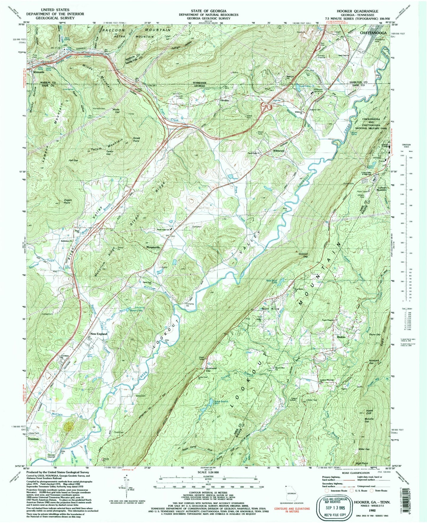
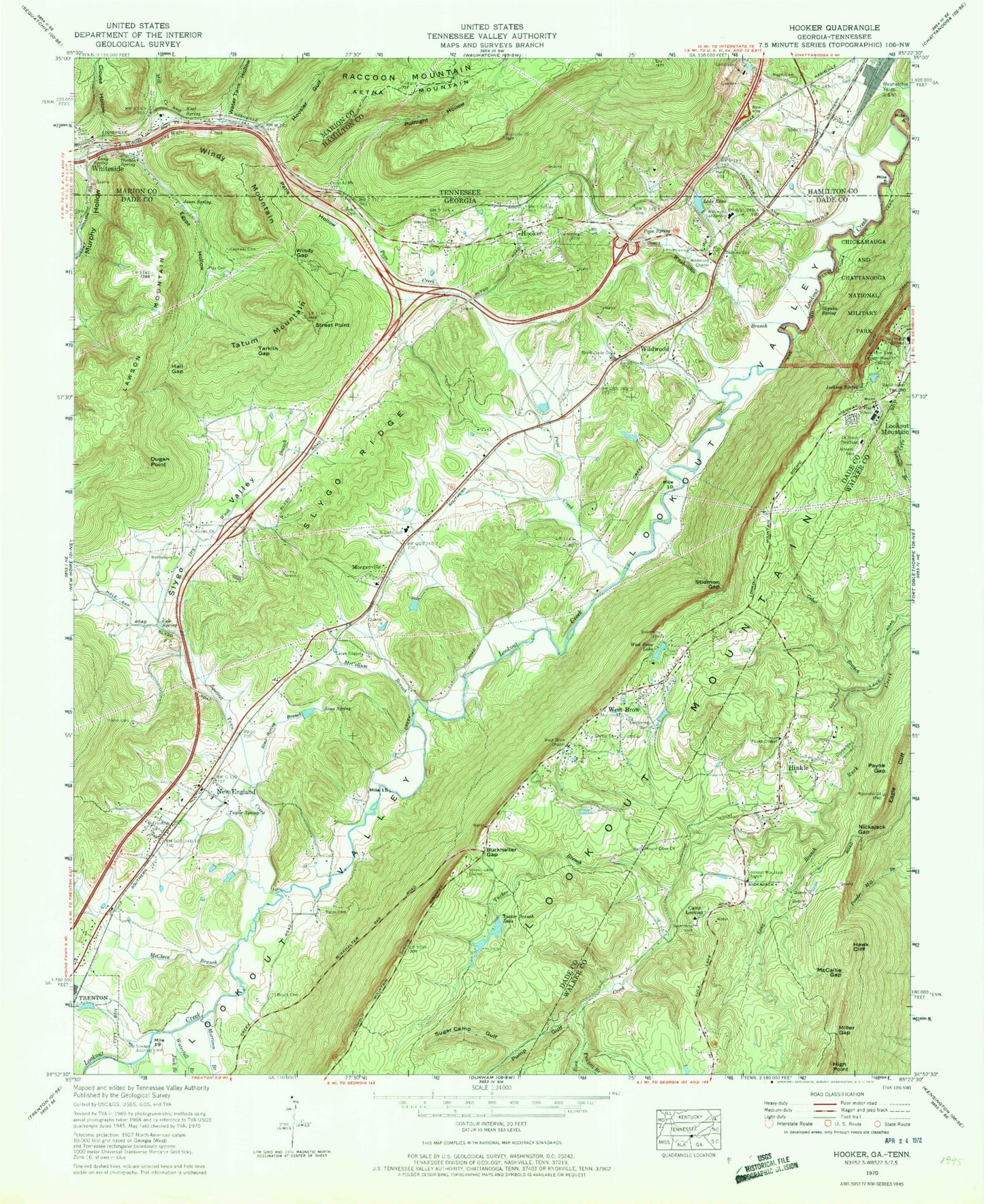
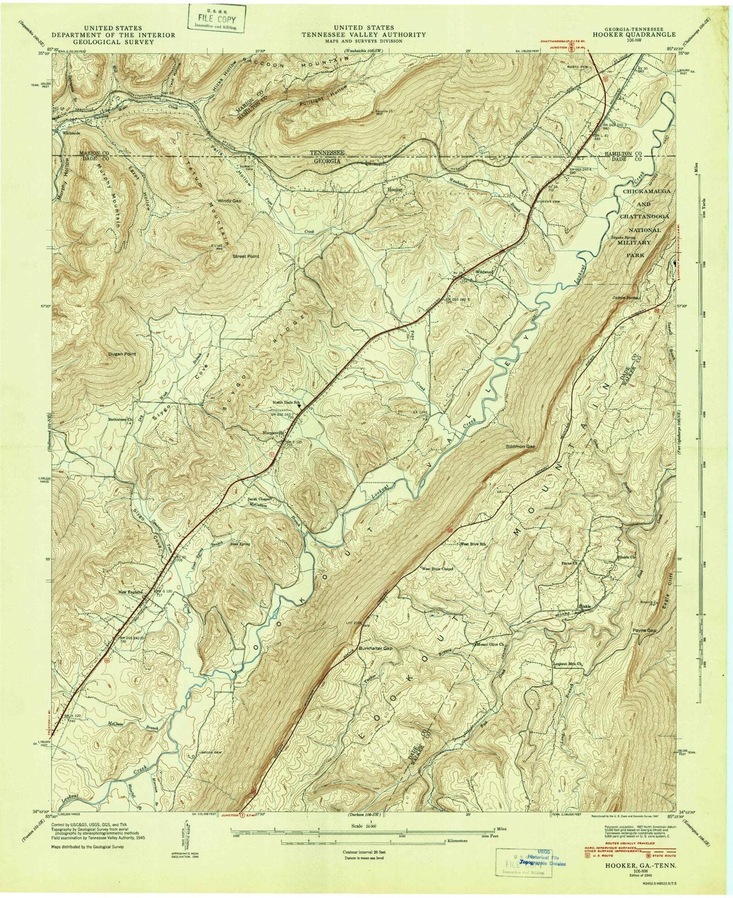
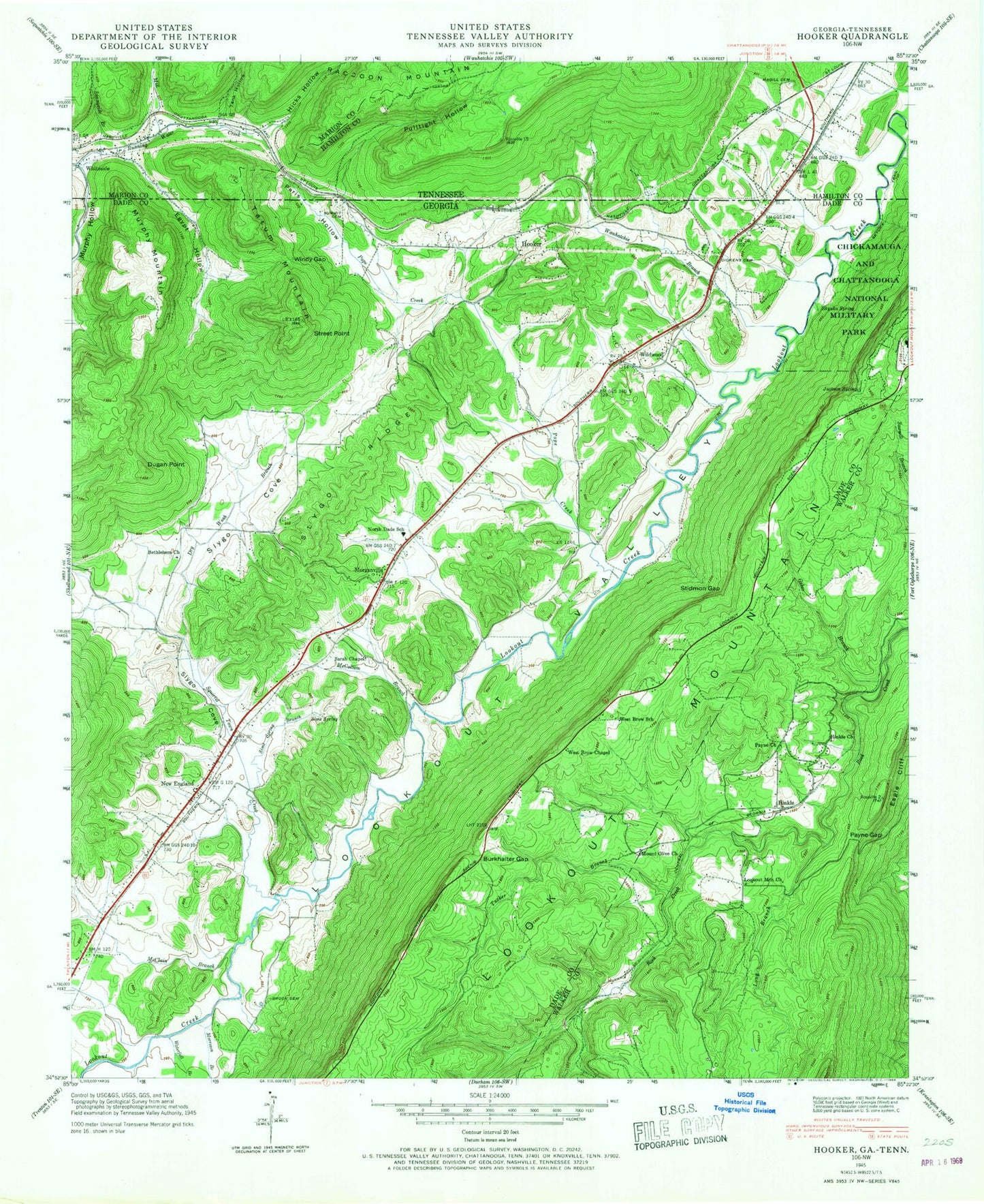
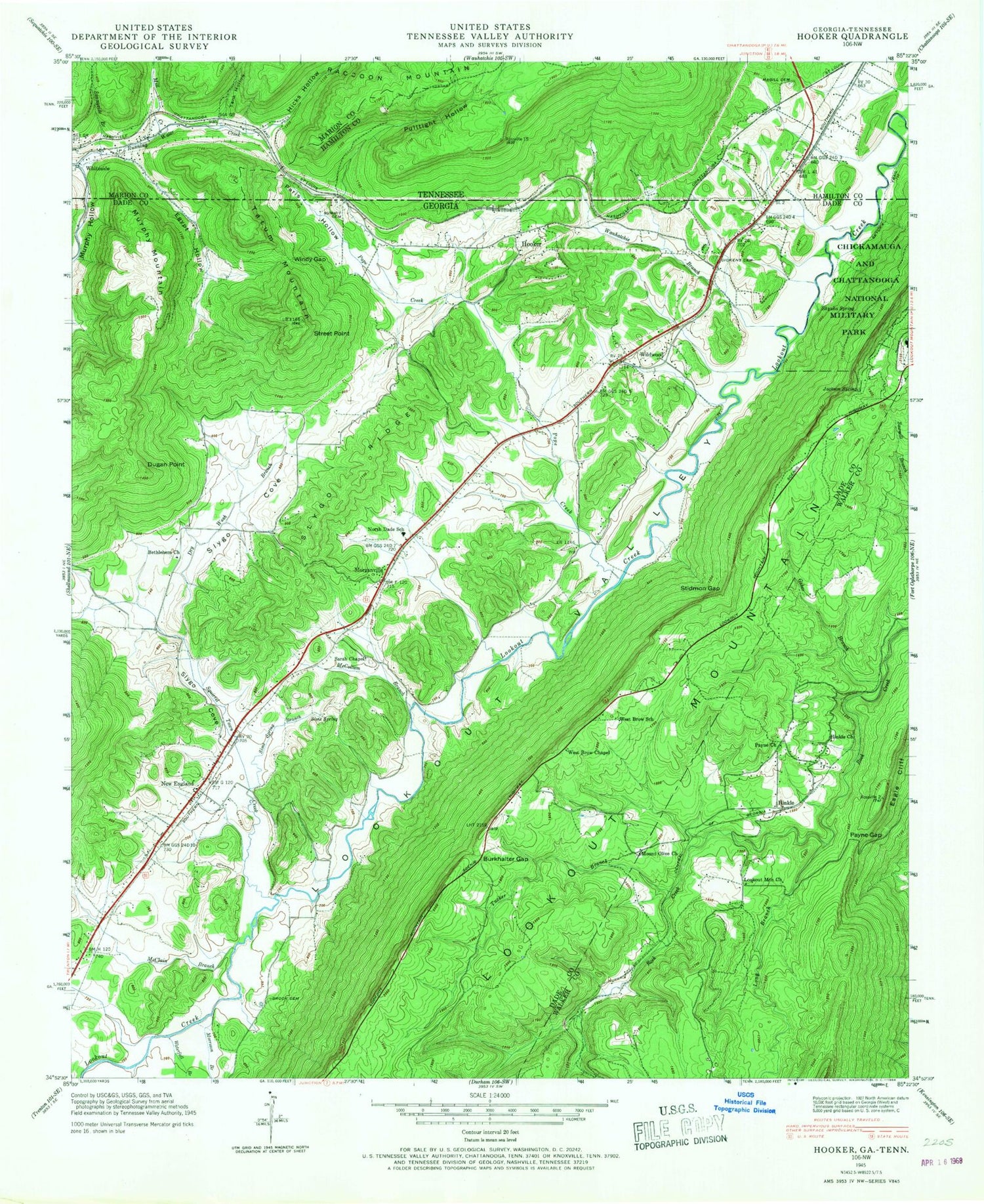
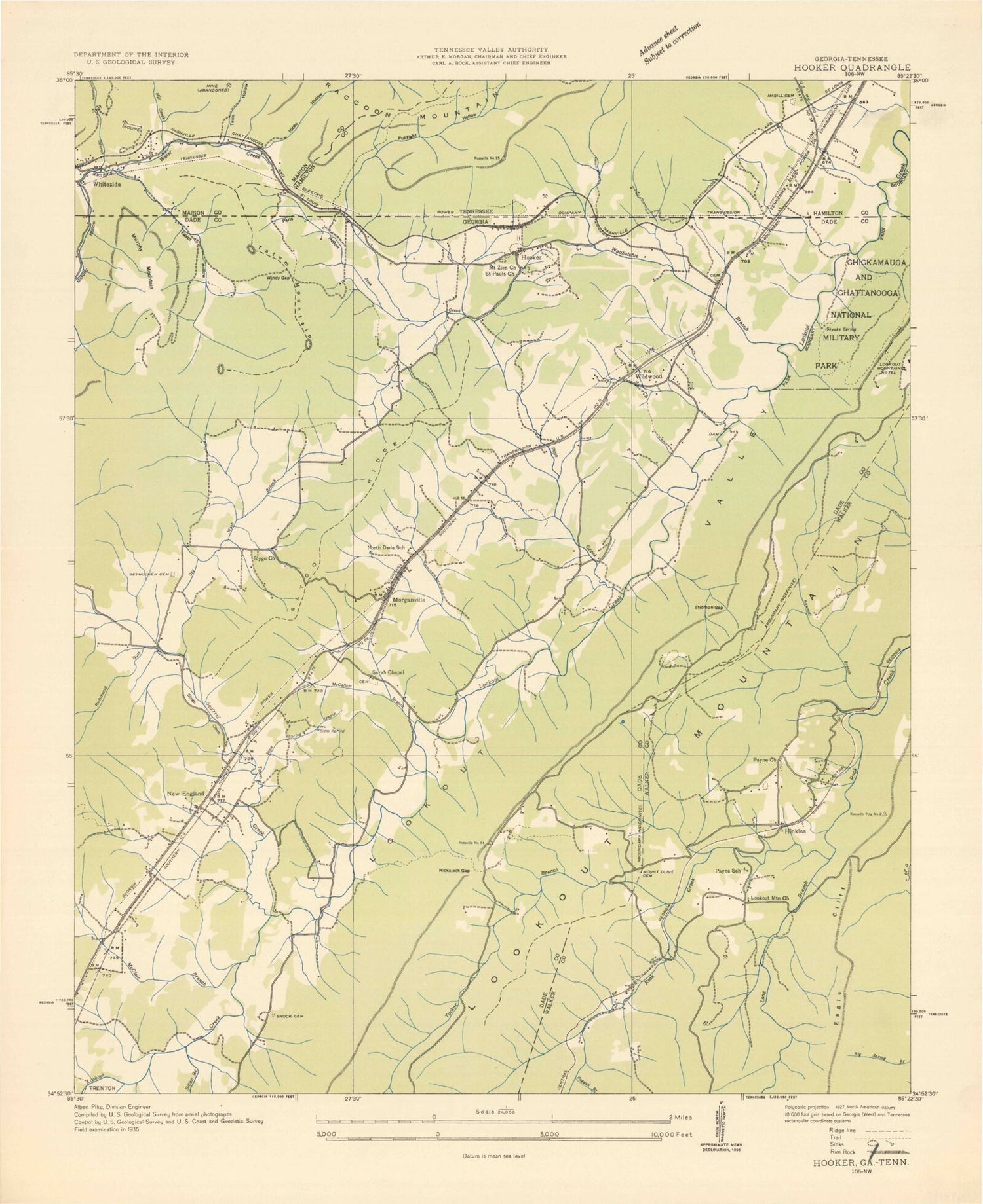
Classic USGS Hooker Georgia 7.5'x7.5' Topo Map
Couldn't load pickup availability
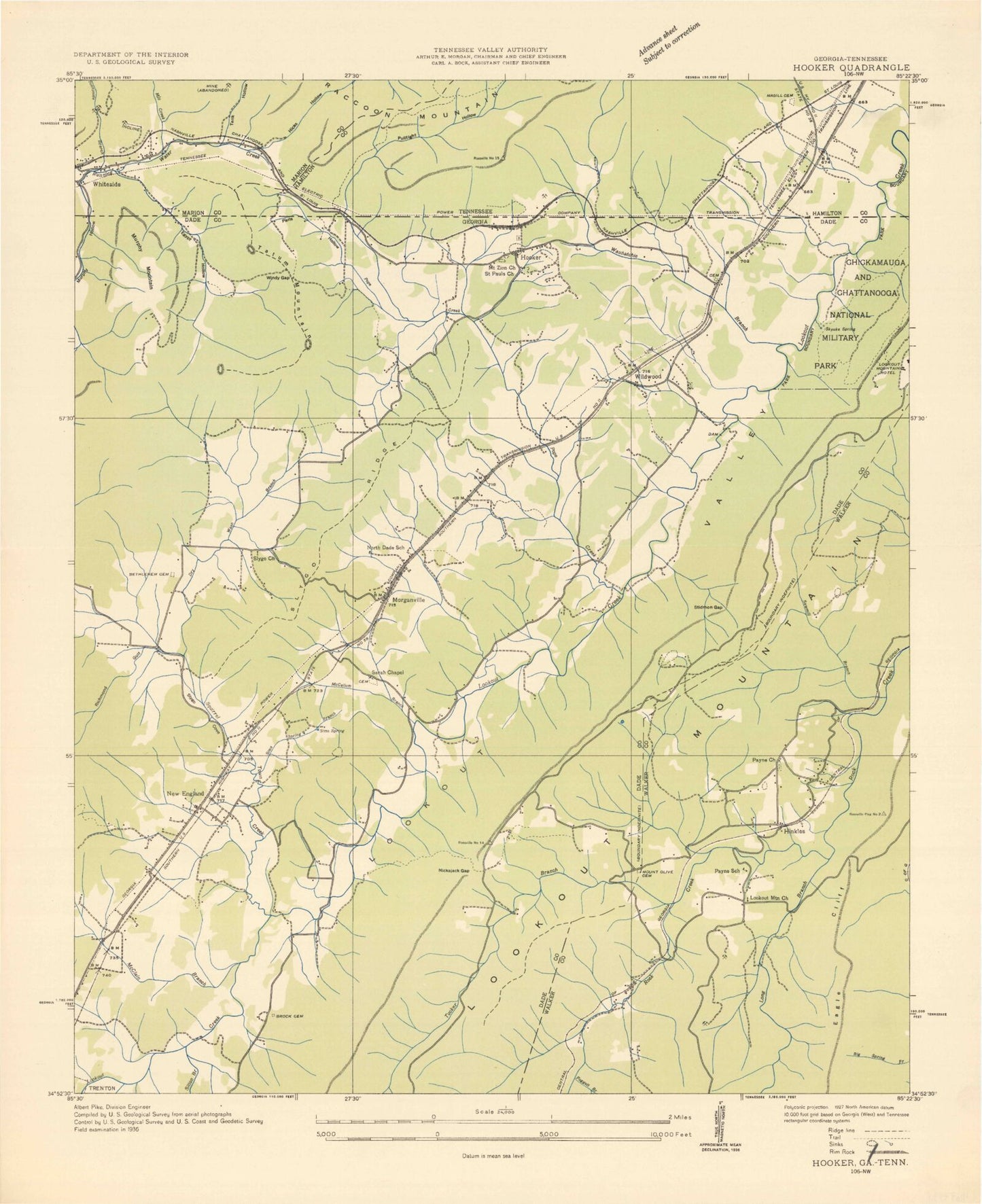
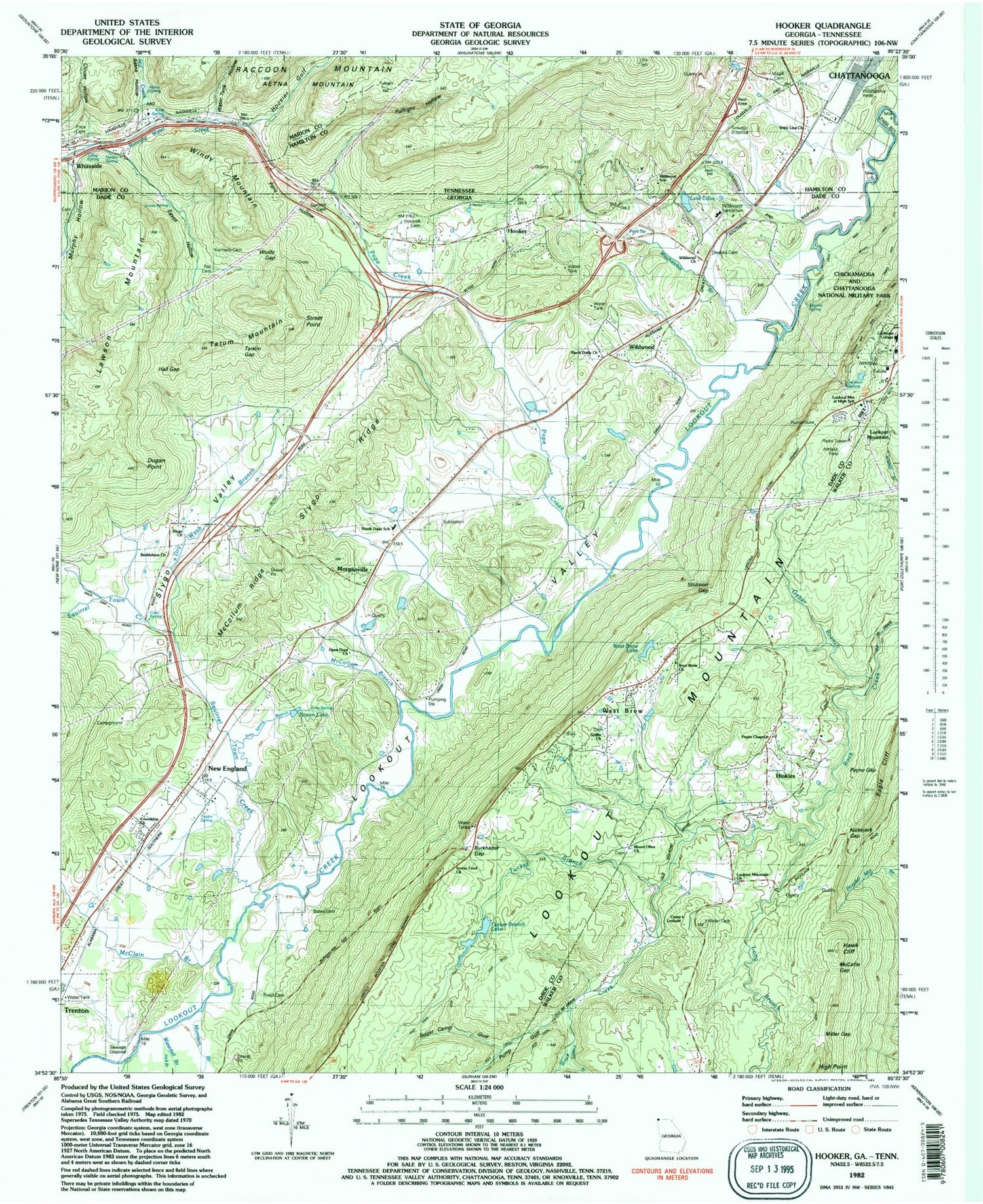
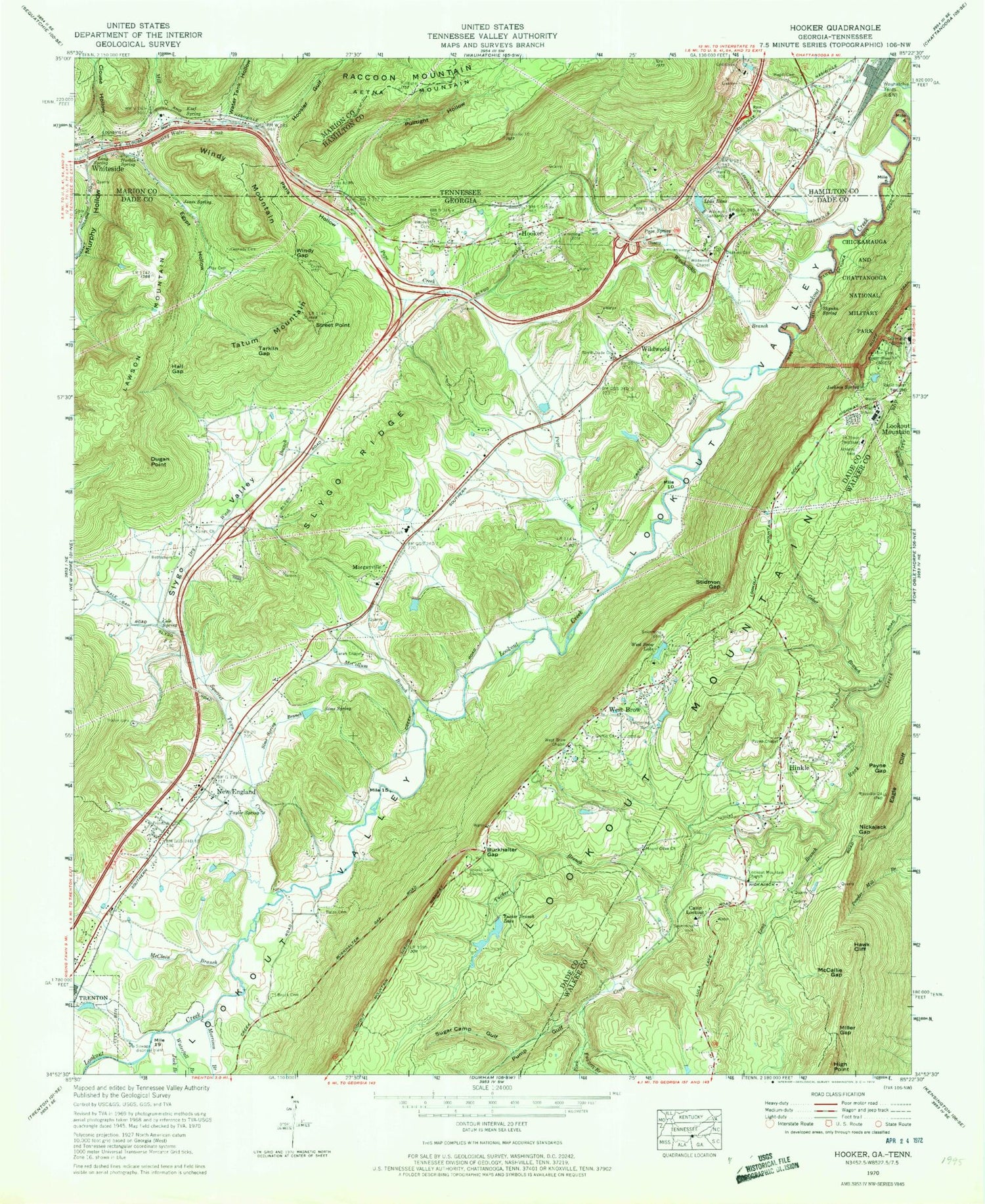
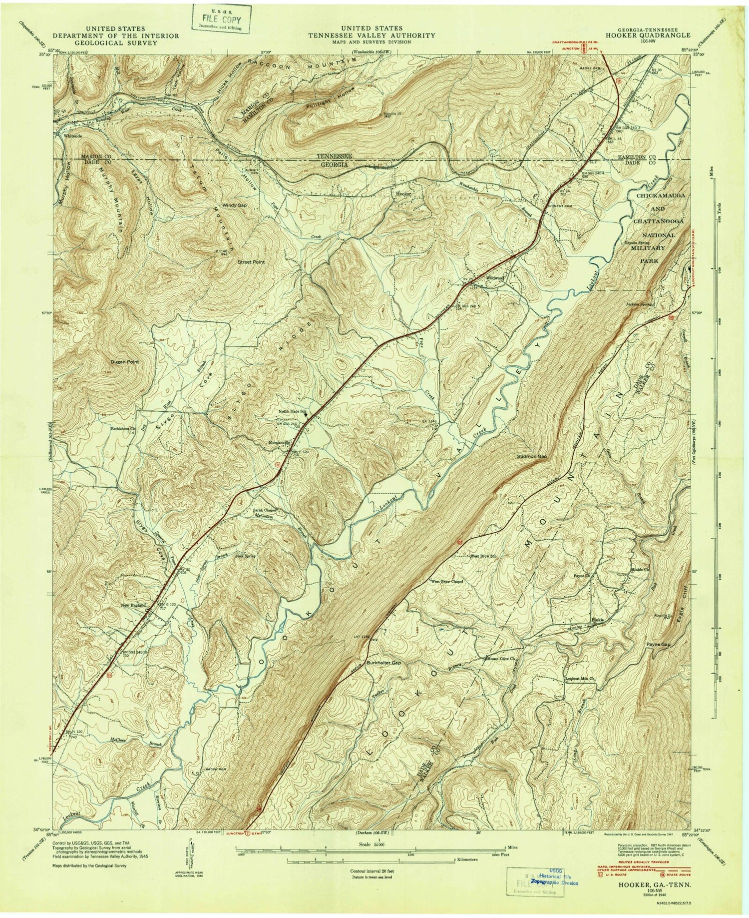
Historical USGS topographic quad map of Hooker in the states of Georgia, Tennessee. Typical map scale is 1:24,000, but may vary for certain years, if available. Print size: 24" x 27"
This quadrangle is in the following counties: Dade, Hamilton, Marion, Walker.
The map contains contour lines, roads, rivers, towns, and lakes. Printed on high-quality waterproof paper with UV fade-resistant inks, and shipped rolled.
Contains the following named places: Bates Cemetery, Bethlehem Church, Brock Cemetery, Camp Lookout, Cole Spring, Covenant College, Dry Wash Branch, Dugan Point, Fuggett Branch, Griffin Church, Hall Gap, Haswell Cemetery, Hawk Cliff, High Point, Jack Branch, Jackson Cemetery, Jackson Spring, Jones Spring, Kennedy Cemetery, Lookout Mountain Church, McCallie Gap, McClain Branch, McCollum Branch, Miller Gap, Morrison Branch, Mount Olive Church, Nickajack Gap, North Dade Church, North Dade School, Paris Hollow, Payne Chapel, Payne Gap, Pope Creek, Pope Spring, Pump Gulf, Ray Cemetery, Scenic Land Church, Sims Spring, Sims Spring Branch, Skyuka Spring, Skyuka Trail, Slygo Missionary Baptist Church, Slygo Ridge, Squirrel Town Creek, Stidmon Gap, Street Point, Sugar Camp Gulf, Summit Cemetery, Tarkiln Gap, Taylor Spring, Tucker Branch, Tucker Branch Lake, Wauhatchie Branch, West Brow Lake, Wildwood Lifestyle Center and Hospital, Windy Gap, Hinkles, Hooker, Morganville, Tatum Mountain, West Brow, Wildwood, Windy Mountain, Bethlehem Cemetery, Brown Lake, Lookout Mountain Junior High School, McCollum Ridge, Mount Zion Church, New England Baptist Church, Saint Pauls Church (historical), West Brow Church, West Brow School (historical), Tucker Branch Lake Dam, West Brow Lake Dam, Smythe Lake Dam, Smythe Lake, New England, Morganville United Methodist Church, Calvary Church, Wildwood Church, Wildwood Post Office, WBDX-FM (Trenton), WELF-TV (Dalton), Hinkles Church, Jamesburg, Mount Olive Cemetery, Payne School (historical), Paynes Chapel Cemetery, Burkhalter Gap, Deakins Cemetery, Friendship Baptist Church, Geber Branch, Lawson Mountain, Open Door Church, Sitton Gulch Creek, Slygo Valley, Waterfall Branch, West Brow Chapel, Wildwood Church, Lake Edna, Lookout Mountain Division, Flintstone Air Force Station (historical), Lookout Mountain Airport, North Dade Volunteer Fire Department, West Brow Fire Department, Walker County Emergency Services Fire Station 4, West Brow Census Designated Place, Wildwood Census Designated Place, New England Census Designated Place, Egypt Hollow, Murphy Hollow, Murphy Hollow Creek, Mill Creek, State Line Church, Wauhatchie Yards, Windy Mountain, Clouse Hollow, Harbin Spring, Hoosier Gulf, Keef Spring, Long Spring, Magill Cemetery, Price Cemetery, Pulltight Hollow, Water Tank Hollow, Aetna Hollow, Aetna Spring, Whiteside, Whiteside Church of God, Whiteside United Methodist Church, Whiteside Baptist Church, Whiteside Post Office, Whiteside Census Designated Place, Bates Cemetery, Bethlehem Church, Brock Cemetery, Camp Lookout, Cole Spring, Covenant College, Dry Wash Branch, Dugan Point, Fuggett Branch, Griffin Church, Hall Gap, Haswell Cemetery, Hawk Cliff, High Point, Jack Branch, Jackson Cemetery, Jackson Spring, Jones Spring, Kennedy Cemetery, Lookout Mountain Church, McCallie Gap, McClain Branch, McCollum Branch, Miller Gap, Morrison Branch, Mount Olive Church, Nickajack Gap, North Dade Church, North Dade School, Paris Hollow, Payne Chapel, Payne Gap, Pope Creek, Pope Spring, Pump Gulf, Ray Cemetery, Scenic Land Church, Sims Spring, Sims Spring Branch, Skyuka Spring, Skyuka Trail, Slygo Missionary Baptist Church, Slygo Ridge, Squirrel Town Creek, Stidmon Gap, Street Point, Sugar Camp Gulf, Summit Cemetery, Tarkiln Gap, Taylor Spring, Tucker Branch, Tucker Branch Lake, Wauhatchie Branch, West Brow Lake, Wildwood Lifestyle Center and Hospital, Windy Gap, Hinkles, Hooker, Morganville, Tatum Mountain, West Brow, Wildwood, Windy Mountain, Bethlehem Cemetery, Brown Lake, Lookout Mountain Junior High School, McCollum Ridge, Mount Zion Church, New England Baptist Church, Saint Pauls Church (historical), West Brow Church, West Brow School (historical), Tucker Branch Lake Dam, West Brow Lake Dam, Smythe Lake Dam, Smythe Lake, New England, Morganville United Methodist Church, Calvary Church, Wildwood Church, Wildwood Post Office, WBDX-FM (Trenton), WELF-TV (Dalton), Hinkles Church, Jamesburg, Mount Olive Cemetery, Payne School (historical), Paynes Chapel Cemetery, Burkhalter Gap, Deakins Cemetery, Friendship Baptist Church, Geber Branch, Lawson Mountain, Open Door Church, Sitton Gulch Creek, Slygo Valley, Waterfall Branch, West Brow Chapel, Wildwood Church, Lake Edna, Lookout Mountain Division, Flintstone Air Force Station (historical), Lookout Mountain Airport
