MyTopo
Classic USGS Hoopeston Illinois 7.5'x7.5' Topo Map
Couldn't load pickup availability
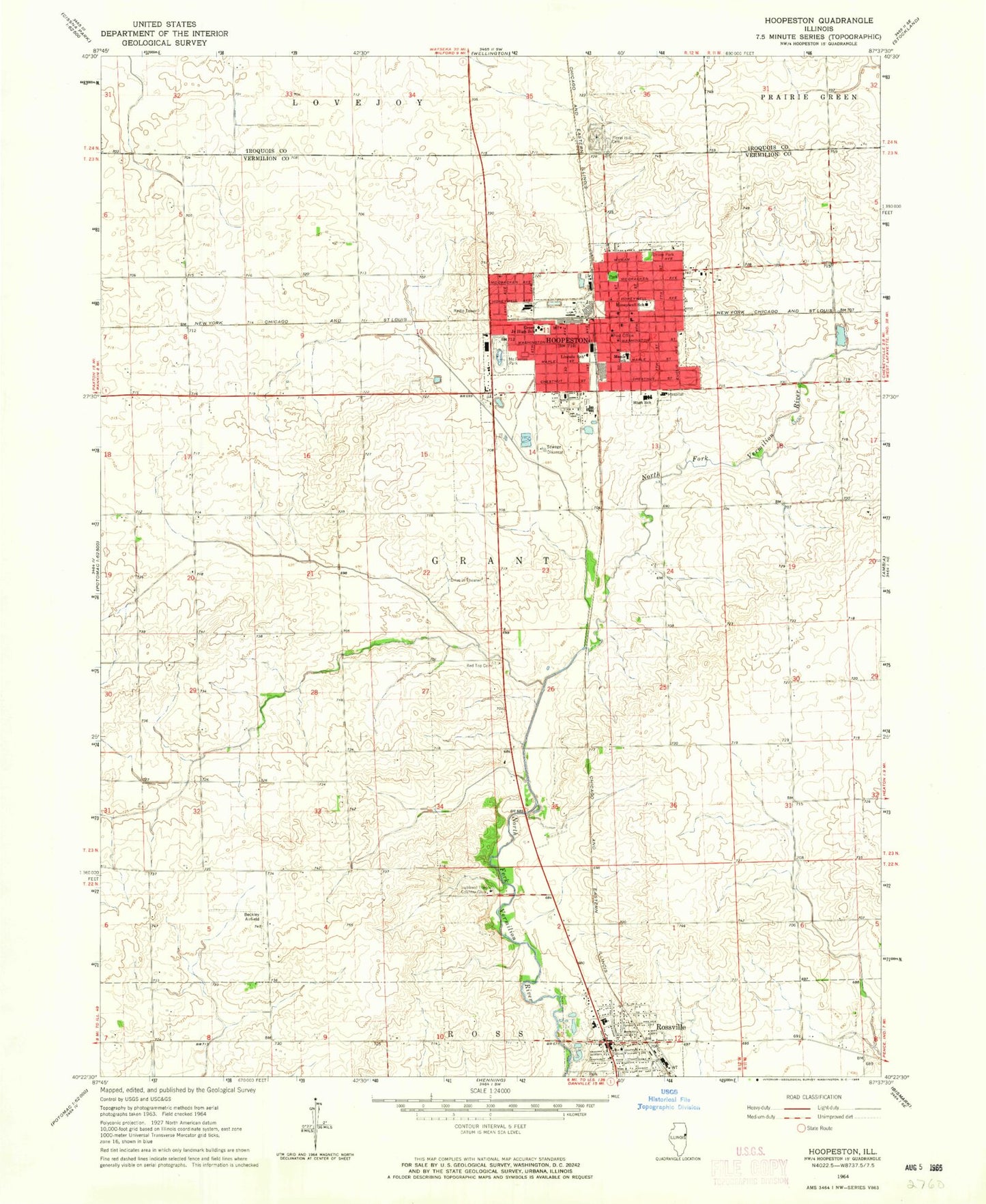
Historical USGS topographic quad map of Hoopeston in the state of Illinois. Map scale may vary for some years, but is generally around 1:24,000. Print size is approximately 24" x 27"
This quadrangle is in the following counties: Iroquois, Vermilion.
The map contains contour lines, roads, rivers, towns, and lakes. Printed on high-quality waterproof paper with UV fade-resistant inks, and shipped rolled.
Contains the following named places: Beckley Airfield, Bristle Ridge School, Carle Hoopeston Regional Health Center, City of Hoopeston, Cunningham School, Demaree School, Excelsior School, Floral Hill Cemetery, Frank School, Grant School, Honeywell Elementary School, Hoopeston, Hoopeston Area High School, Hoopeston Community Ambulance Service, Hoopeston Community Memorial Hospital Heliport, Hoopeston Police Department, Hoopeston Post Office, Hoopeston United Methodist Church, Hoopeston Volunteer Fire Department, Hubbard Trail Country Club, John Greer Elementary School, Liberty School, Lincoln School, Maple Elementary School, McFerren Park, Red Top Cemetery, Redtop School, Rossville, Rossville Area Fire Protection District, Rossville Community Ambulance Service, Rossville Police Department, Rossville Post Office, Rossville-Alvin Elementary School, Rossville-Alvin High School, Squankum School, Township of Grant, Union Park, Village of Rossville, Waveland School, WHPO-FM (Hoopeston), ZIP Code: 60942


