MyTopo
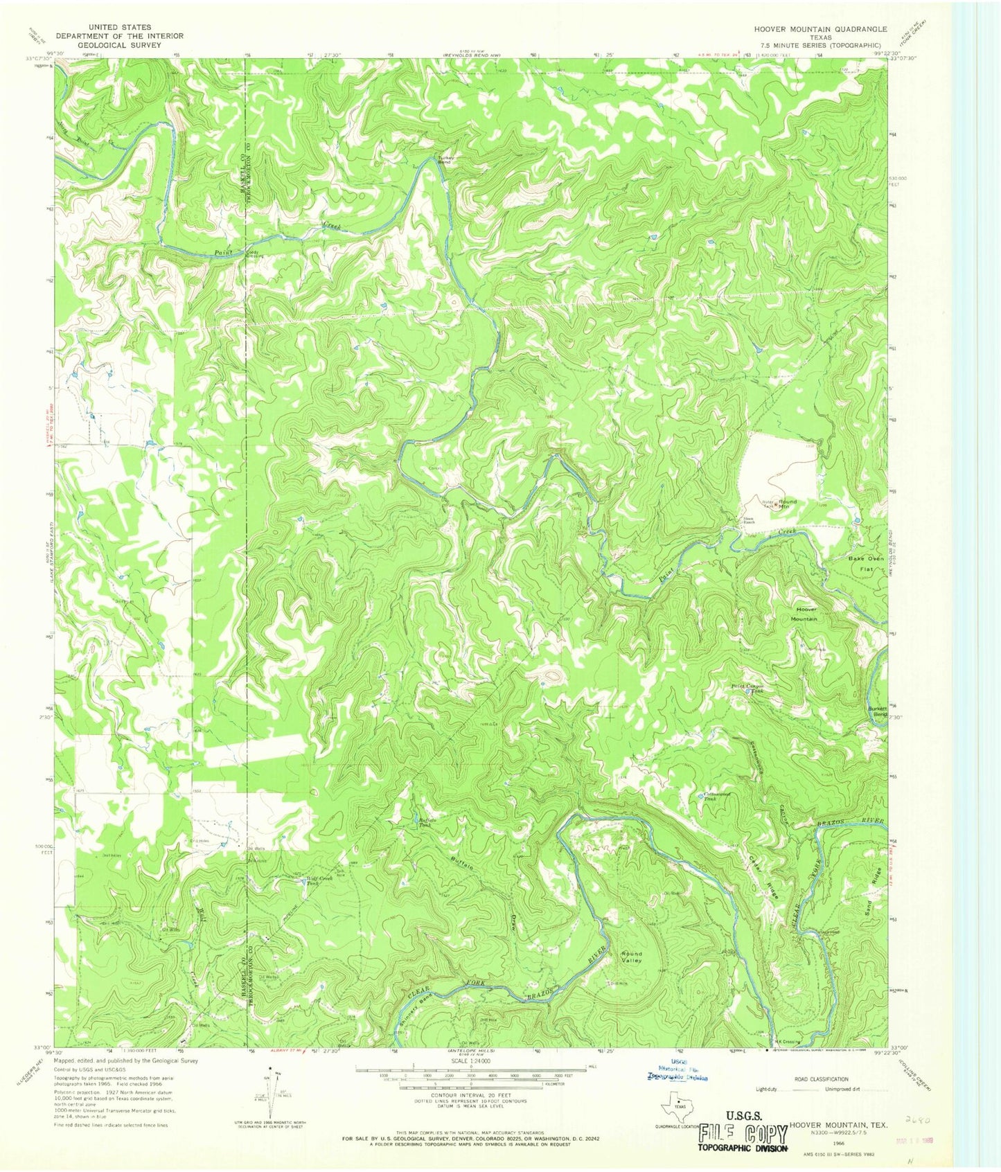
Classic USGS Hoover Mountain Texas 7.5'x7.5' Topo Map
Couldn't load pickup availability
Historical USGS topographic quad map of Hoover Mountain in the state of Texas. Map scale may vary for some years, but is generally around 1:24,000. Print size is approximately 24" x 27"
This quadrangle is in the following counties: Haskell, Throckmorton.
The map contains contour lines, roads, rivers, towns, and lakes. Printed on high-quality waterproof paper with UV fade-resistant inks, and shipped rolled.
Contains the following named places: Buffalo Draw, Buffalo Tank, Burkett Bend, Cedar Ridge, Coody Crossing, Cottonwood Canyon, Cottonwood Tank, Dug Ford, Hoover Mountain, M K Crossing, North Paint Creek, Paint Canyon Tank, Round Mountain, Round Valley, Sand Ridge, Shinnery Bend, Sloan Ranch, Turkey Bend, Wolf Creek Tank