MyTopo
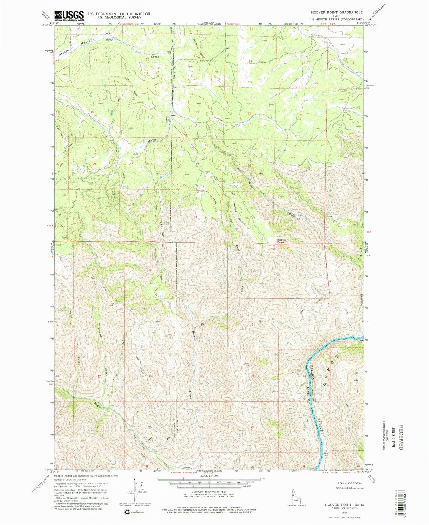
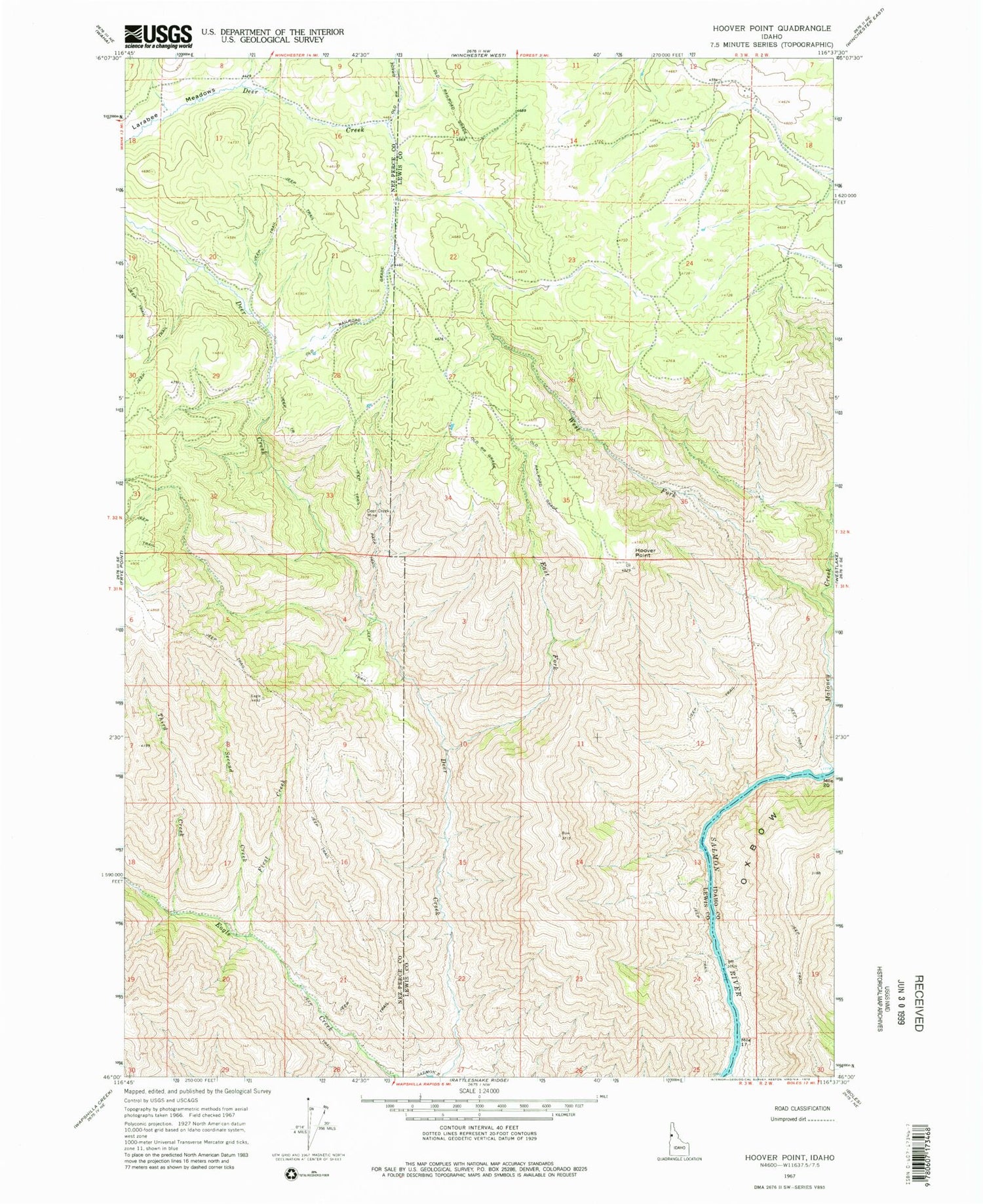
Classic USGS Hoover Point Idaho 7.5'x7.5' Topo Map
Regular price
$16.95
Regular price
Sale price
$16.95
Unit price
per
Couldn't load pickup availability
Historical USGS topographic quad map of Hoover Point in the state of Idaho. Map scale may vary for some years, but is generally around 1:24,000. Print size is approximately 24" x 27"
This quadrangle is in the following counties: Idaho, Lewis, Nez Perce.
The map contains contour lines, roads, rivers, towns, and lakes. Printed on high-quality waterproof paper with UV fade-resistant inks, and shipped rolled.
Contains the following named places: Deer Creek Airport, Deer Creek Mine, East Fork Deer Creek, First Creek, Hoover Point, Larabee Meadows, Maloney Creek, Oxbow, Second Creek, Third Creek, West Fork Maloney Creek