MyTopo
Classic USGS Hooversville Pennsylvania 7.5'x7.5' Topo Map
Couldn't load pickup availability
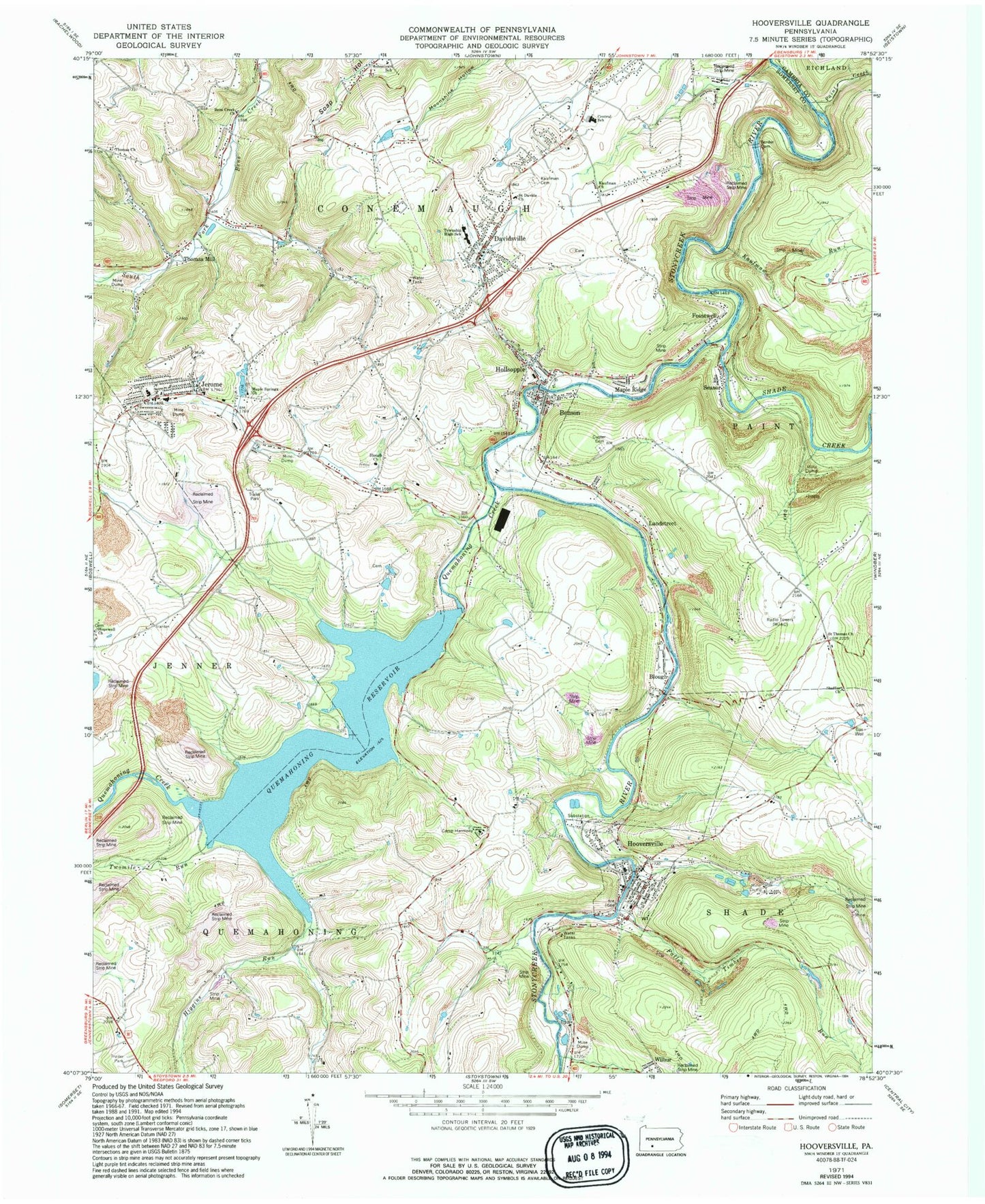
Historical USGS topographic quad map of Hooversville in the state of Pennsylvania. Map scale may vary for some years, but is generally around 1:24,000. Print size is approximately 24" x 27"
This quadrangle is in the following counties: Cambria, Somerset.
The map contains contour lines, roads, rivers, towns, and lakes. Printed on high-quality waterproof paper with UV fade-resistant inks, and shipped rolled.
Contains the following named places: Bens Creek Church, Benson, Blough, Blough Church, Blough School, Border, Borough of Benson, Borough of Hooversville, Camp Harmony, Central School, Conemaugh Township Emergency Medical Services Substation - Station 640, Custer Community Cemetery, Davidsville, Davidsville Census Designated Place, Davidsville Post Office, Fallen Timber Run, Foustwell, Higgins Run, Hiyasota, Hollsopple, Hollsopple Post Office, Hollsopple Volunteer Fire Department - Station 616 Company 2, Hooversville, Hooversville Borough Police Department, Hooversville Emergency Medical Services, Hooversville Post Office, Hooversville Volunteer Fire Department - Station 614, Hopewell Church, Horner Church, Houston School, Jerome, Jerome Census Designated Place, Jerome Junction, Jerome Post Office, Jerome Volunteer Fire Company - Station 631, Johnstown Christian School, Kaufman Cemetery, Kaufman Church, Kaufman Run, Kaufman School, Keafer School, Landstreet, Maple Ridge, Maple Springs Church, Number 38, Ober School, Paint Creek, Quemahoning Creek, Quemahoning Dam, Quemahoning Reservoir, Saint Davids Church, Saint Thomas Church, Seanor, Shade Creek, Shaffer Church, Somerset Township High School, Southern Alleghenies Landfill, Stanton Mills, Thomas Church, Thomas Mill, Township of Conemaugh, Twomile Run, WJAC-AM (Johnstown), ZIP Codes: 15928, 15935, 15936, 15937, 15953


