MyTopo
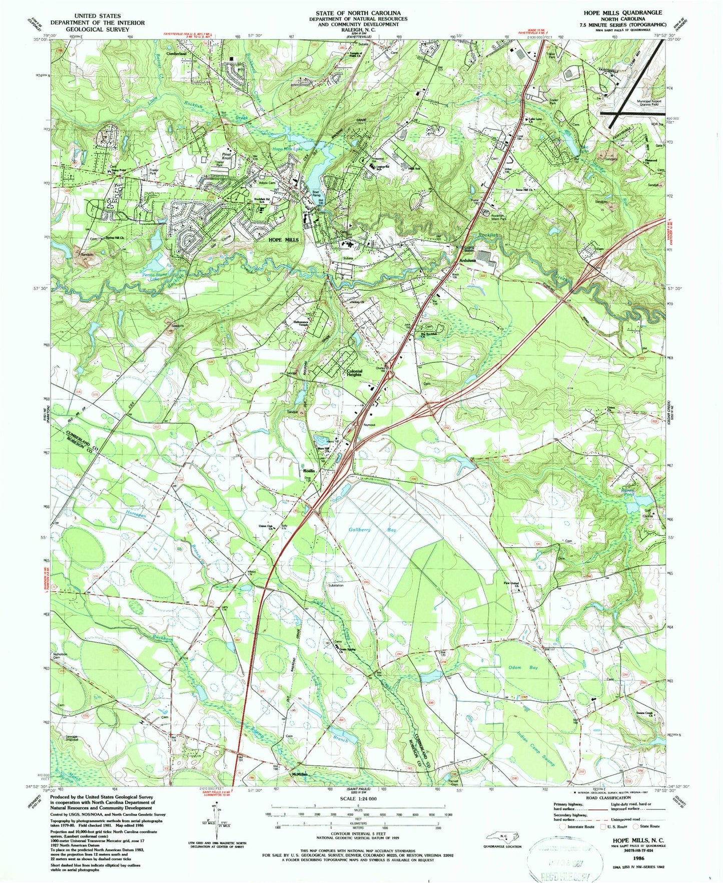
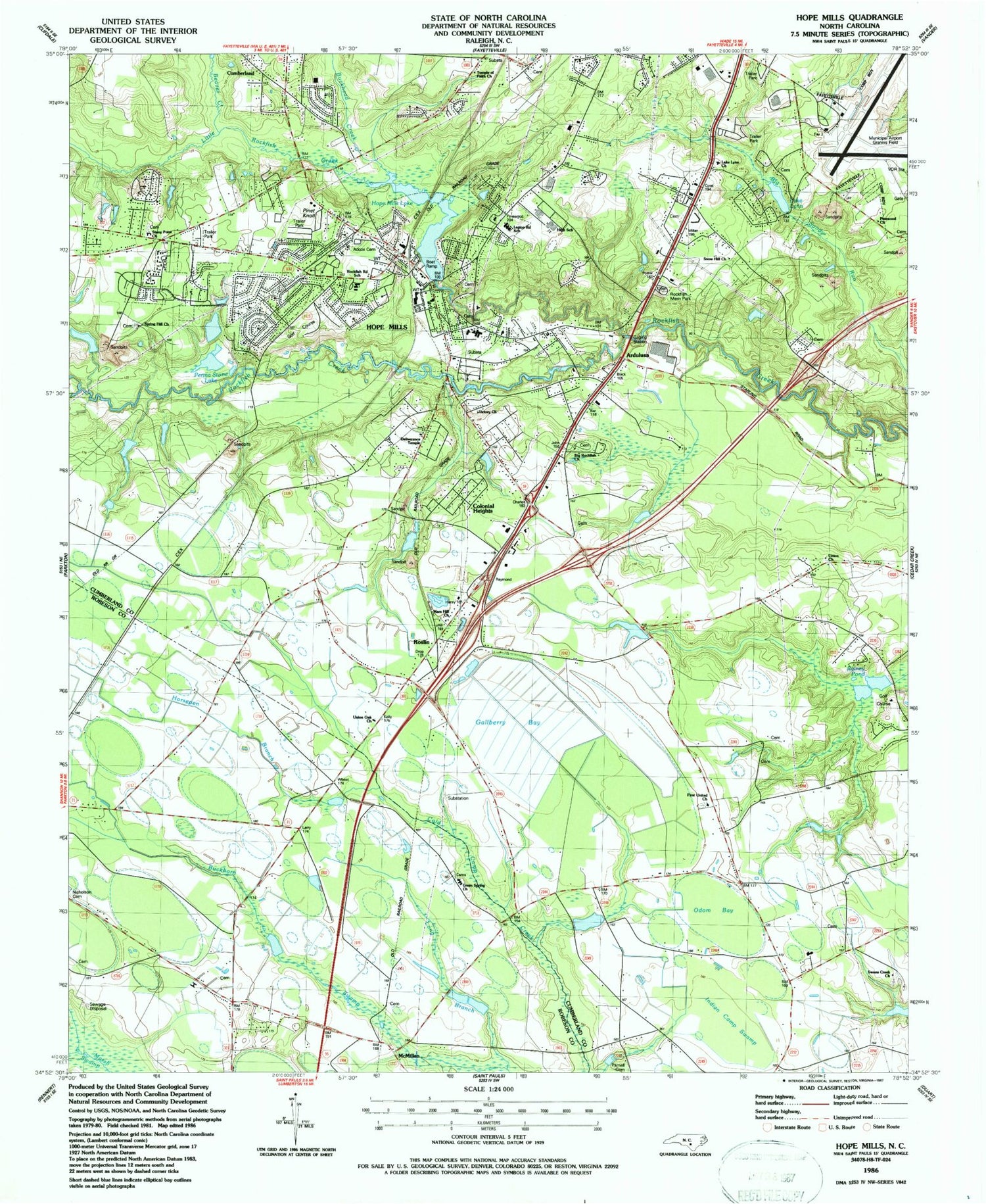
Classic USGS Hope Mills North Carolina 7.5'x7.5' Topo Map
Couldn't load pickup availability
Historical USGS topographic quad map of Hope Mills in the state of North Carolina. Map scale may vary for some years, but is generally around 1:24,000. Print size is approximately 24" x 27"
This quadrangle is in the following counties: Cumberland, Robeson.
The map contains contour lines, roads, rivers, towns, and lakes. Printed on high-quality waterproof paper with UV fade-resistant inks, and shipped rolled.
Contains the following named places: Adcox Cemetery, Ardulusa, Beaver Creek, Big Rockfish Church, Bonair Place, Buckhead Creek, C Wayne Collier Elementary School, Clifton Forge, Colonial Heights, Cotton Volunteer Fire Department, Creekbend, Cypress Lake Dam, Decker Heights, Deliverence Temple, Dunns Marsh, Eaglewood Forest, Fairway Forest, Fayetteville Fire Department Station 10, Fayetteville Regional Airport/Grannis Field, First United Church, Gallberry Bay, Golfer Acres, Green Spring Church, Hope Mills, Hope Mills Dam Number One, Hope Mills Fire Department, Hope Mills High School, Hope Mills Junior High School, Hope Mills Lake, Hope Mills Police Department, Hope Mills Post Office, Horsepen Branch, Indian Camp Swamp, Lake Charles, Lake Charles Dam, Lake Lynn, Lake Lynn Church, Lake Lynn Dam, Legion Road School, Little Rockfish Creek, Long Branch, Mars Hill Church, McMillan, Nicholson Cemetery, Number Two Lake, Odom Bay, Parnell Cemetery, Pearces Mill Fire Department, Perma Stone Lake, Permastone Lake Dam, Pine Knoll, Pinet Knoll, Pinewood Church, Pinewood Lakers, Rainey Pond, Riverview Estates, Rockfish Memorial Park, Rockfish Road School, Roslin, Snow Hill Church, South View Junior High School, South View Senior High School, Spring Hill Church, Stoney Point, Stony Point Church, Swans Creek Church, Swans Creek School, Tanglewood Estates, Temple of Faith Church, Timberlake, Town of Hope Mills, Township of Parkton, Township of Rockfish, Union Church, Union Oak Church, Victory Church, Village Green, ZIP Codes: 28306, 28348, 28371


