MyTopo
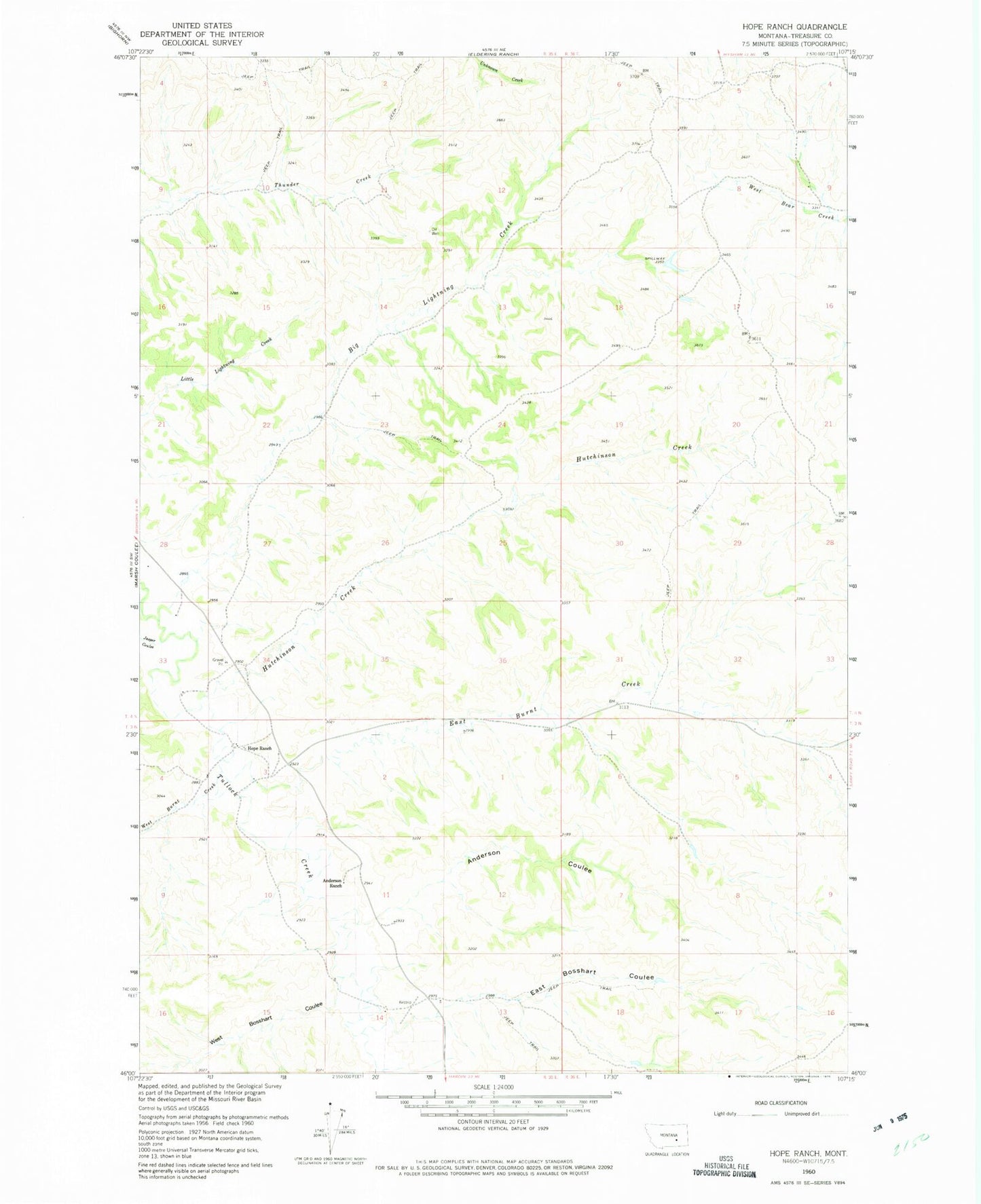
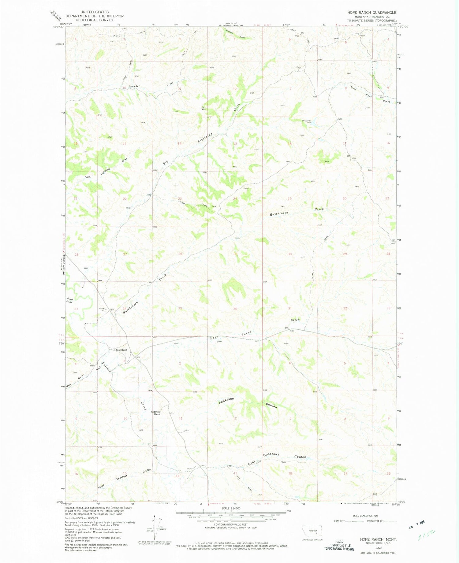
Classic USGS Hope Ranch Montana 7.5'x7.5' Topo Map
Couldn't load pickup availability
Historical USGS topographic quad map of Hope Ranch in the state of Montana. Map scale may vary for some years, but is generally around 1:24,000. Print size is approximately 24" x 27"
This quadrangle is in the following counties: Treasure.
The map contains contour lines, roads, rivers, towns, and lakes. Printed on high-quality waterproof paper with UV fade-resistant inks, and shipped rolled.
Contains the following named places: 03N35E01BBAC01 Well, 03N35E11D___01 Well, 03N35E14ACCC01 Well, 04N35E22DBCA01 Well, 04N35E25ABCC01 Well, 04N35E33A___01 Well, 04N36E09DBAA01 Well, Anderson Coulee, Anderson Ranch, Big Lightning Creek, East Bosshart Coulee, East Burnt Creek, Haystack Coulee, Hollister Coulee, Hope et al Number 1 Dam, Hope Ranch, Hutchinson Creek, Jasper Coulee, West Bosshart Coulee, West Burnt Creek