MyTopo
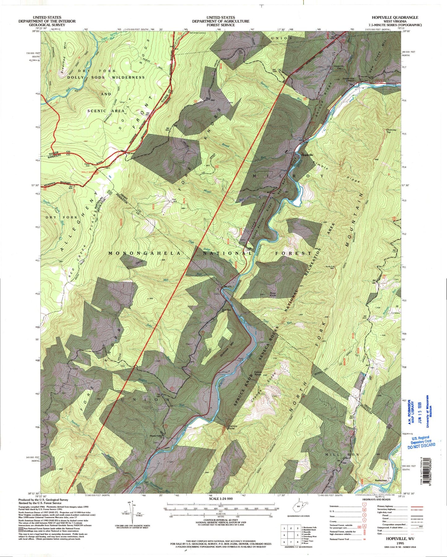
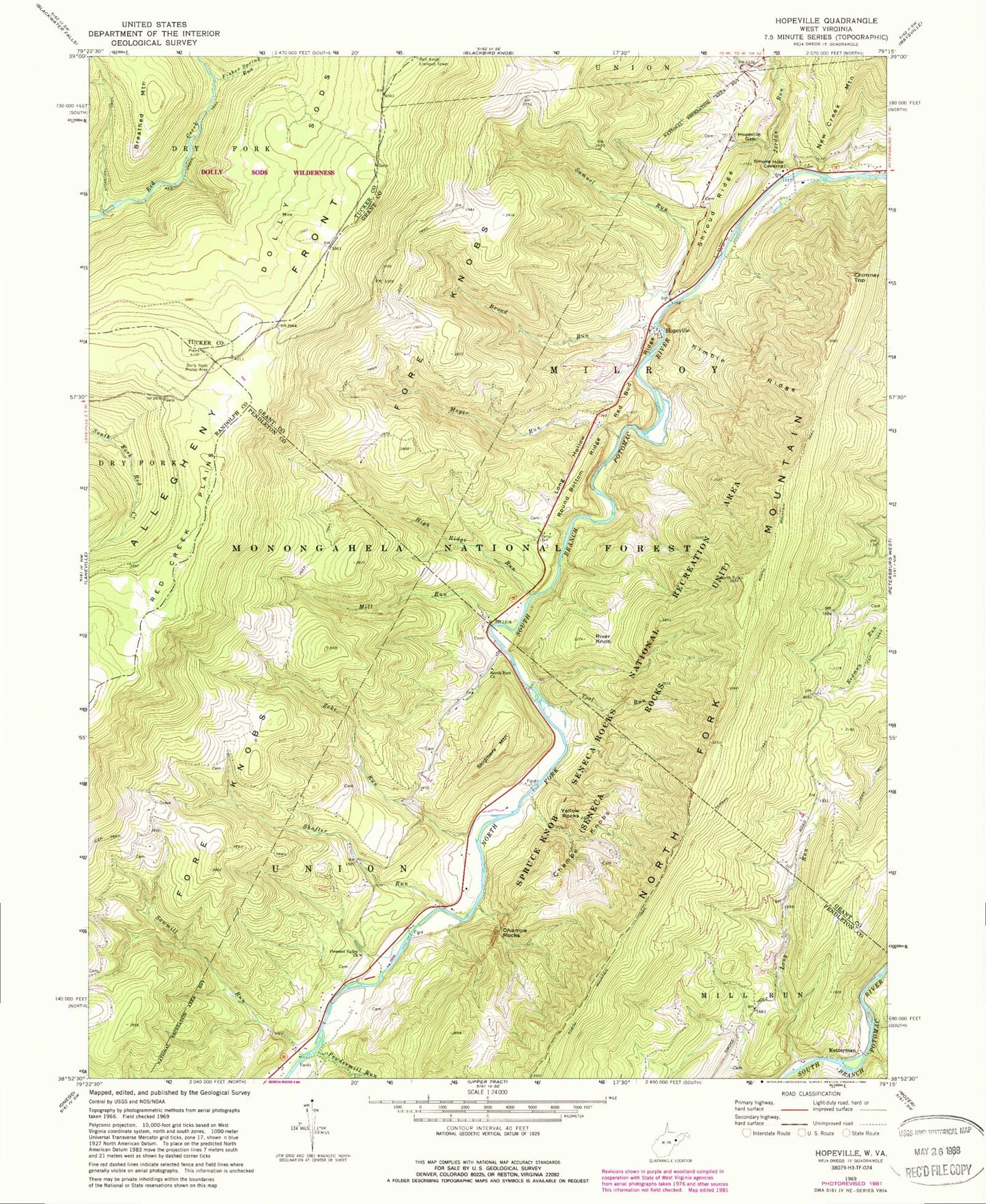
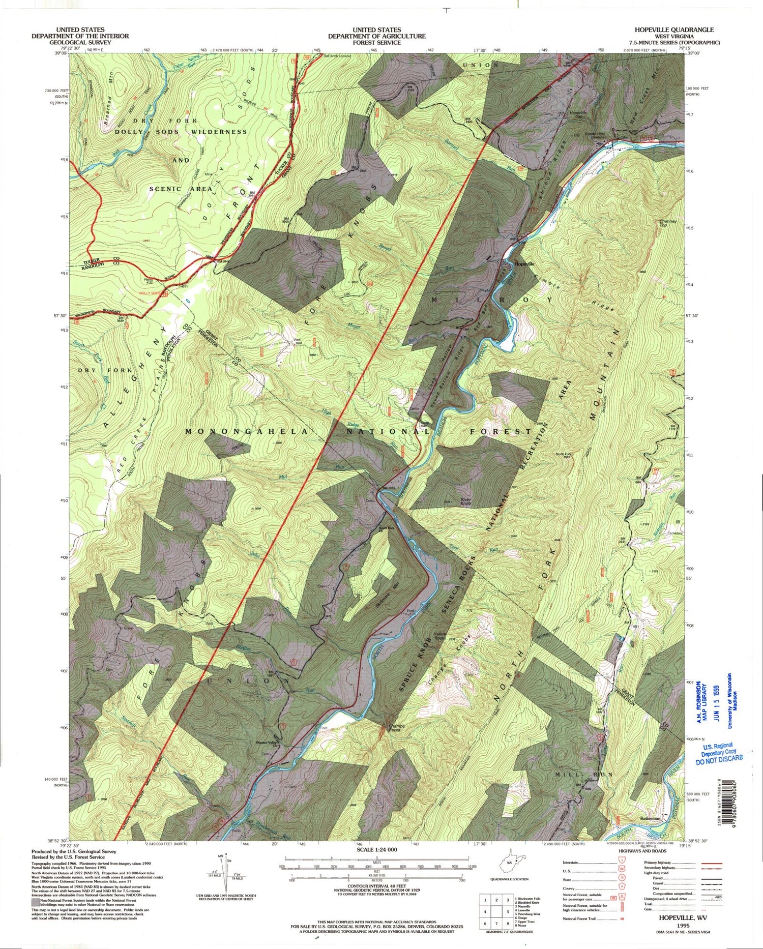
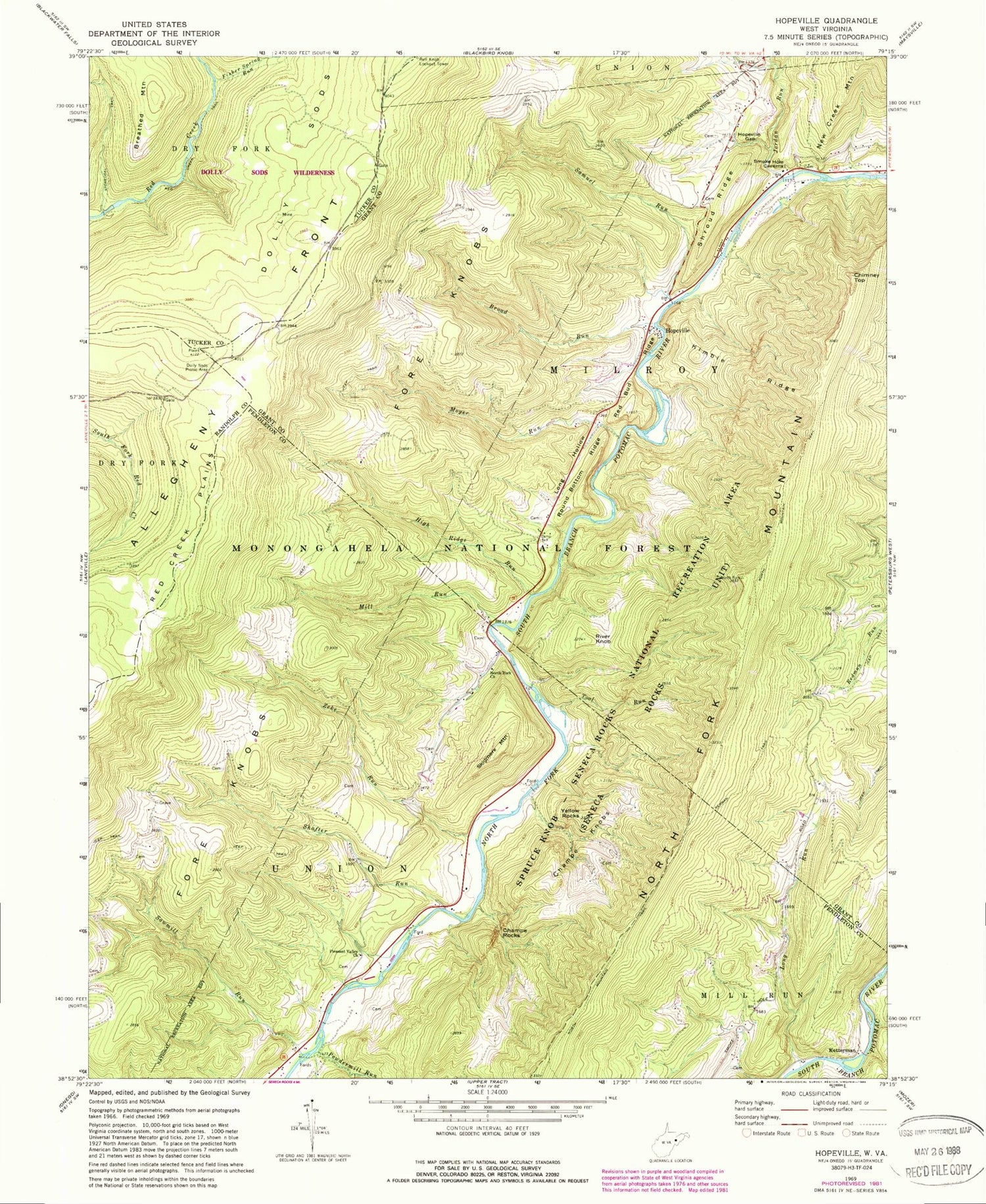
Classic USGS Hopeville West Virginia 7.5'x7.5' Topo Map
Couldn't load pickup availability
Historical USGS topographic quad map of Hopeville in the state of West Virginia. Typical map scale is 1:24,000, but may vary for certain years, if available. Print size: 24" x 27"
This quadrangle is in the following counties: Grant, Pendleton, Randolph, Tucker.
The map contains contour lines, roads, rivers, towns, and lakes. Printed on high-quality waterproof paper with UV fade-resistant inks, and shipped rolled.
Contains the following named places: Tool Run, Big Run, Broad Run, Champe Rocks, Chimney Top, Dolly Sods Picnic Area, Fisher Spring Run, High Ridge Run, Hopeville Gap, Jordan Run, Kimble Ridge, Long Hollow, Long Run, Mill Run, Moyer Run, North Fork Church, Pleasant Valley Church, Powdermill Run, Red Bud Ridge, Red Creek Plains, Red Creek Trail, Redman Trail, River Knob, Round Bottom Ridge, Samuel Run, Sawmill Run, Shafter Run, Shroud Ridge, South Prong Trail, Stonecoal Run, Yellow Rocks, Zeke Run, Spruce Knob-Seneca Rocks National Recreation Area, Breathed Mountain, Champe Knobs, Hopeville, Ketterman, Skidmore Mountain, Hopeville School (historical), Bell Knob Lookout Tower, Carr School (historical), Maple Dale School (historical), Smith Mountain School (historical), Trout Rocks Spring, Mill Spring, Hopeville Post Office (historical)


