MyTopo
Classic USGS Hopewell Kansas 7.5'x7.5' Topo Map
Couldn't load pickup availability
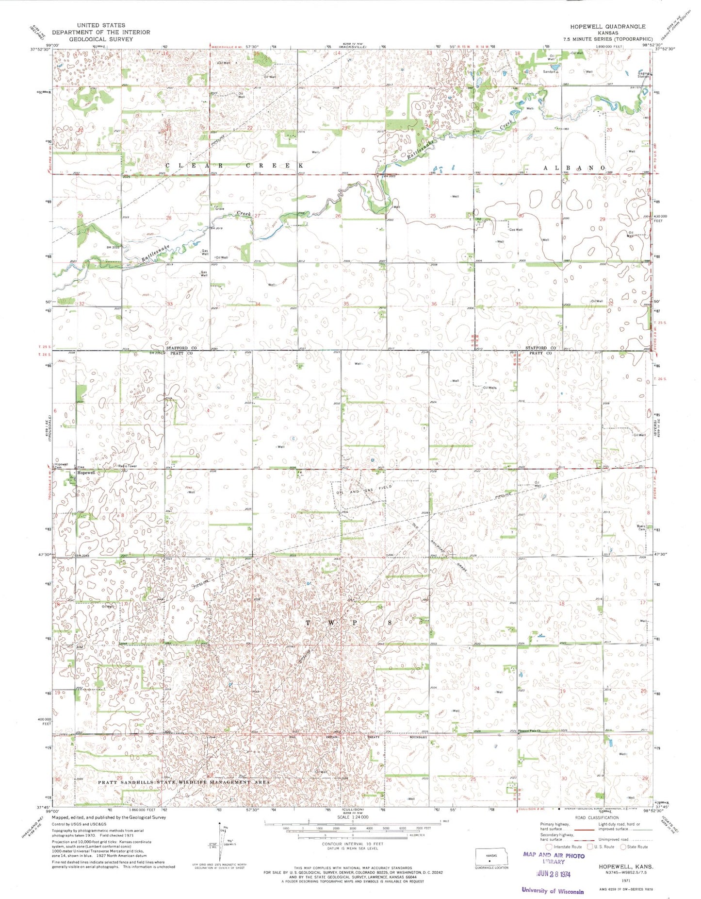
Historical USGS topographic quad map of Hopewell in the state of Kansas. Map scale may vary for some years, but is generally around 1:24,000. Print size is approximately 24" x 27"
This quadrangle is in the following counties: Pratt, Stafford.
The map contains contour lines, roads, rivers, towns, and lakes. Printed on high-quality waterproof paper with UV fade-resistant inks, and shipped rolled.
Contains the following named places: Byers Cemetery, Emerson, Hopewell, Kanza Co - Operative Association Grain Elevator Number 2, Nora, Noron, Pleasant Plain Church, Pleasant Plains Cemetery, Pratt Sandhills State Wildlife Management Area, Stotts Grain Grain Elevator Number 2, Township 8, Township of Clear Creek, ZIP Code: 67021