MyTopo
Classic USGS Hopewell Mississippi 7.5'x7.5' Topo Map
Couldn't load pickup availability
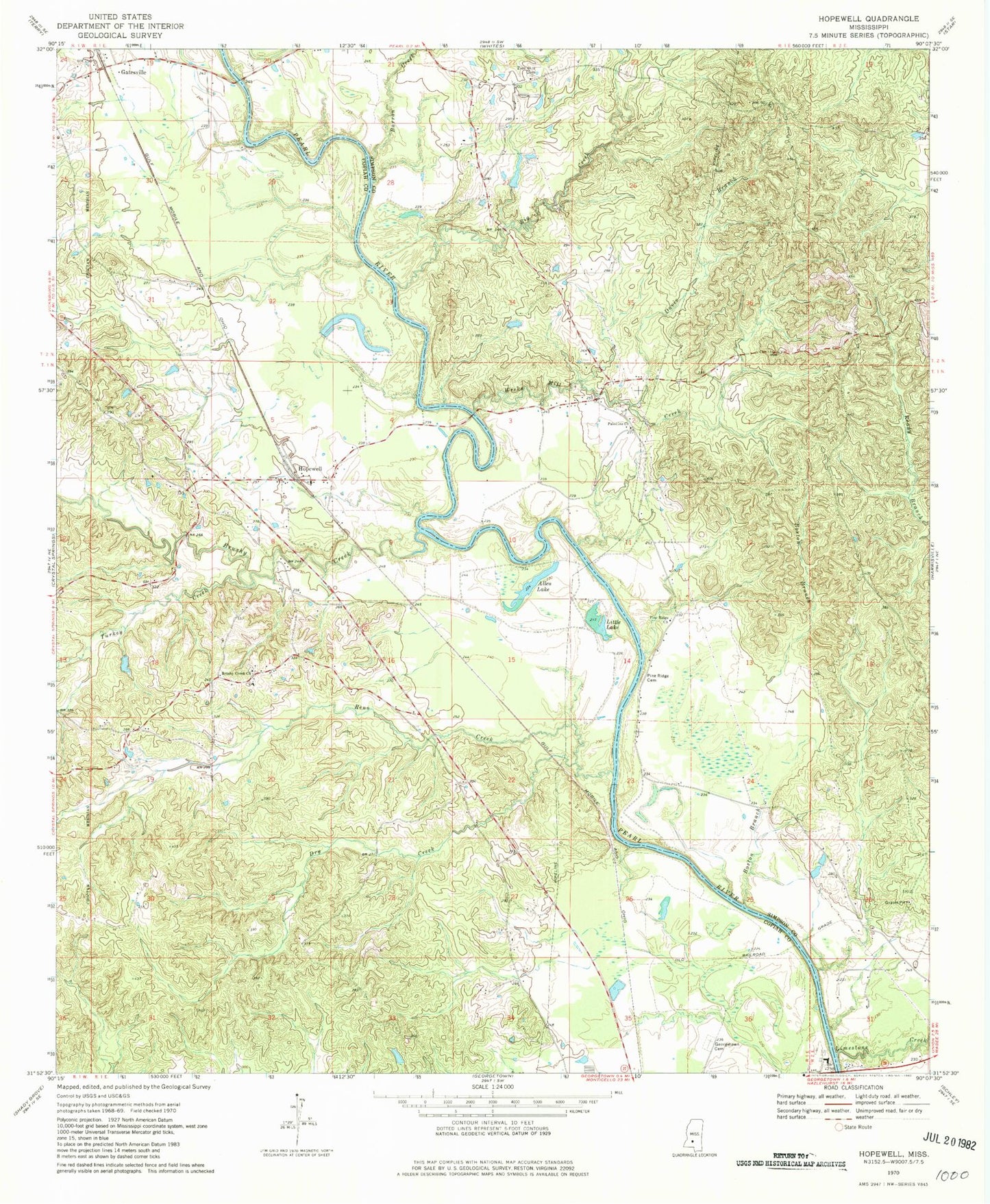
Historical USGS topographic quad map of Hopewell in the state of Mississippi. Map scale may vary for some years, but is generally around 1:24,000. Print size is approximately 24" x 27"
This quadrangle is in the following counties: Copiah, Simpson.
The map contains contour lines, roads, rivers, towns, and lakes. Printed on high-quality waterproof paper with UV fade-resistant inks, and shipped rolled.
Contains the following named places: Allen Lake, Barron Creek, Big Creek, Boston Branch, Brushy Creek, Brushy Creek Cemetery, Brushy Creek Church, Davis Branch, Dry Creek, E L Malvaney Lake Dam, Gatesville, Gatesville Bridge, Georgetown Bridge, Georgetown Cemetery, H F Sojourner Lake Dam, Hopewell, Hopewell Baptist Church, Hopewell Bridge, Hopewell Volunteer Fire Department, J A Steen Lake Dam, Limestone Creek, Little Lake, New Pilgrim School, Old Ruby Cemetery, Palestine Baptist Church, Palestine Cemetery, Pine Ridge Cemetery, Pine Ridge Church, Reno Creek, Ruby, Saint James Church, Tabernacle Church, Turkey Creek, Weeks Mill Creek, Zion Hill Cemetery, Zion Hill Church, ZIP Code: 39078